This post covers the last couple of days which have been a bit eventful. During our travels yesterday we started out with a beautiful day and no smoke. We left Prince George, an interesting city with the Fraser River running through it. The river seems as large as the Mississippi, and with all the snow melt it was raging. The roads here don’t have a lot of places you can safely pull over so no pictures. I would have tried for windshield shots but the bugs were so thick, all it looked like were a bunch of black dots 😦
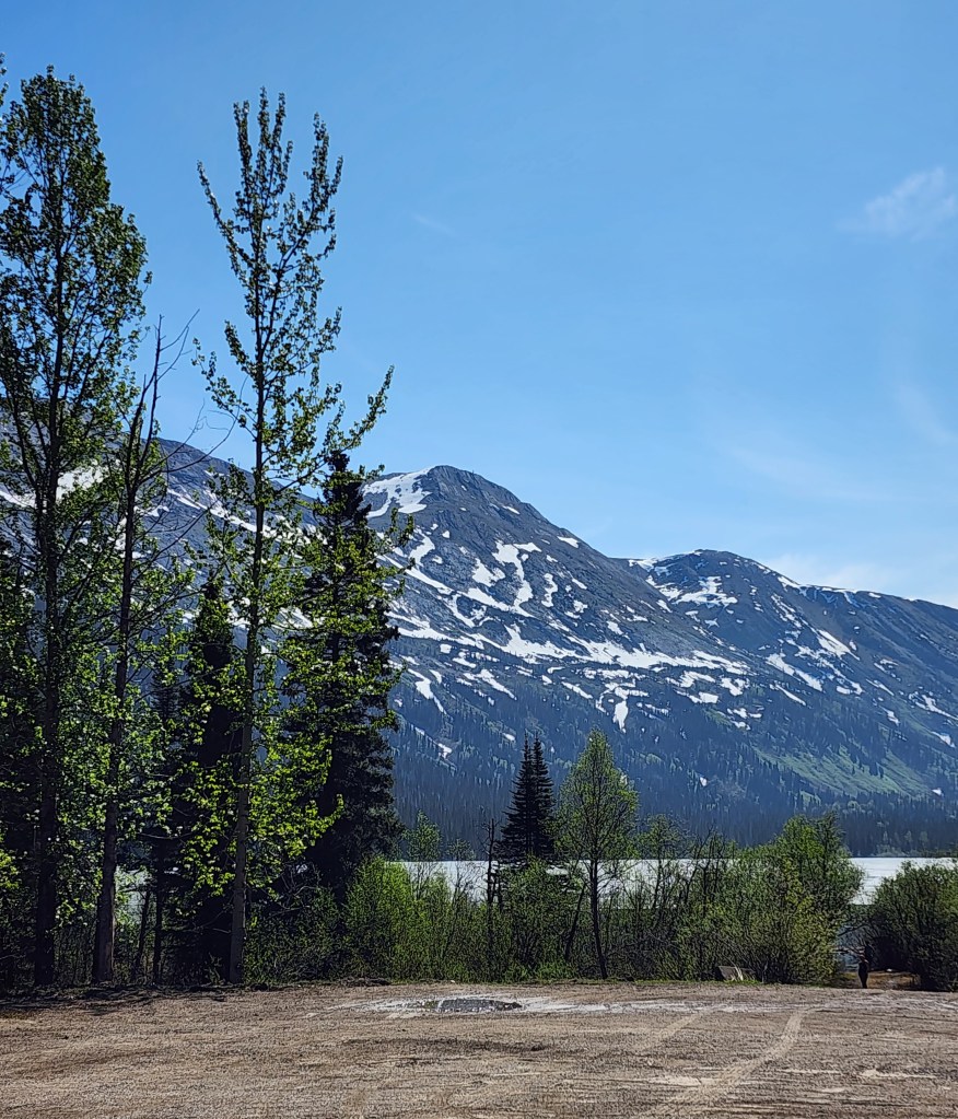
The first spot we could stop was at Azouzette Lake which still hadn’t thawed. But smoke returned as we headed further north.
That day we saw 4 black bears by the side of the road, but no ability to stop. The smoke picked up again shortly after I took this picture and stayed with us until Dawson Creek at our campground (remember, there are no clouds, this is all smoke). We had to keep the RV closed up for the smoke.
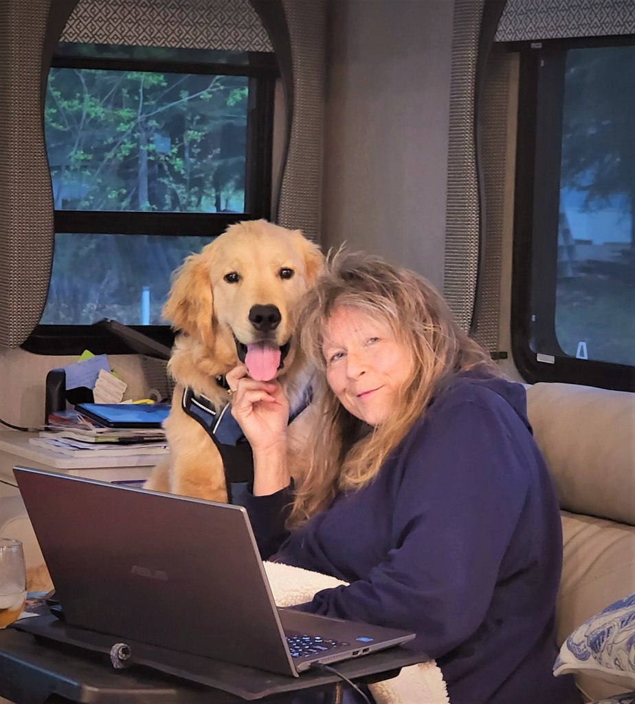
Unfortunately, during the drive that day Beau decided to cause some mischief and chewed my laptop power cord which I found when we stopped for the night. Double-unfortunately, Dawson Creek did not have a Costco or Best Buy (which we had the day before and there are none in our future), and my laptop takes an unusual charger. I had to get a new laptop at a small computer store to tide me over until I can get a charger delivered in 3 weeks. Needless to say, loading a new PC is a PITA, particularly as all of our trip information was on it! Really just getting normal reconnections tonight.
Today we headed further north from the bginning of the ALCAN Highway. Here is the infamous Mile Marker 0 in Dawson Creek.
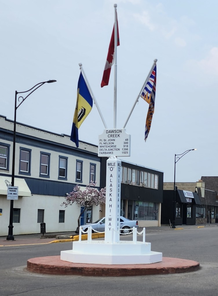
The ALCAN was constructed in 1942, starting in March and ending in October, over 1,523 miles and took 10,000 US troops. It was built in response to the bombing of Pearl Harbor, to link numerous US airfields supplying Russia, and as a response to Japanese attacks on the Aleutian Islands.
Canada switched to the metric system in the mid-1970s, at which time the mileposts formally were changed to the metric system. However, tradition remains and since then commemorative “mileposts” have been placed. Everything along the highway is referenced by this system (for example, “the next gas station is at Mile 235.3”).
However, soon after we got going the smoke became terrible and then we were at one of the fires right by the side of the road.
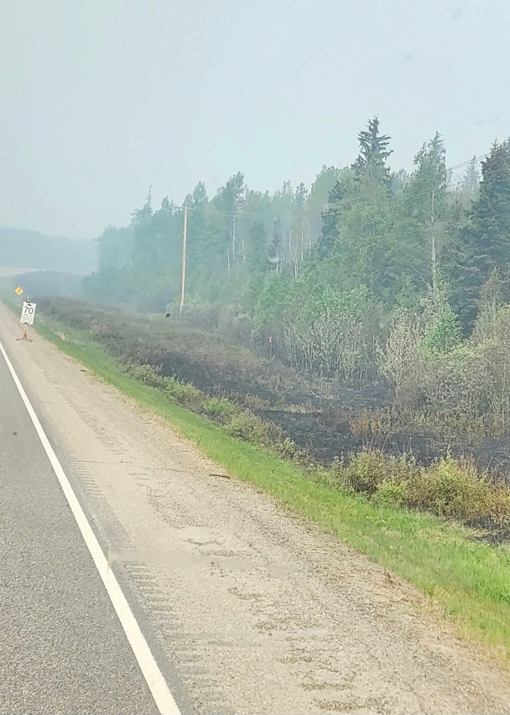
Fire fighters were actively fighting the fire which was still burning by the roadside, I have no pictures because getting through those spots was pretty tense. Tonight we are at the Sikanni Chief River, a very pretty spot. Fortunately there was a corker storm that came through after we made camp and provided some much needed rain. We hear tomorrow that things will be clearer and given the great BC Fire app on my phone, we shouldn’t have more fires – smoke maybe.
The Starlink mobile system continues to be awesome. In locations with no cell signal we get enough speed for solid internet, to watch movies and the news, and have wifi call capability on our phones – which for safety is a good thing.
Tonight, Beau and I have made up 🙂

I
LikeLike