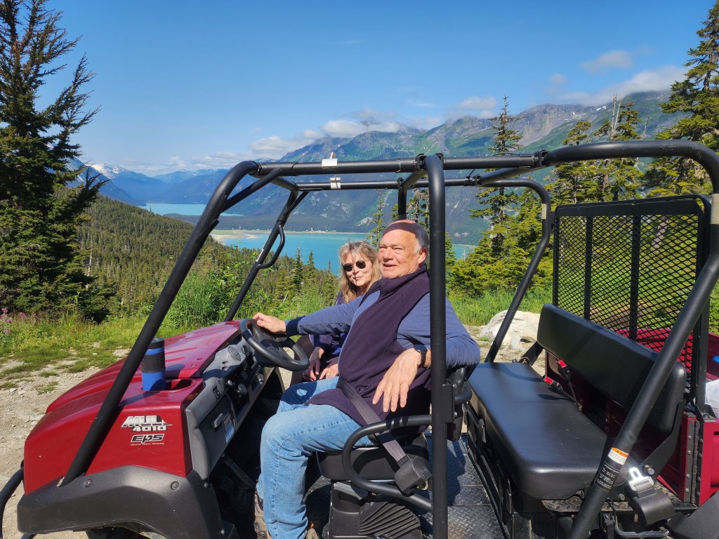
My apologies in taking so long to post this. The problem was that I took way too many pictures and it has taken forever to get through them.
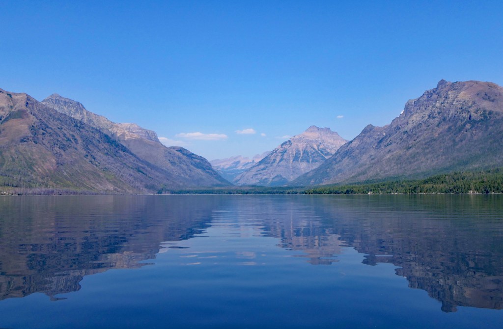
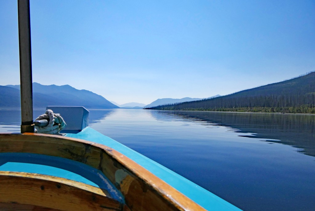
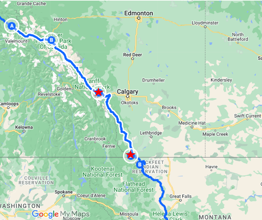
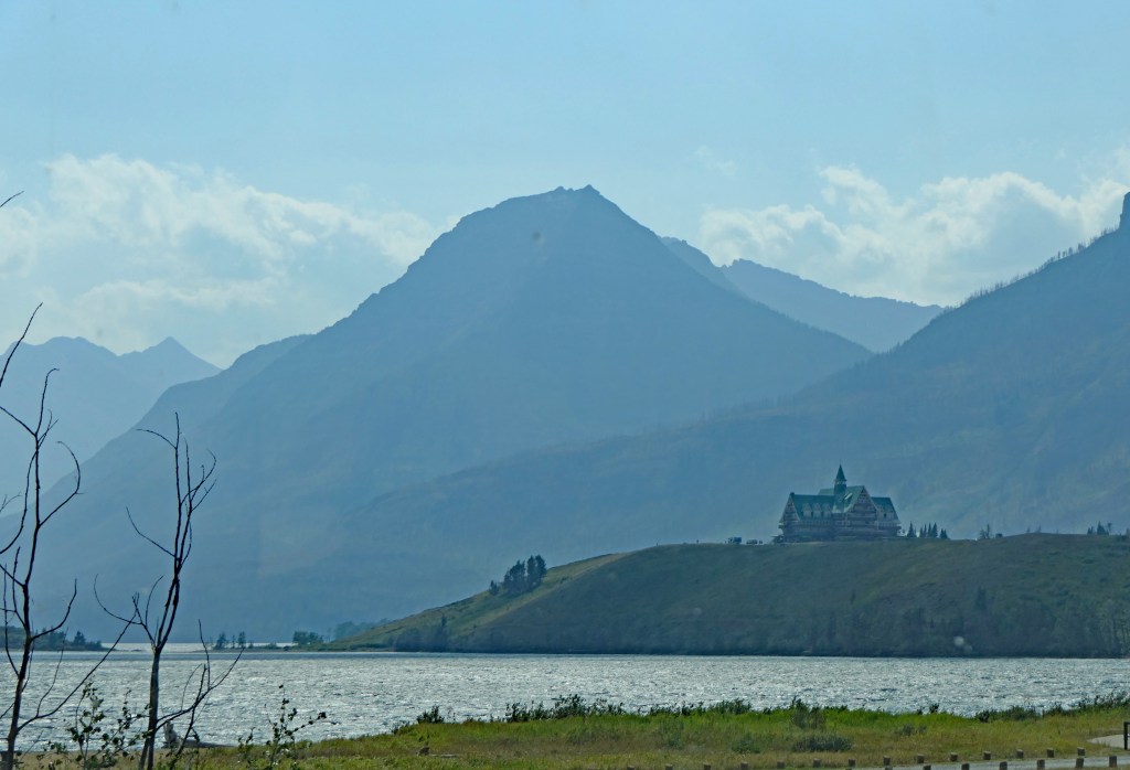
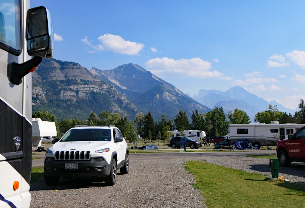
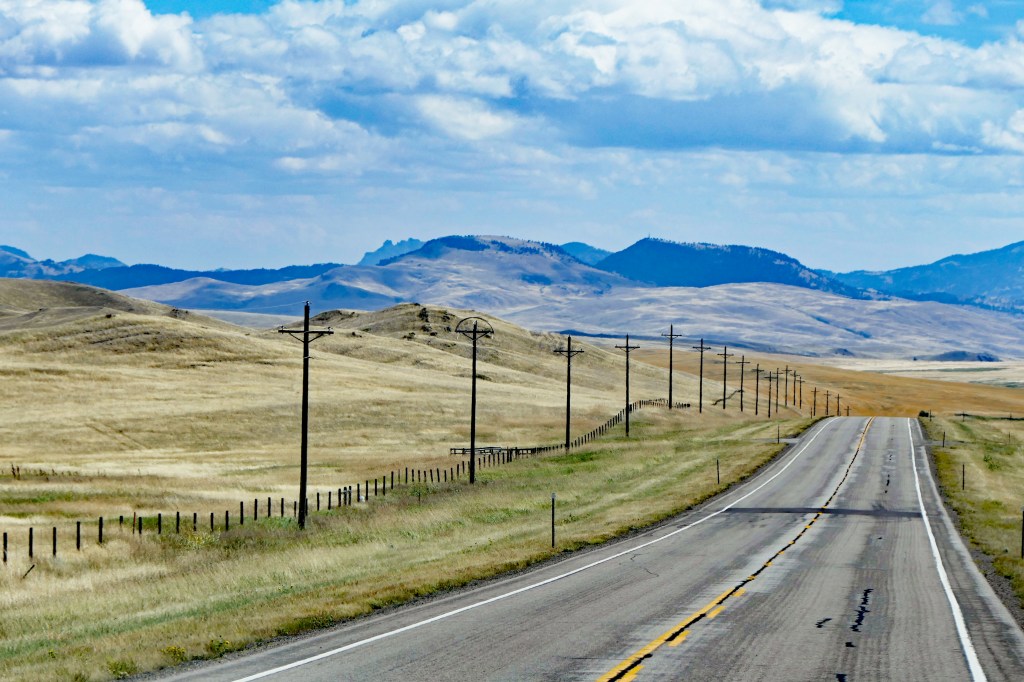
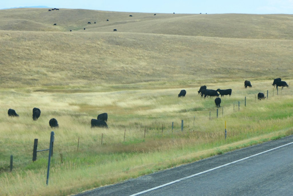
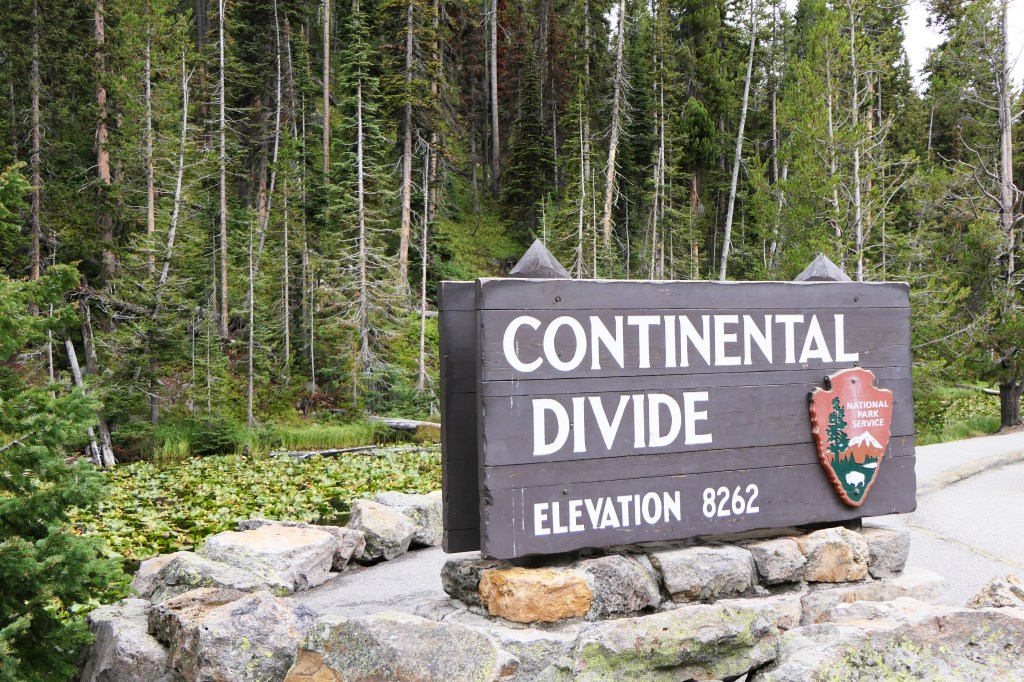
We traveled from Glacier NP through Montana first to West Yellowstone, and then into the park for a few days.
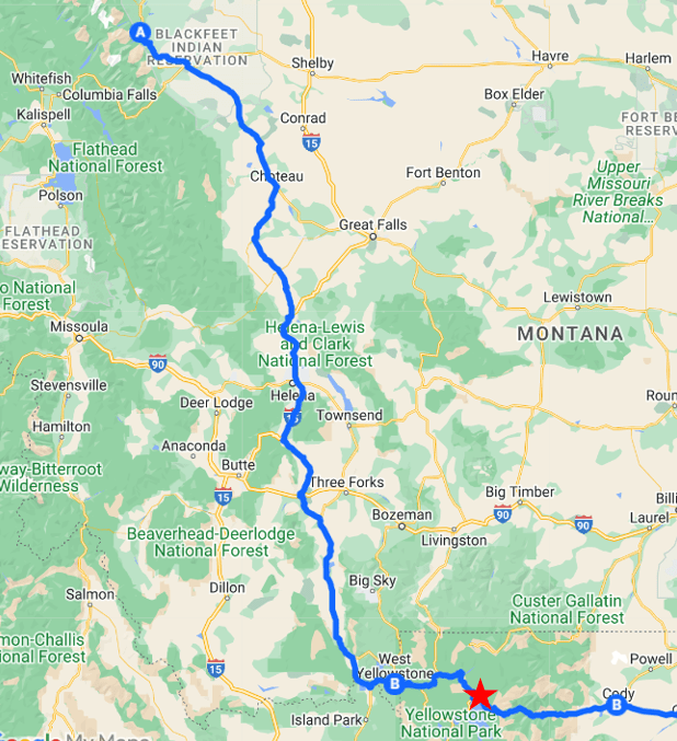
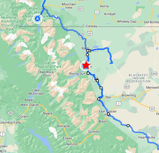
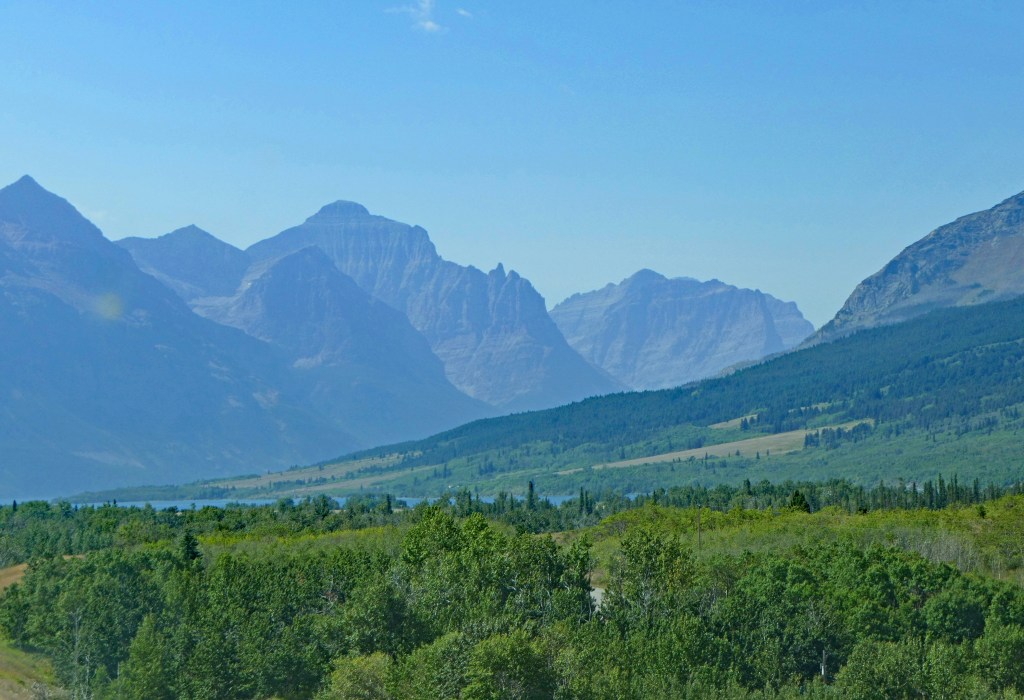
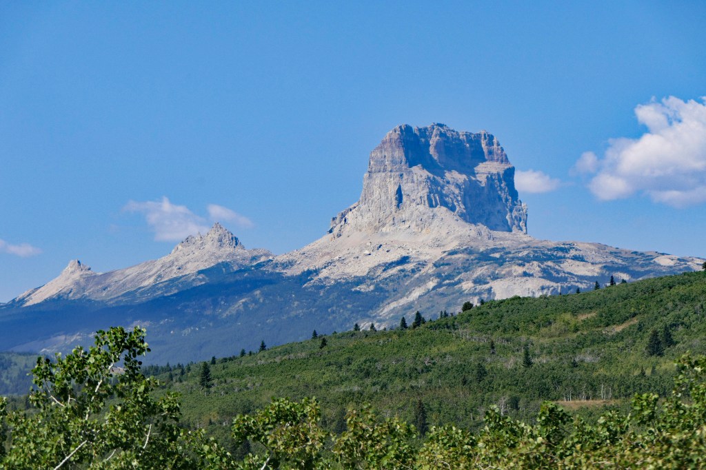
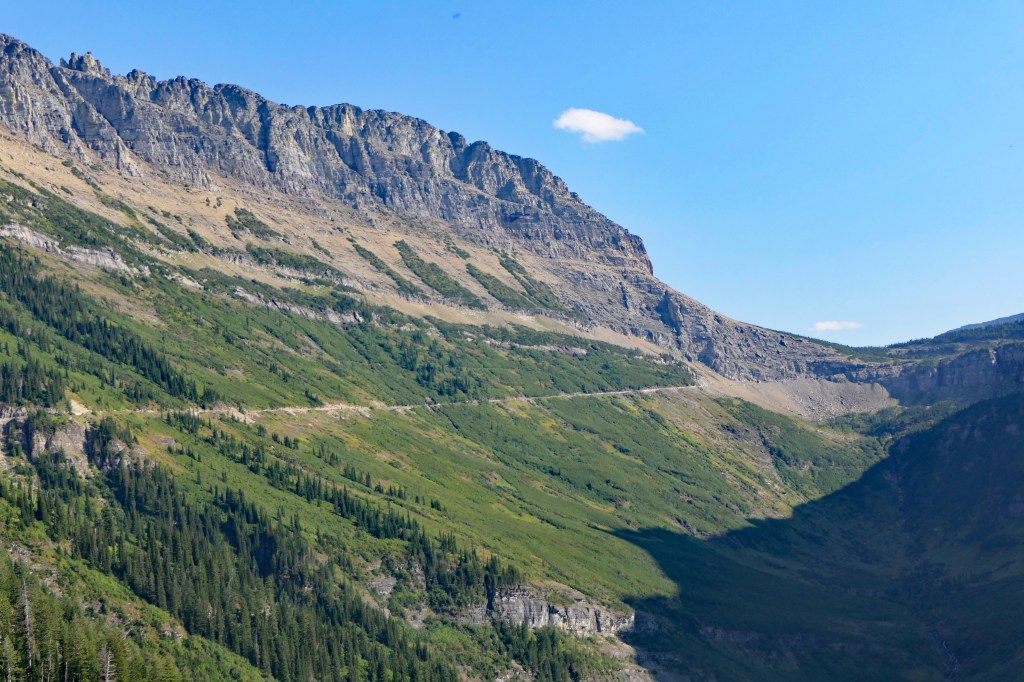
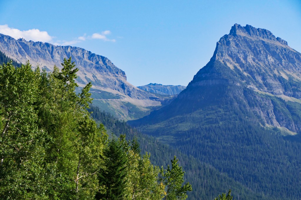
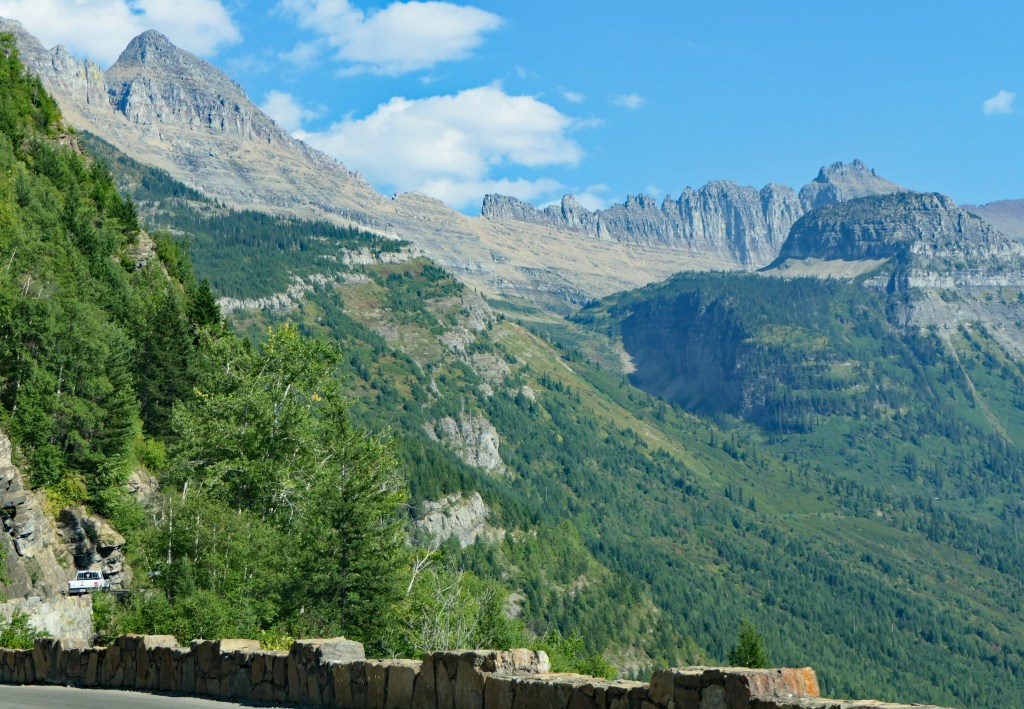
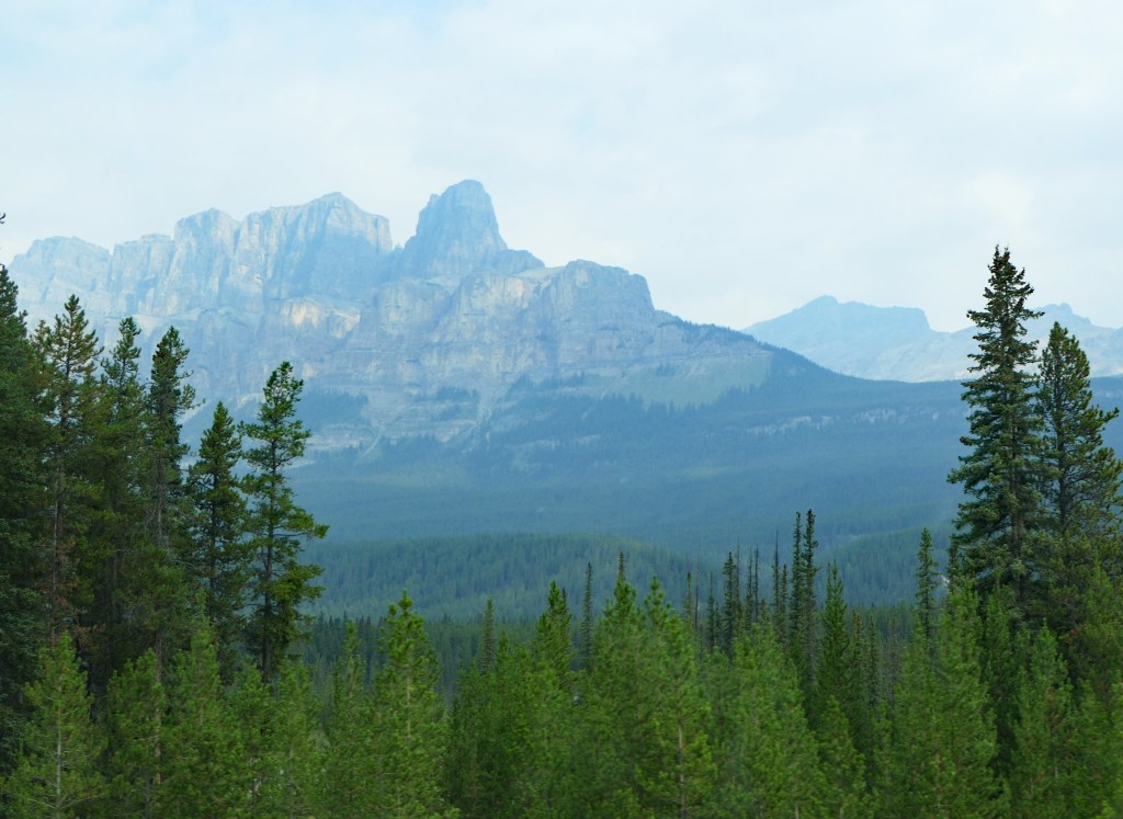
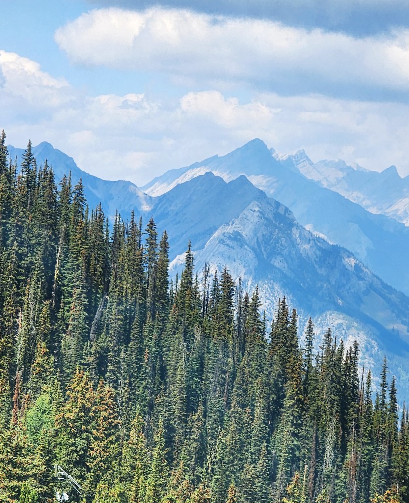
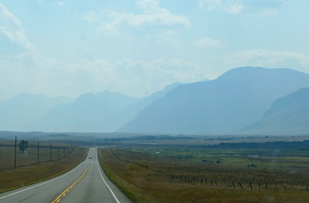
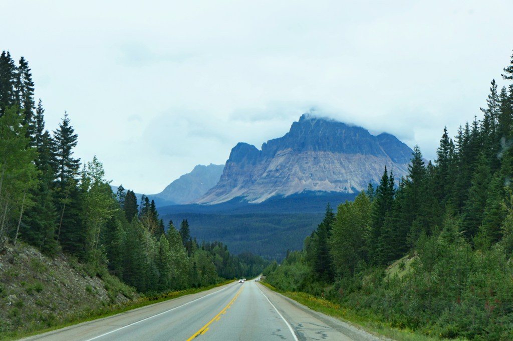
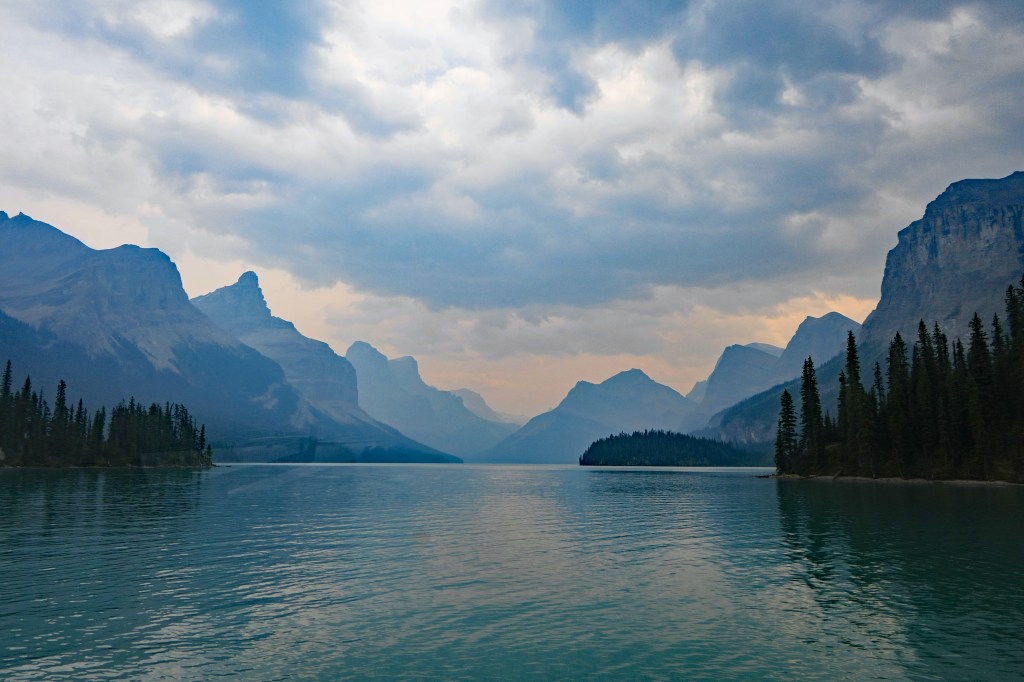
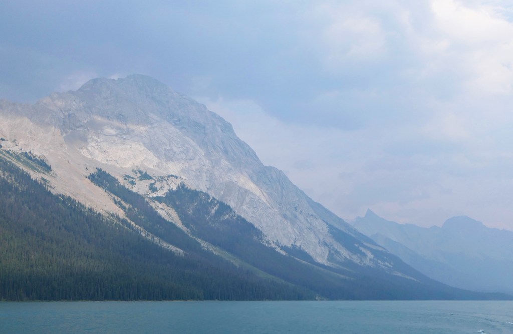
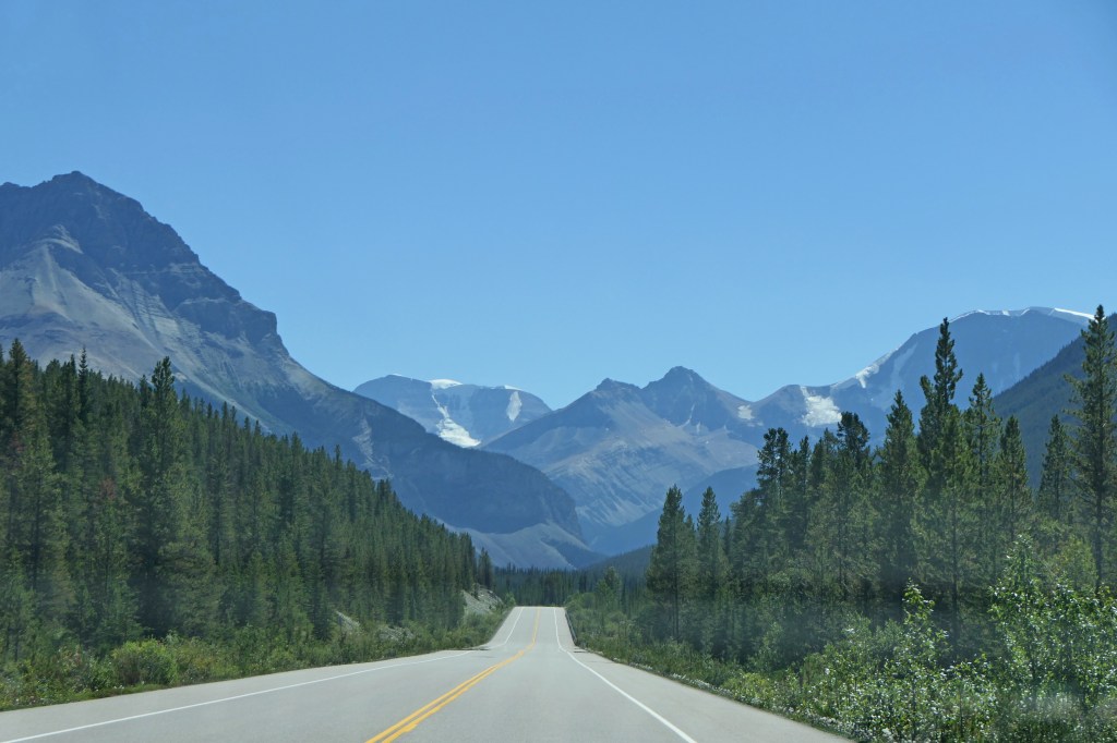
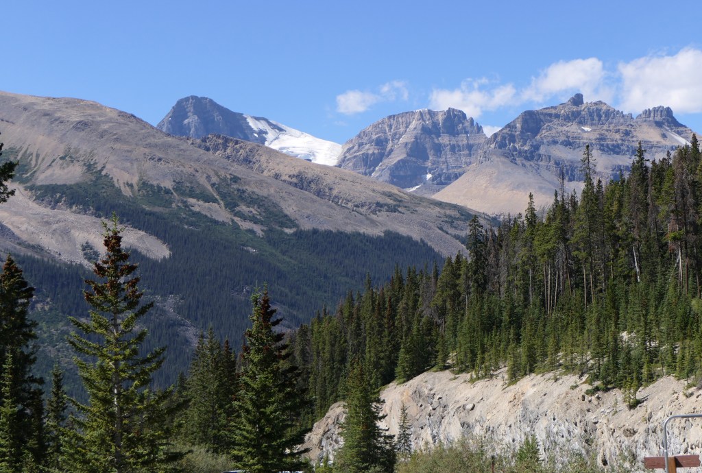
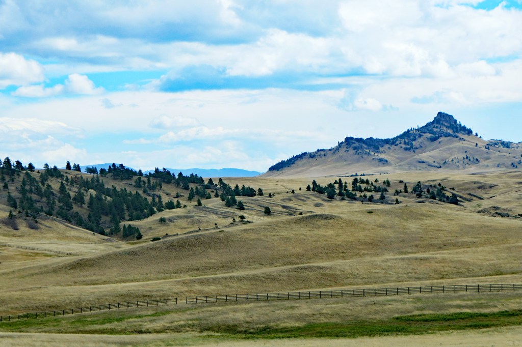
The drive highlighted the contrast between the Rocky Mountains and the Great Plains.
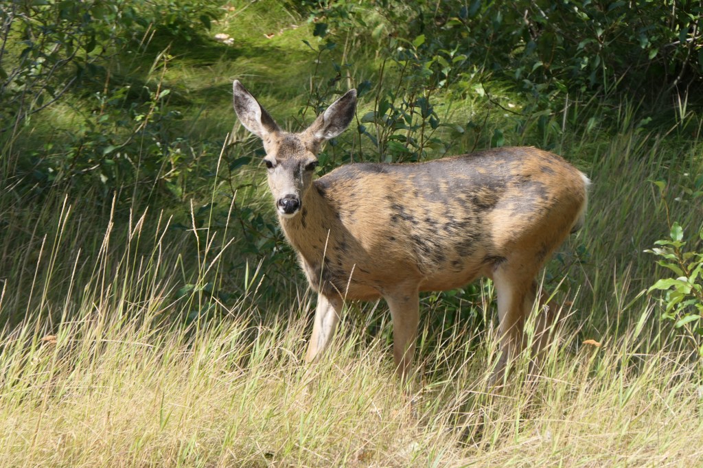
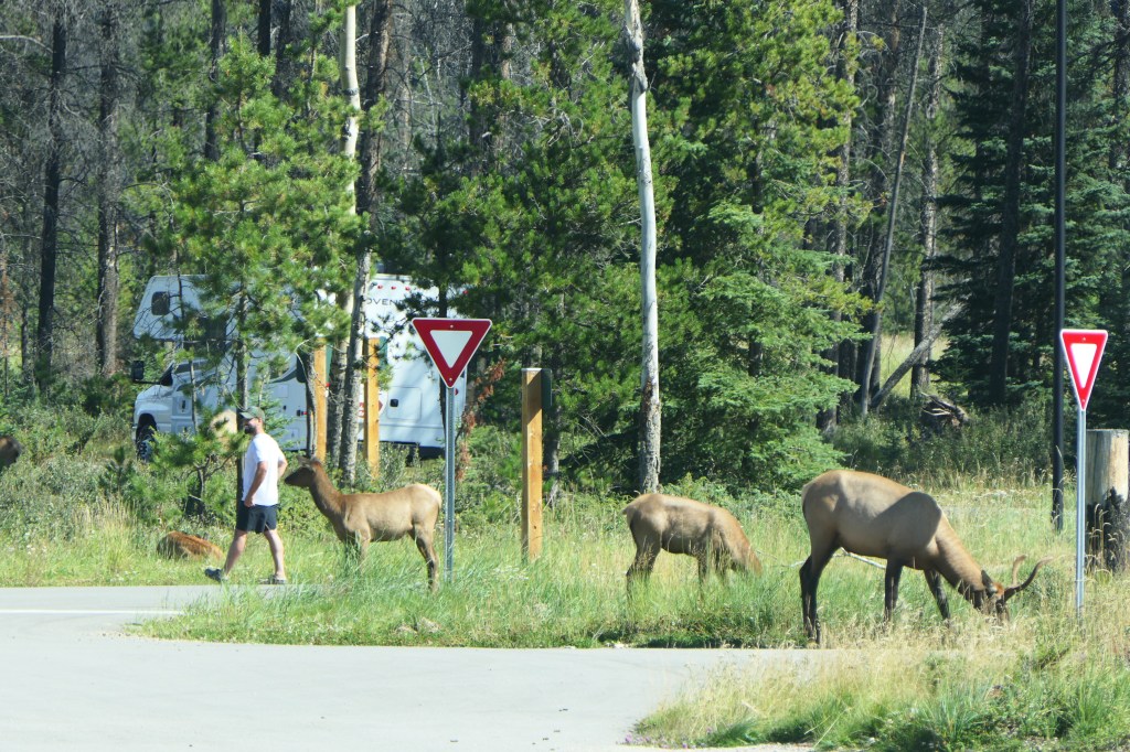
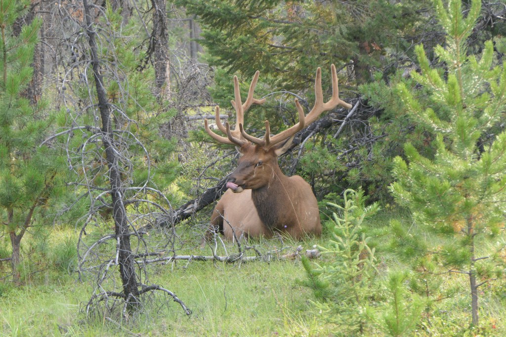
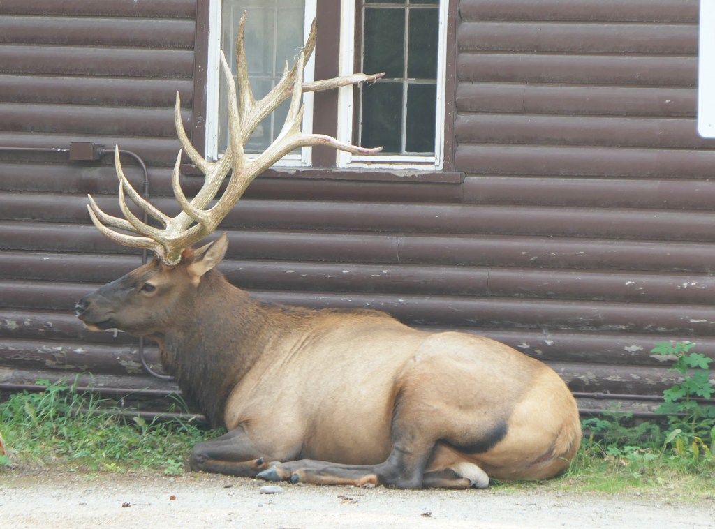
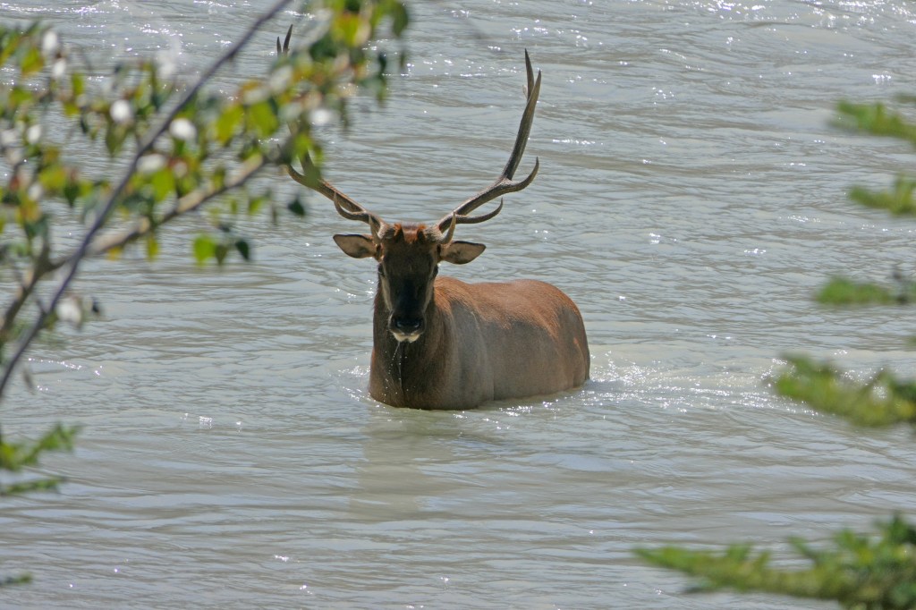
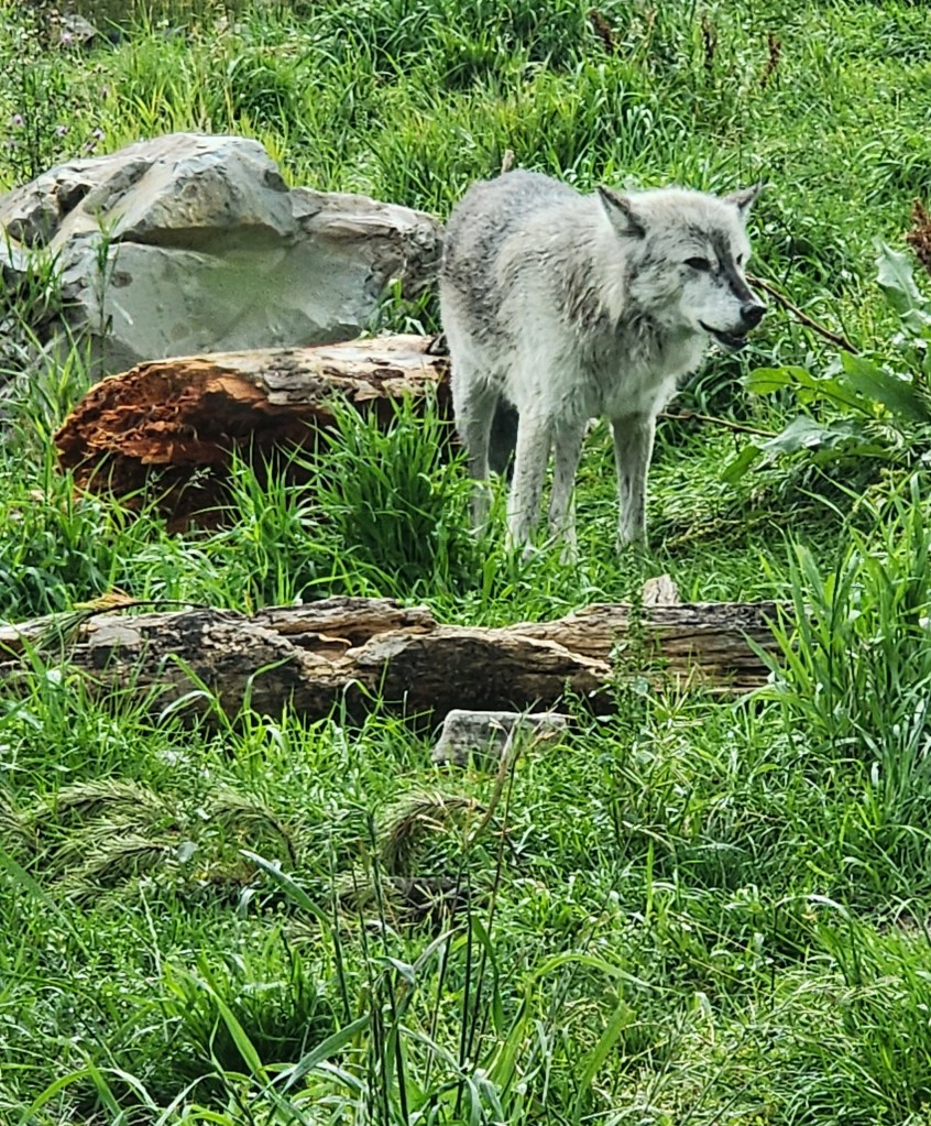
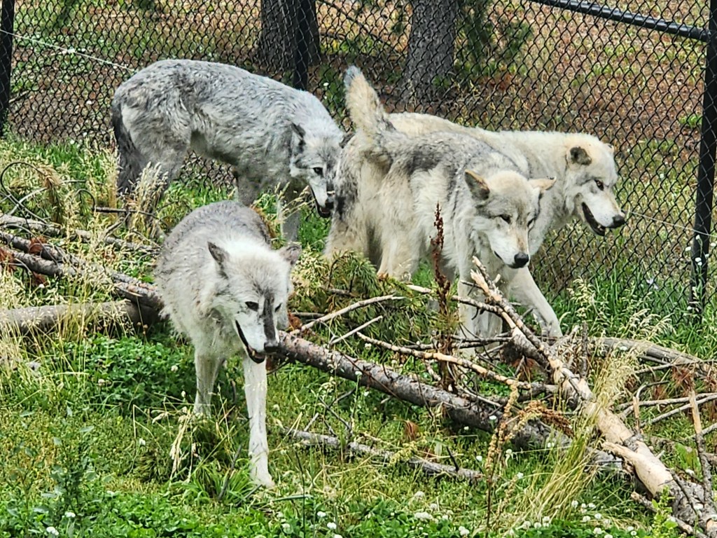
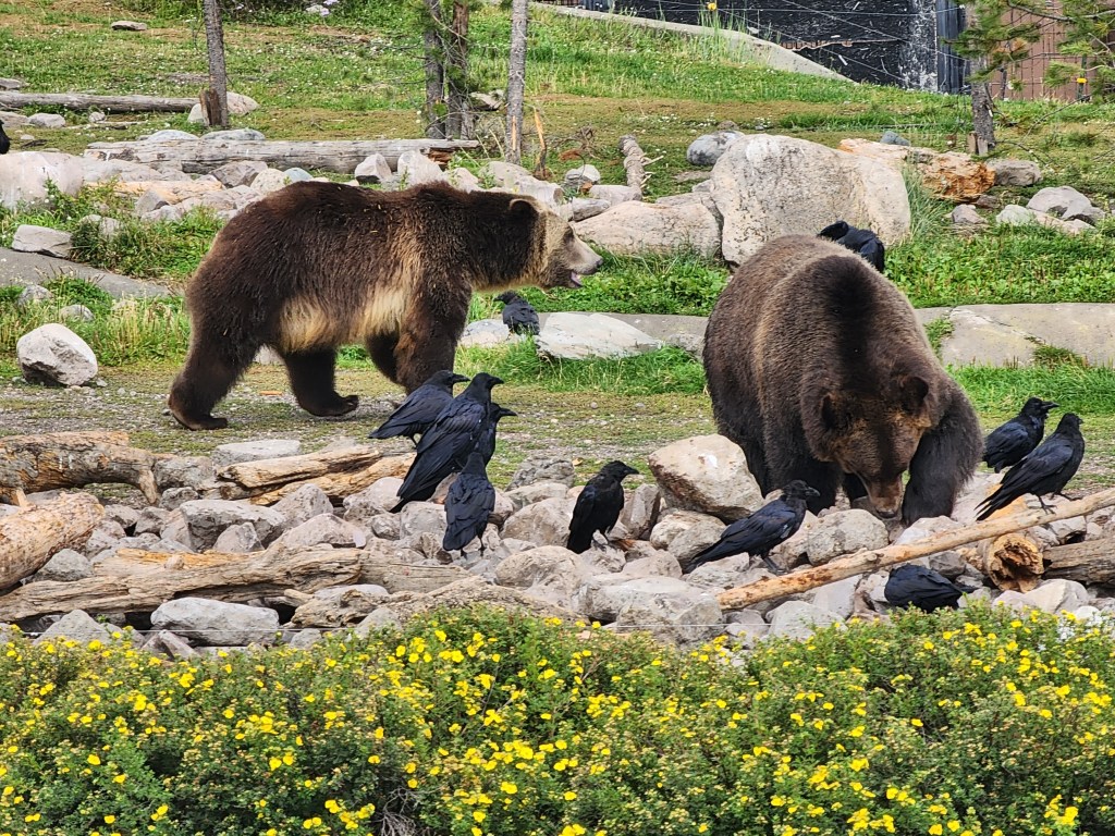
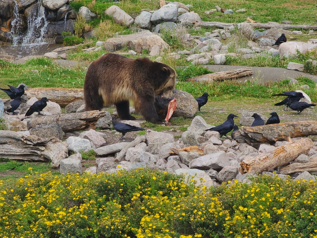
In West Yellowstone there is a very cool not-for-profit wildlife park that is home to a number of different animals from the area that are no longer able to survive in the wild, in particular grizzlies and wolves. Seventy years after being exterminated from the park and being listed as an endangered species, wolves were reintroduced in 1995 after much controversy, when biologists reached the conclusion that the elk population explosion was due primarily to their absence. Currently there are 10 wolf packs with at least 108 individuals.


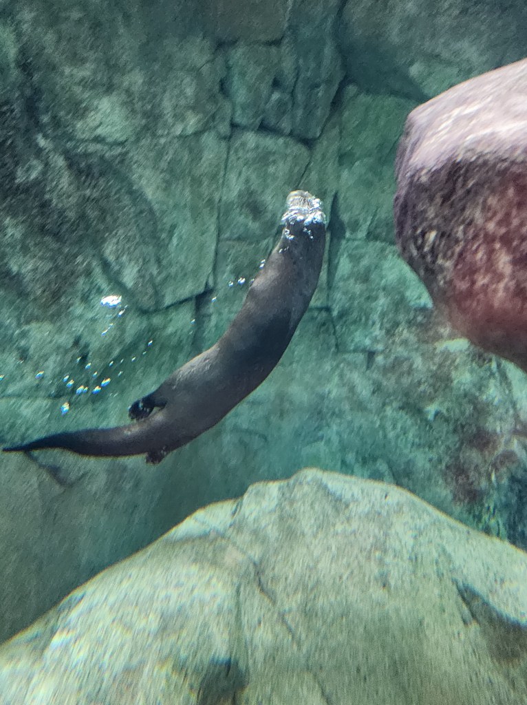
One of the river otters.
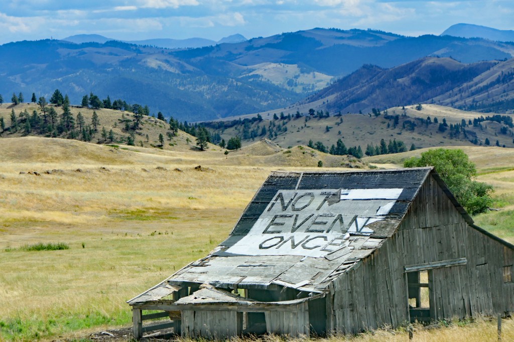
The night before we entered the park we grabbed dinner at a local “saloon.” After a couple of drinks, Christian started talking to the locals.
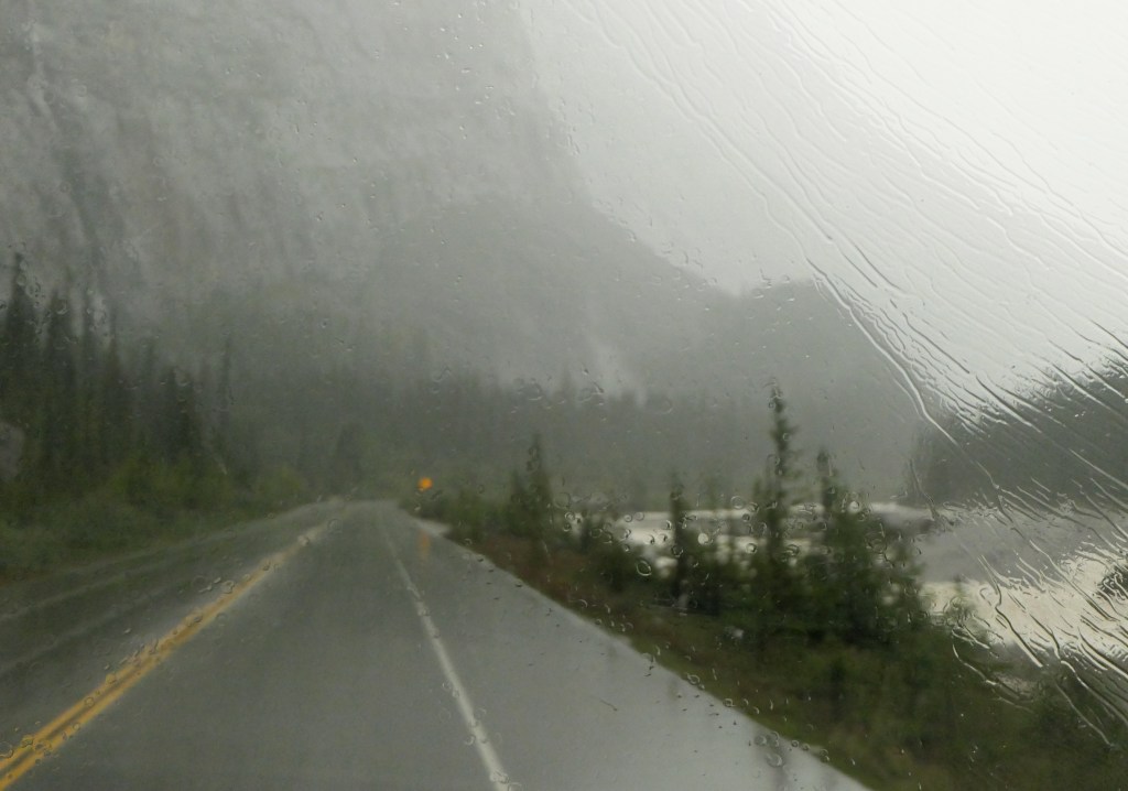
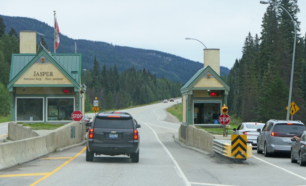
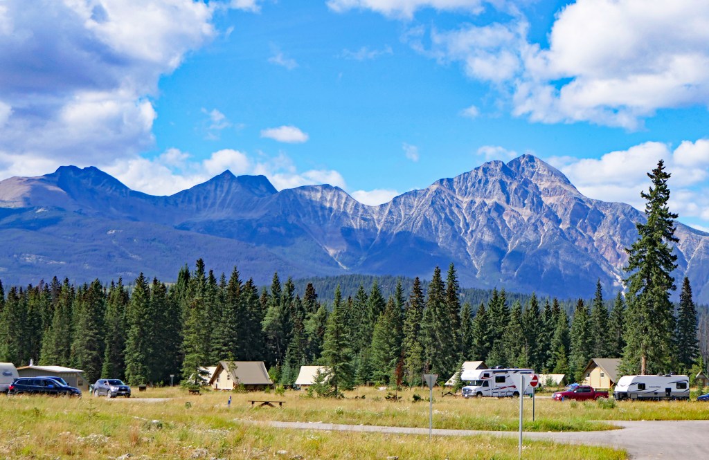
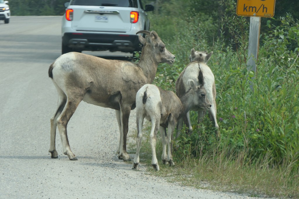
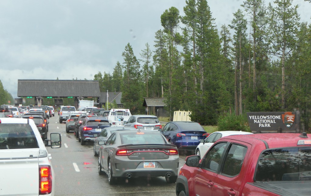
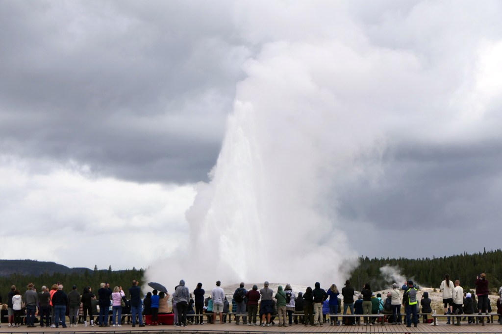
Even in the rain there was a huge crowd entering the park.
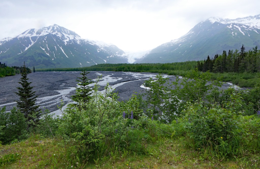
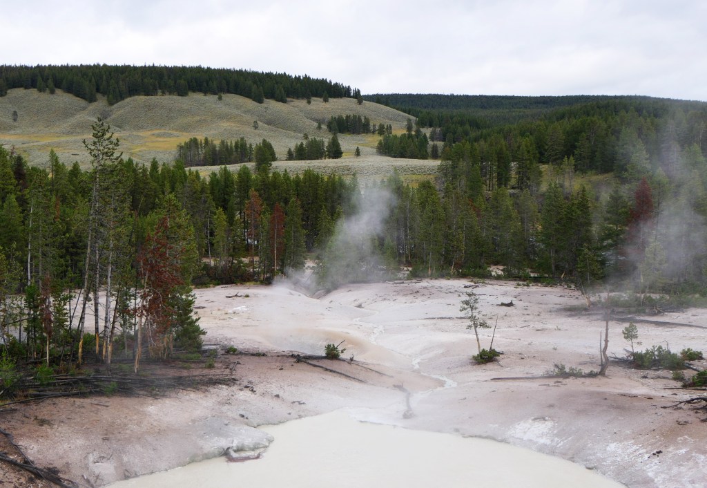
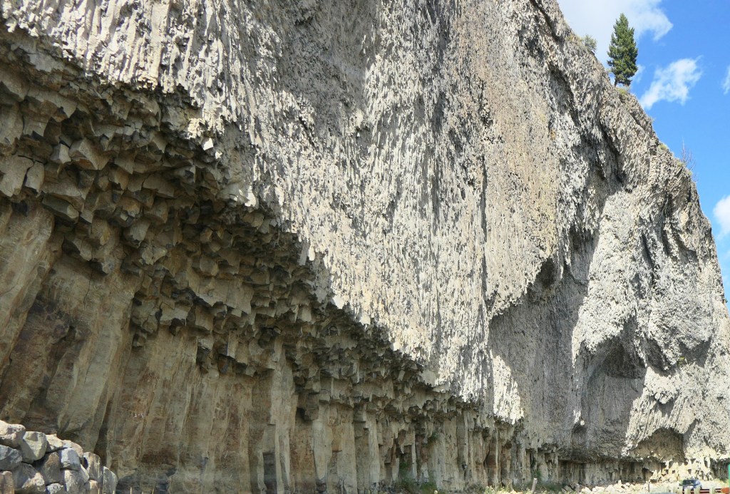
Yellowstone was the world’s first national park, established in 1872 and is approximately 50 miles by 60 miles. The molten magma that lies a short distance below the caldera of the collapsed super volcano that has been erupting for 16 million years has created the world’s largest concentration of thermal features. The most recent eruption was 64,000 years ago, and USGS lists it as having a high threat potential to erupt again but no one can predict when that may be. The relatively small (compared to historic) eruption would be the most devastating natural catastrophe in human history. Yikes!
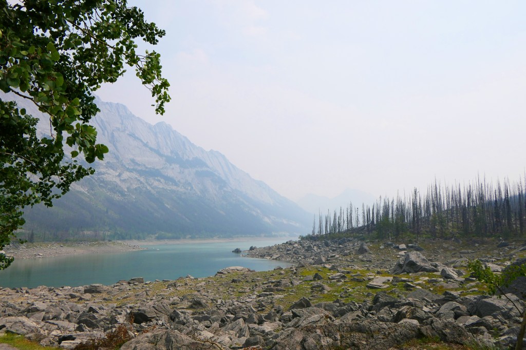
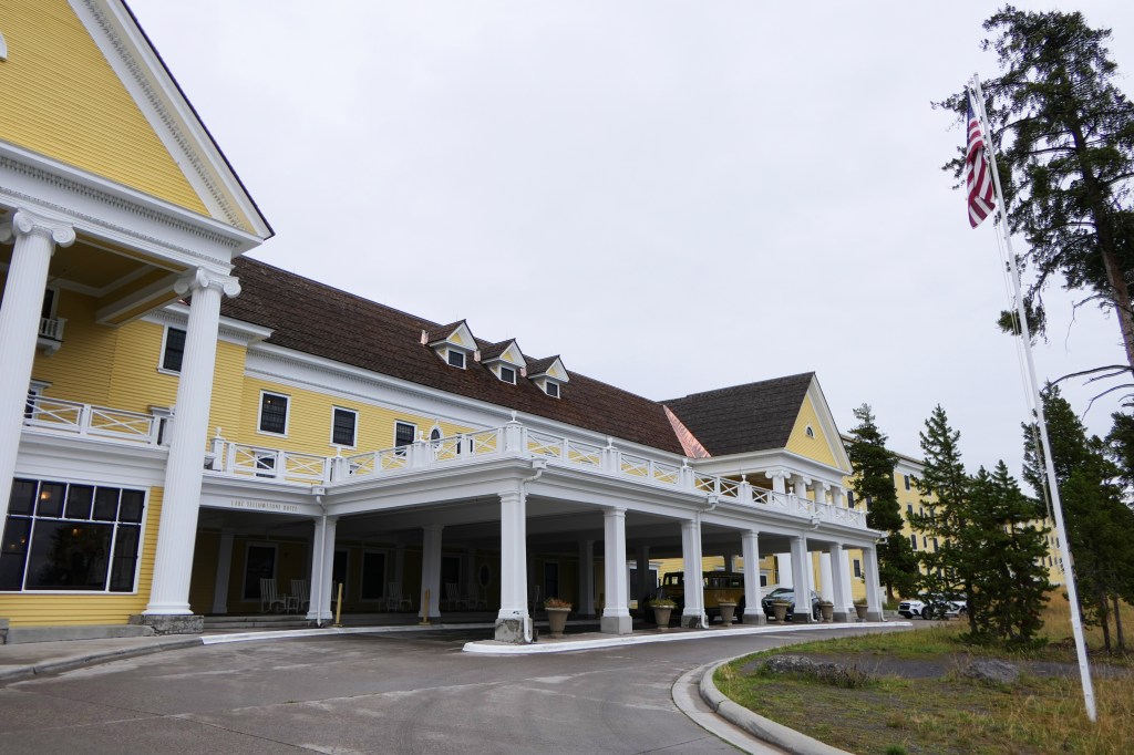
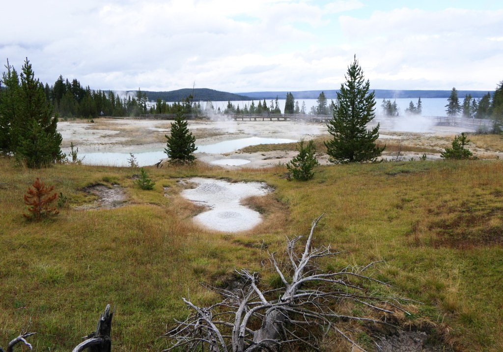
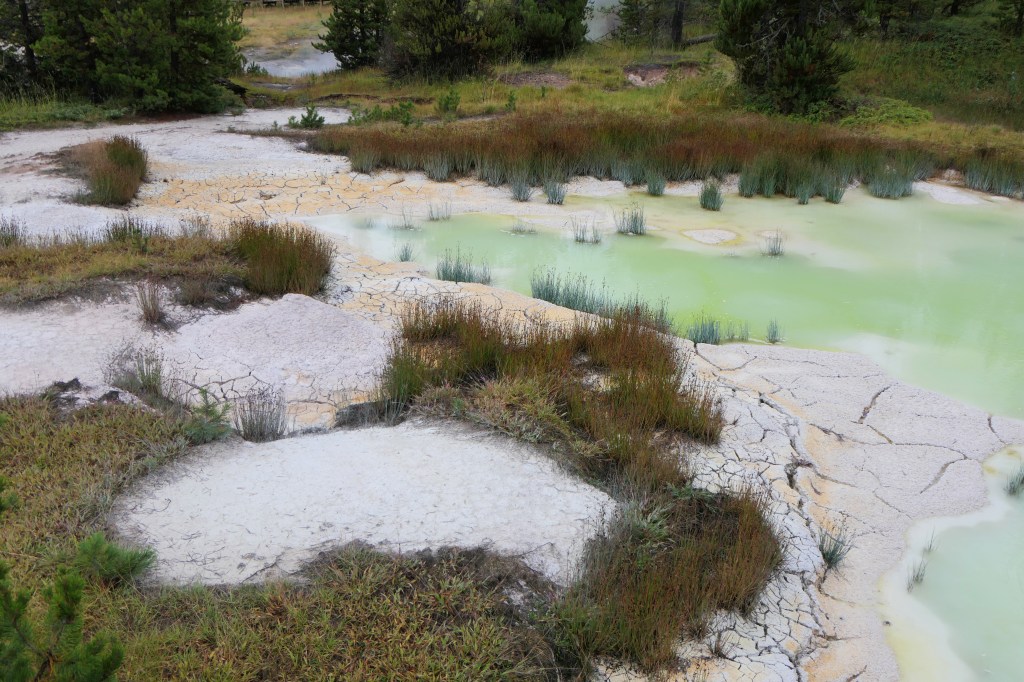
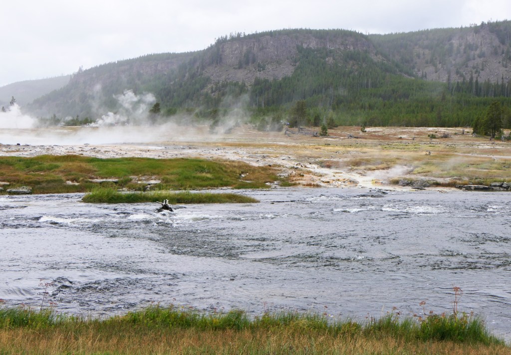
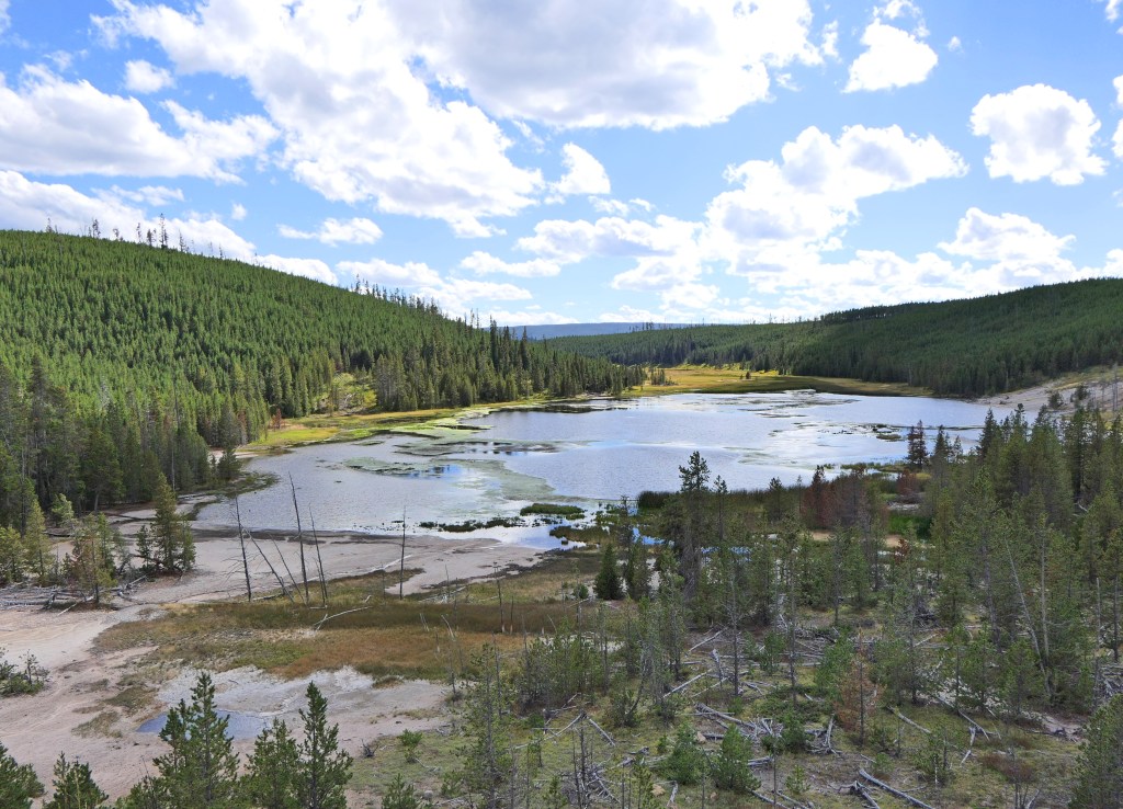
We went from Fishing Bridge (which is now fish watching bridge, no fishing is allowed because the introduction of lake trout has devastated the native cutthroat trout population) down by Yellowstone Lake and the Lake Yellowstone Hotel to the West Thumb Geyser Basin.
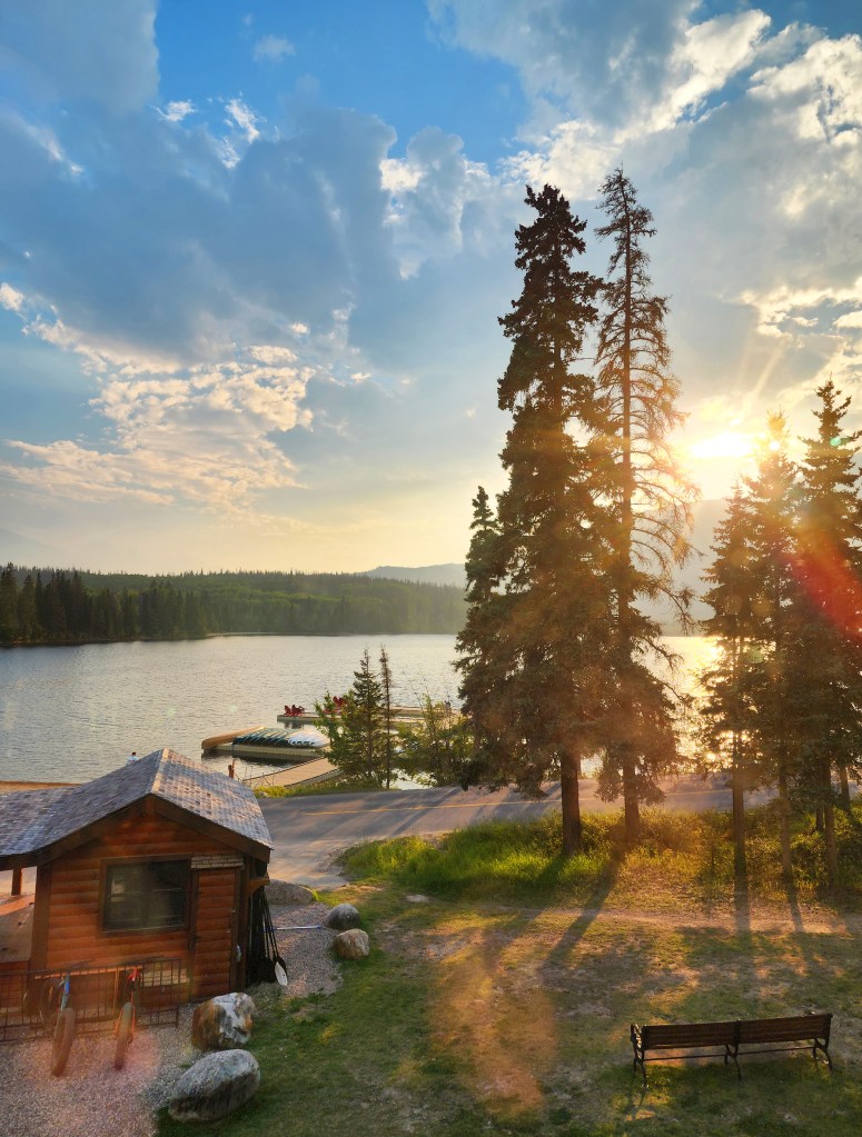
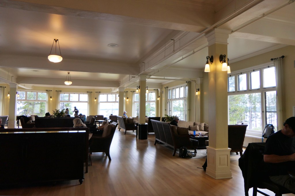
The hotel opened in 1891 and is designated a National Historic Landmark. There are beautiful views of the lake from it’s public spaces. We had a very nice dinner there.

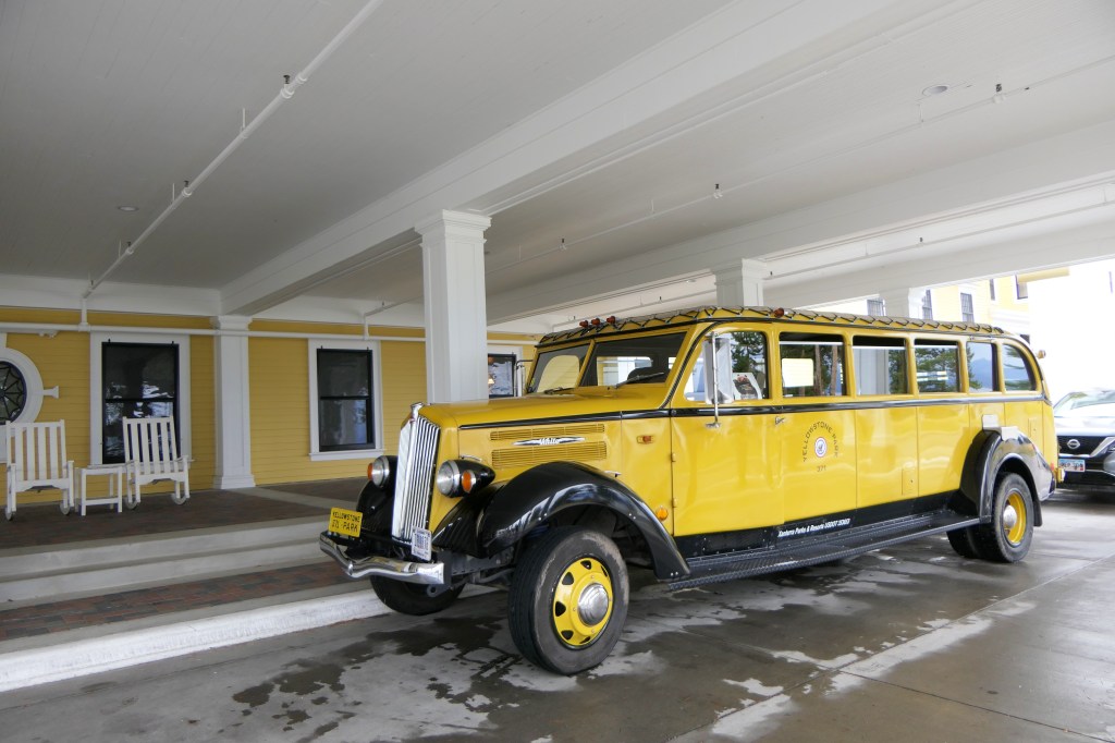
The Yellowstone yellow “buses” brought tourists through the park beginning in the 1920s, with more than 400 of them operating at one time. A few of the restored buses are still in operation.
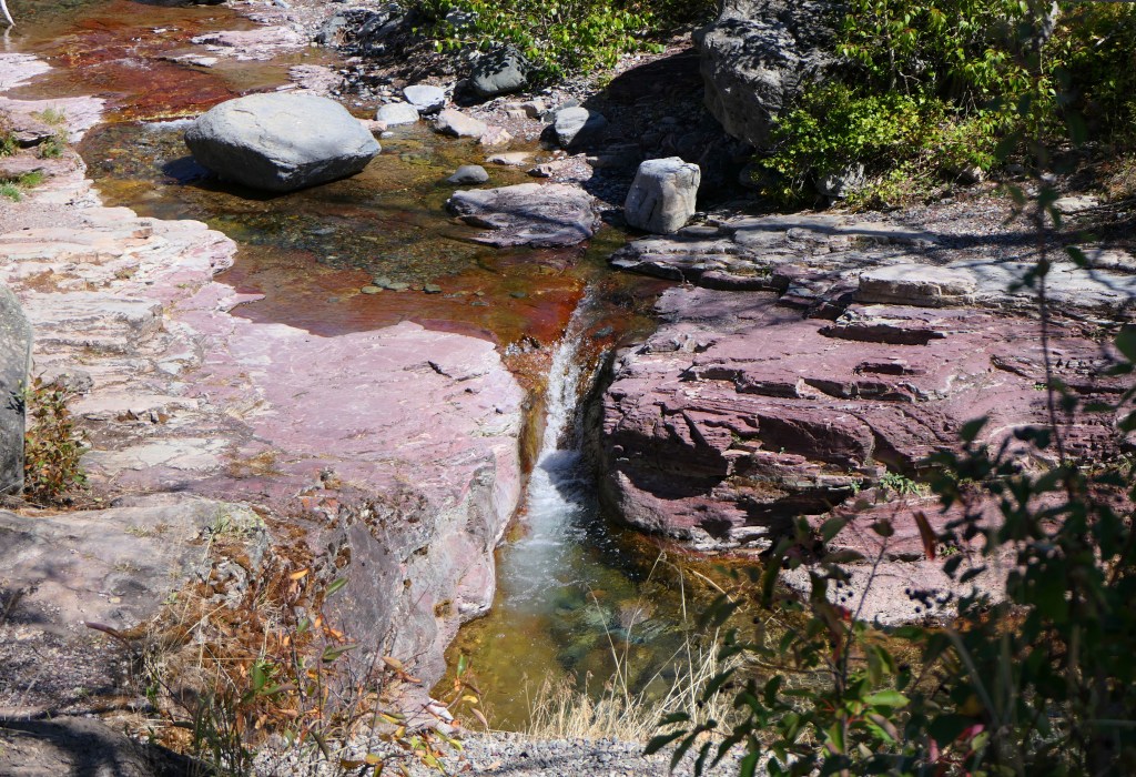
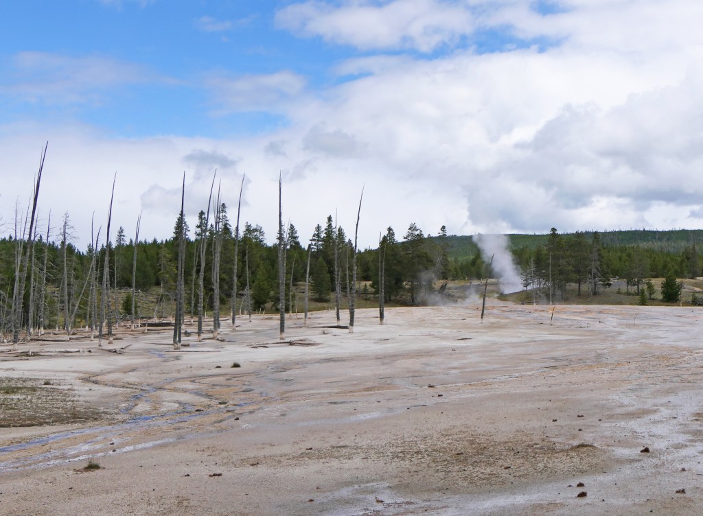
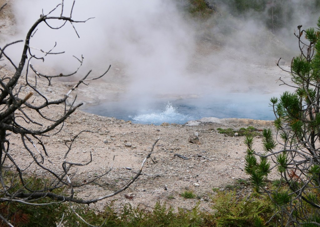
The special thing about West Thumb is the amazing proximity of the thermal features to the lake shore, and there are some within the lake itself. There are four types of thermal features in Yellowstone, geysers (like Old Faithful), mudpots, fumaroles, and hot springs. The last two are abundant at West Thumb.


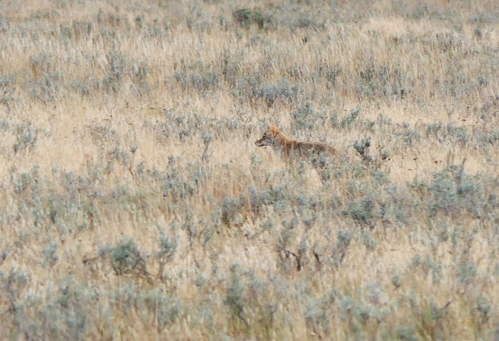
This coyote was hunting small mammals in Hayden Valley, right by where one of the wolf dens is located. I got to watch him catch something, leaping into the air to pounce but the camera wasn’t quick enough…
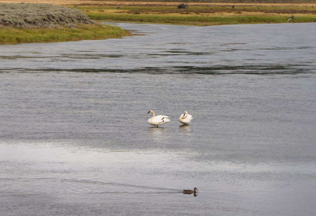
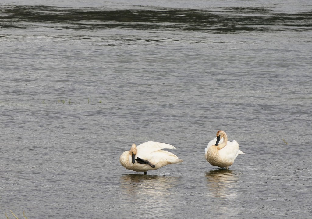
Trumpeter swans (a species of concern) on the Yellowstone River in Hayden Valley.
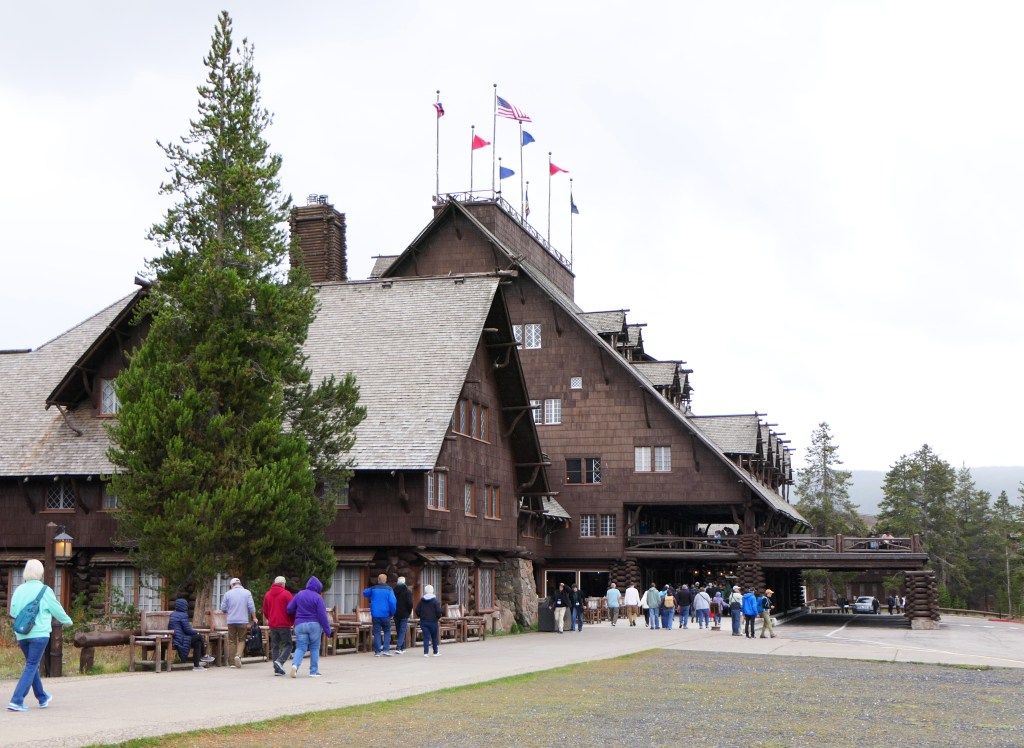
The next day we went by Old Faithful.
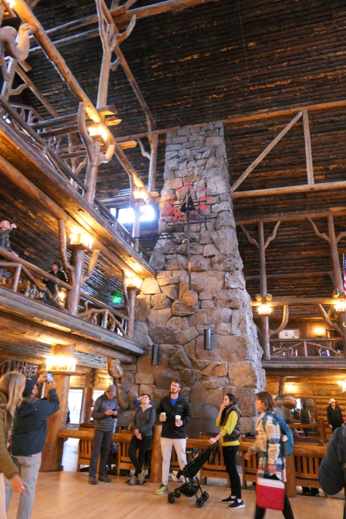
Old Faithful Inn is also registered on the National Register. It was constructed beginning in 1902, and is still a majestic space. The first photo is from early in the 1900’s, the second is one I took.
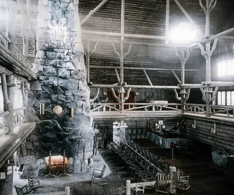
credit – NPS
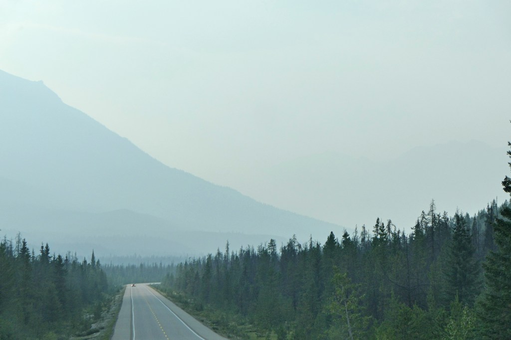
We continued up to Norris Basin, where there are lots of very stinky mudpots and thermal features draining to the Firehole River.


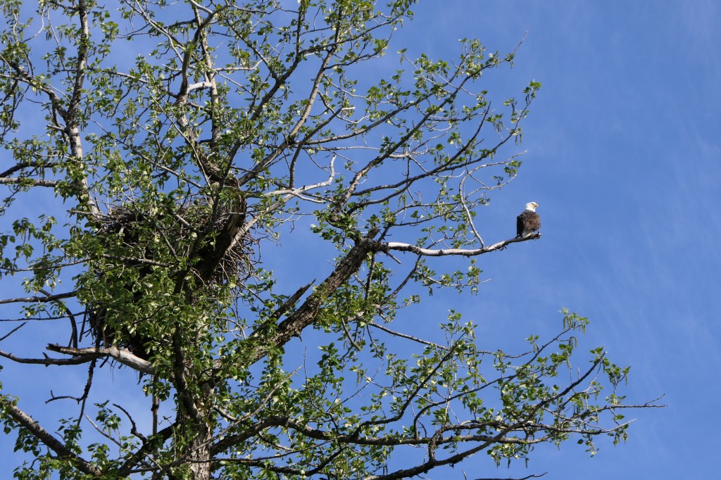
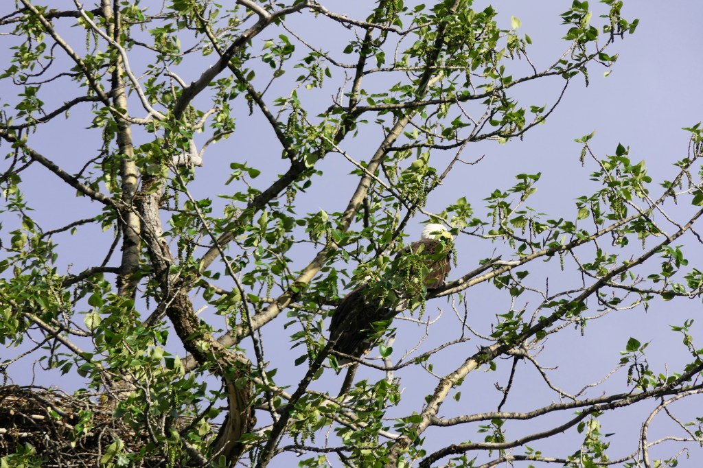
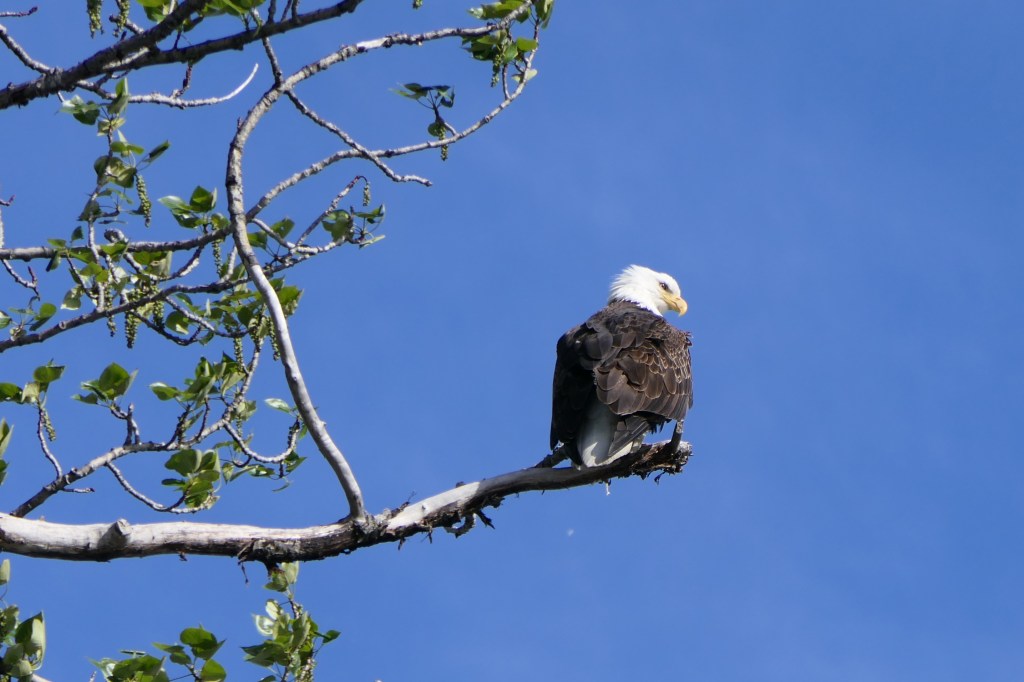
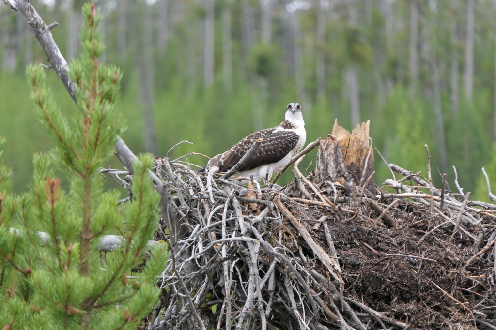
There is a small road that detours to Firehole Falls and an osprey nest.

We returned again through Hayden Valley with the late afternoon light.
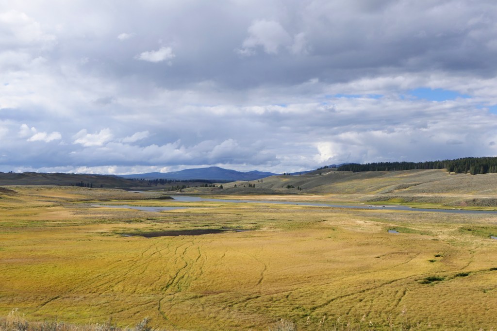
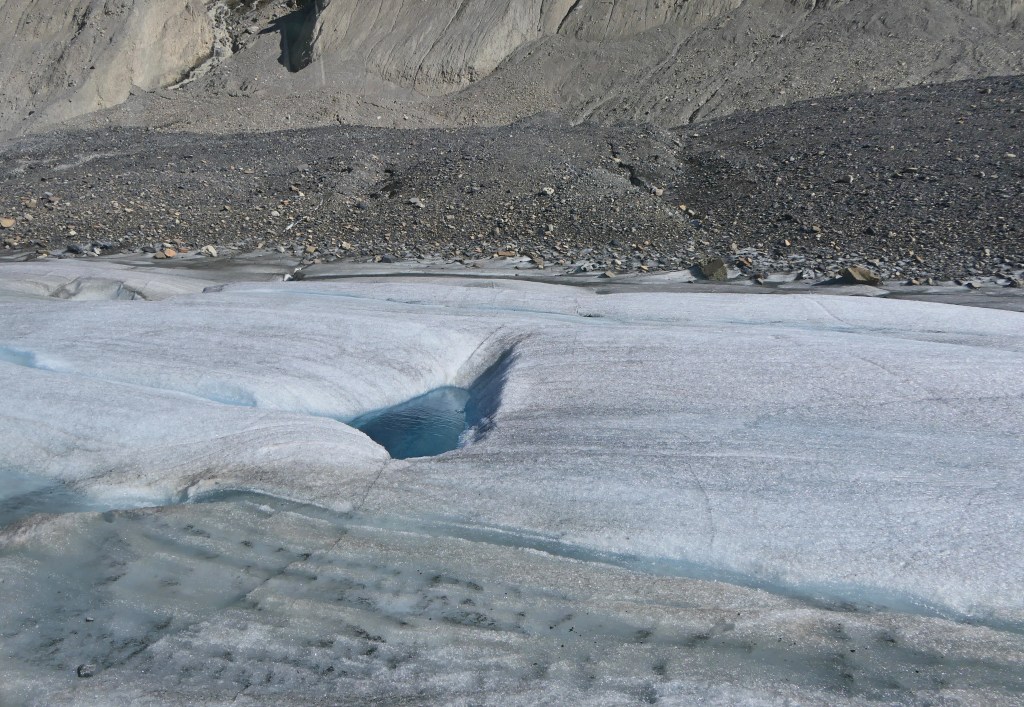
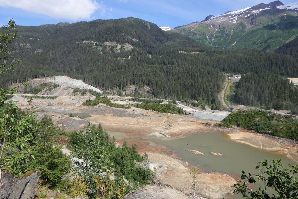
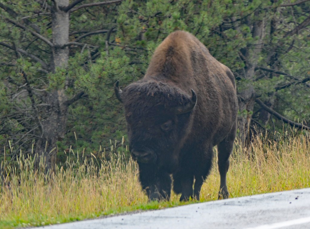
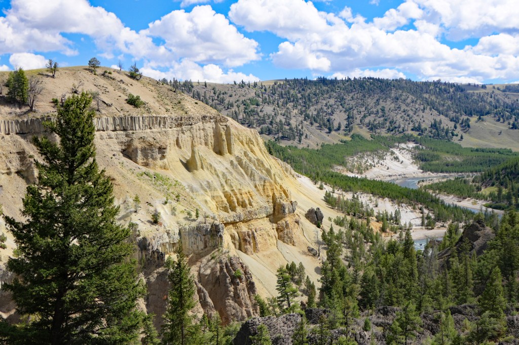
I was surprised that we didn’t see the herds of bison here in the valley that I have in the past, just a single or couple of individuals. When I asked a ranger she explained that the herds had moved up to the Lamar Valley after the huge flood in June 2022 because of changes in food availability (see below).
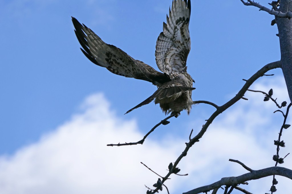
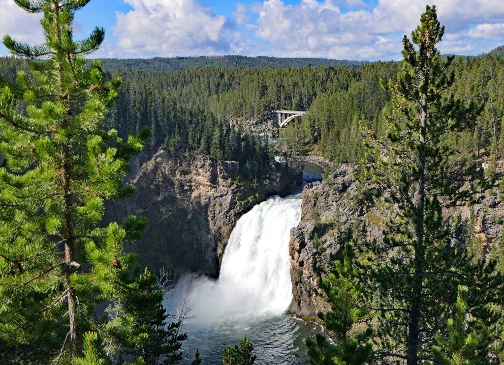
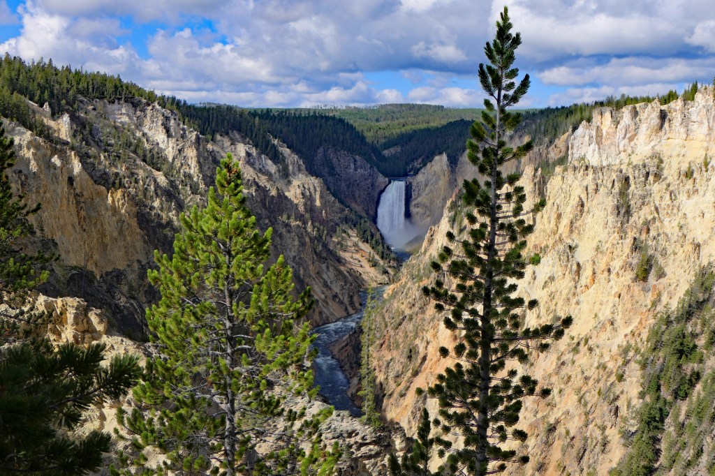
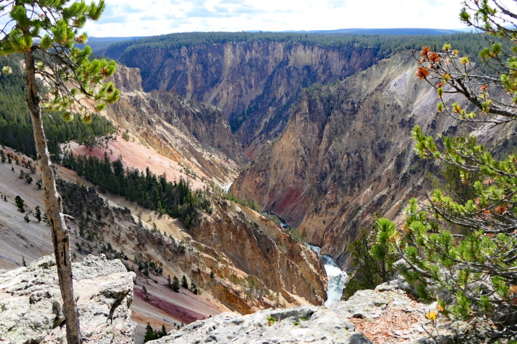
Our last day in the park we headed to the Grand Canyon of the Yellowstone. We passed a juvenile osprey taking flight.
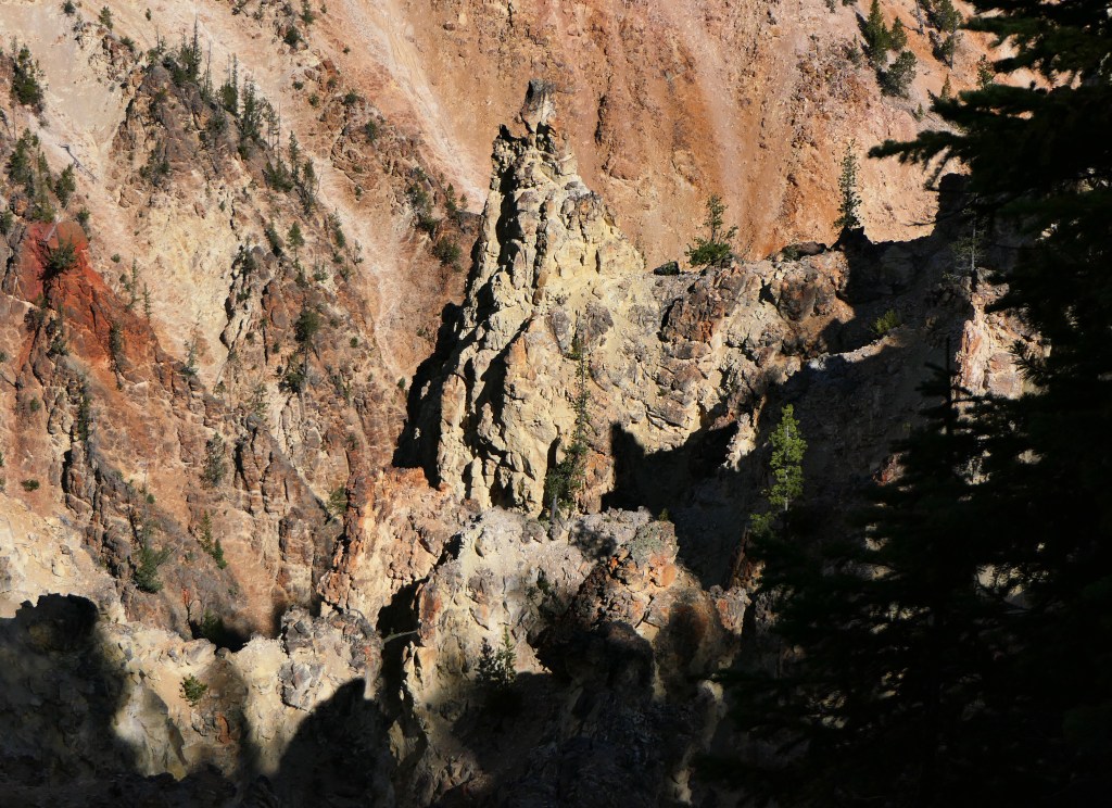
Next were the towers near Tower Falls along the Yellowstone River. They are remnants of volcanic lava flows.
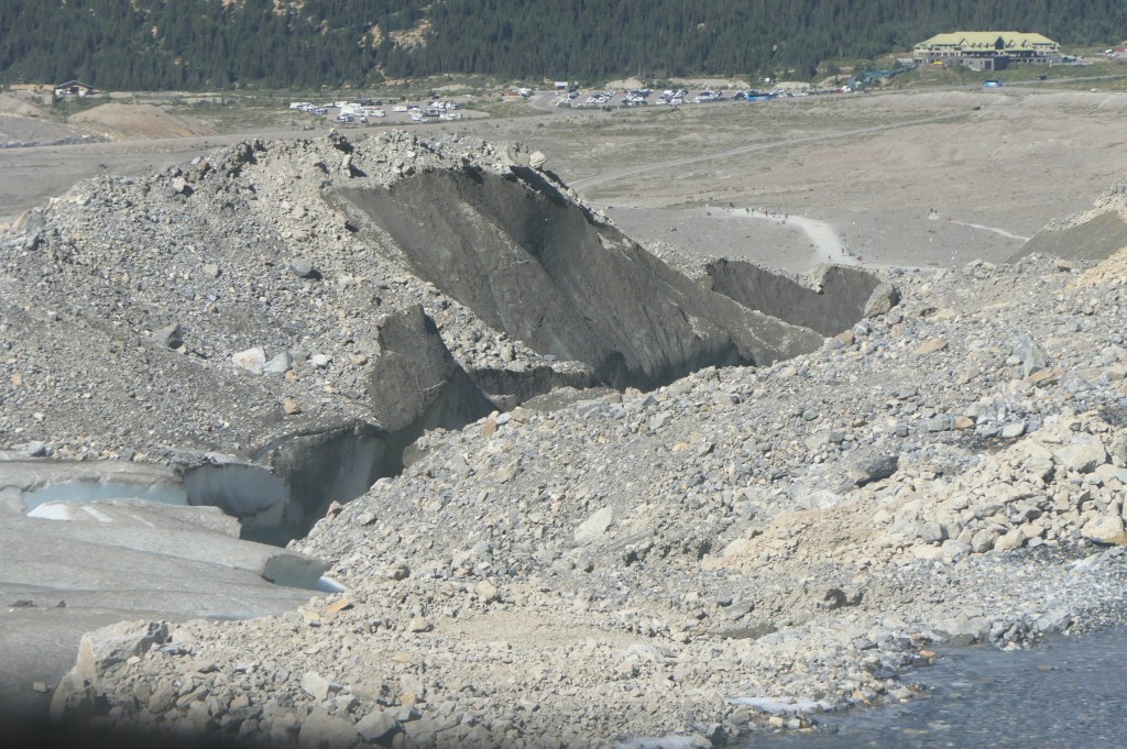
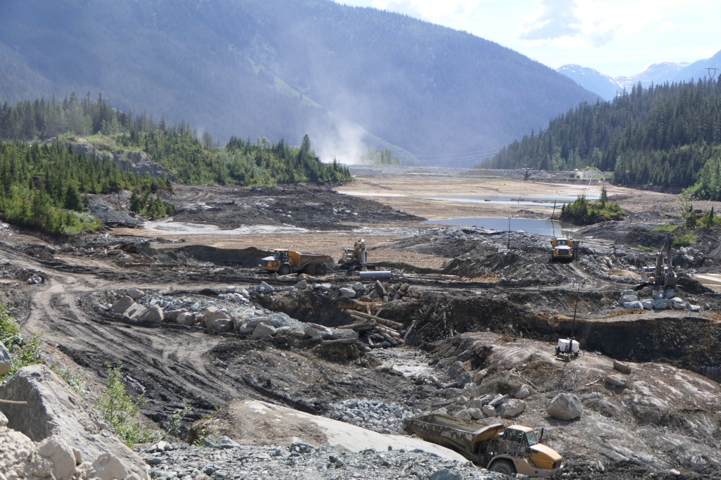
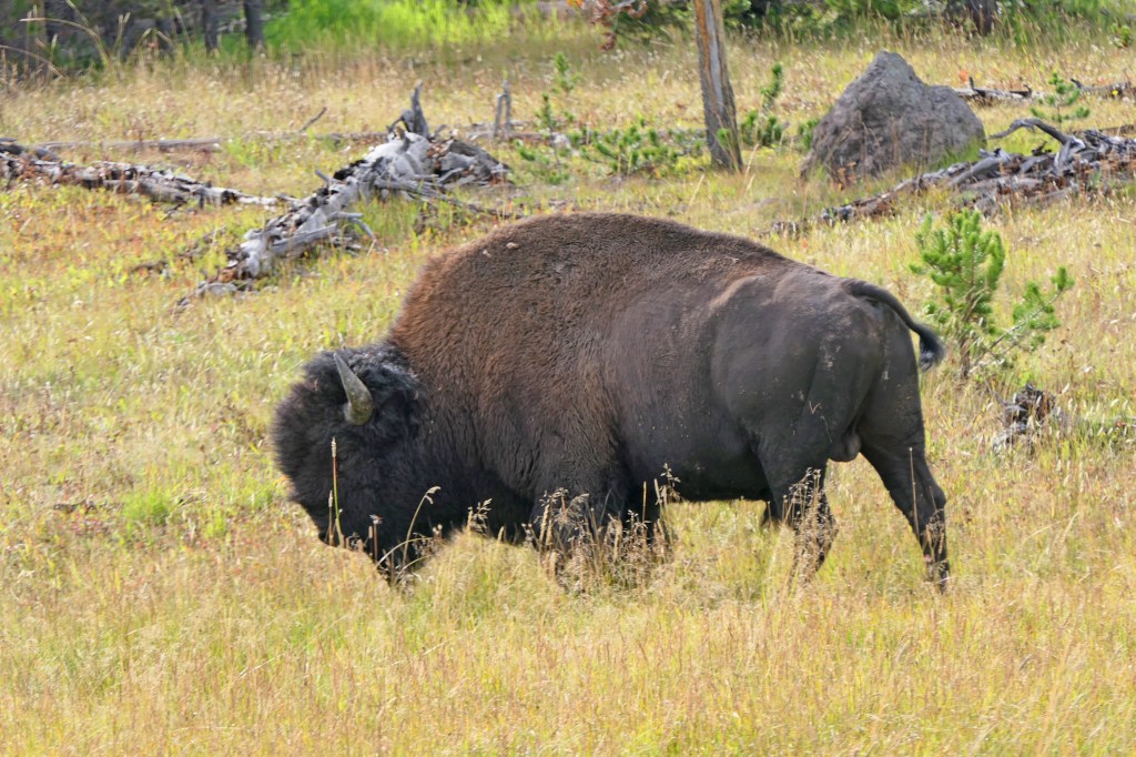
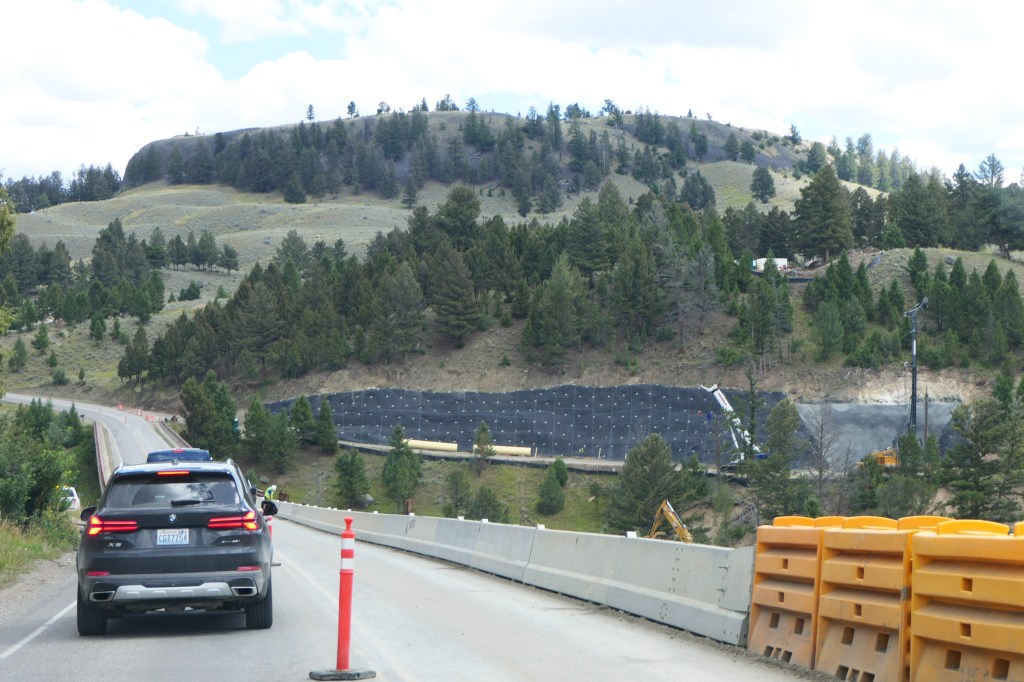
From there we headed up in search of the bison herd in Lamar Valley. On the way we passed one of the spots where the flood in June of 2022 took out the park road. Within a day of the flood there was a $10 M appropriation committed for repairs to roads and infrastructure, and within a month services were restored enough for park employees to gain access to their homes and offices at Mammoth, however the Mammoth Hotel still has not reopened.
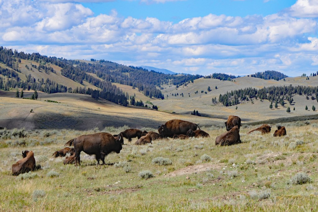
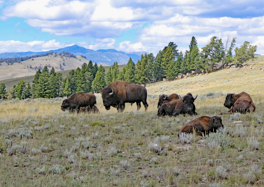
Found the bison herd in Lamar Valley!
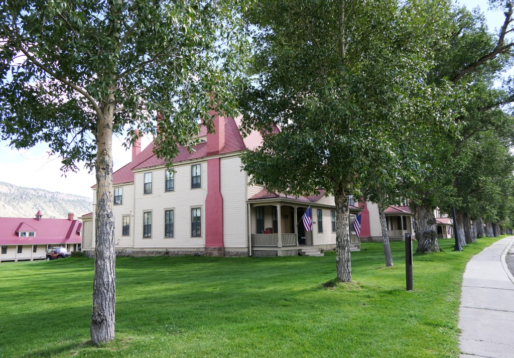
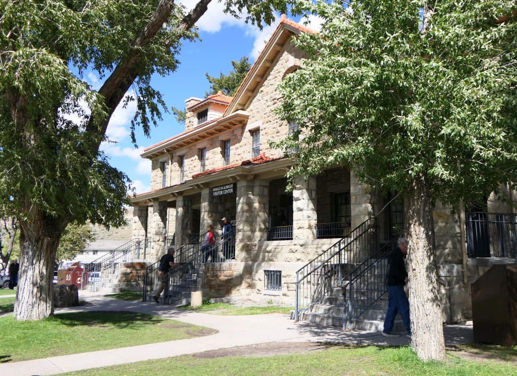
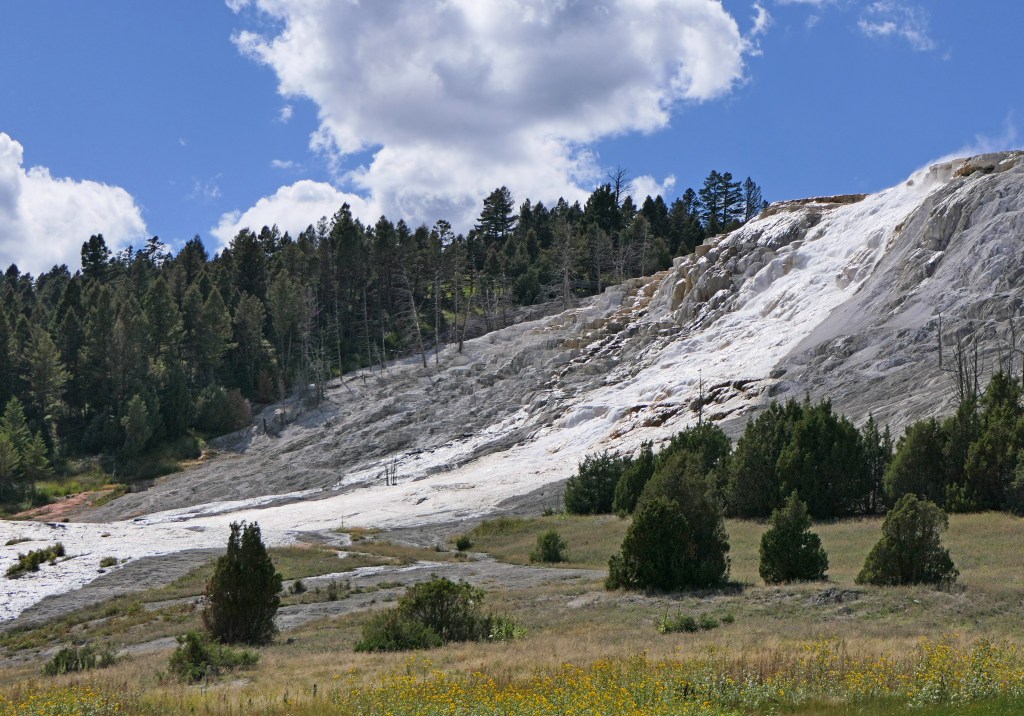
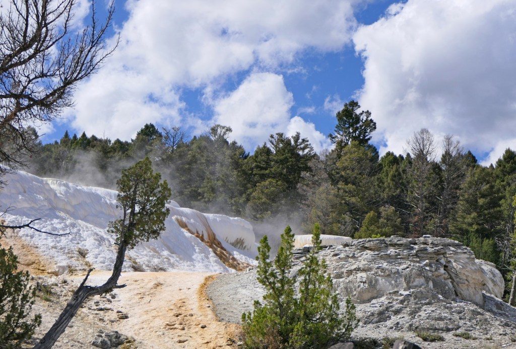
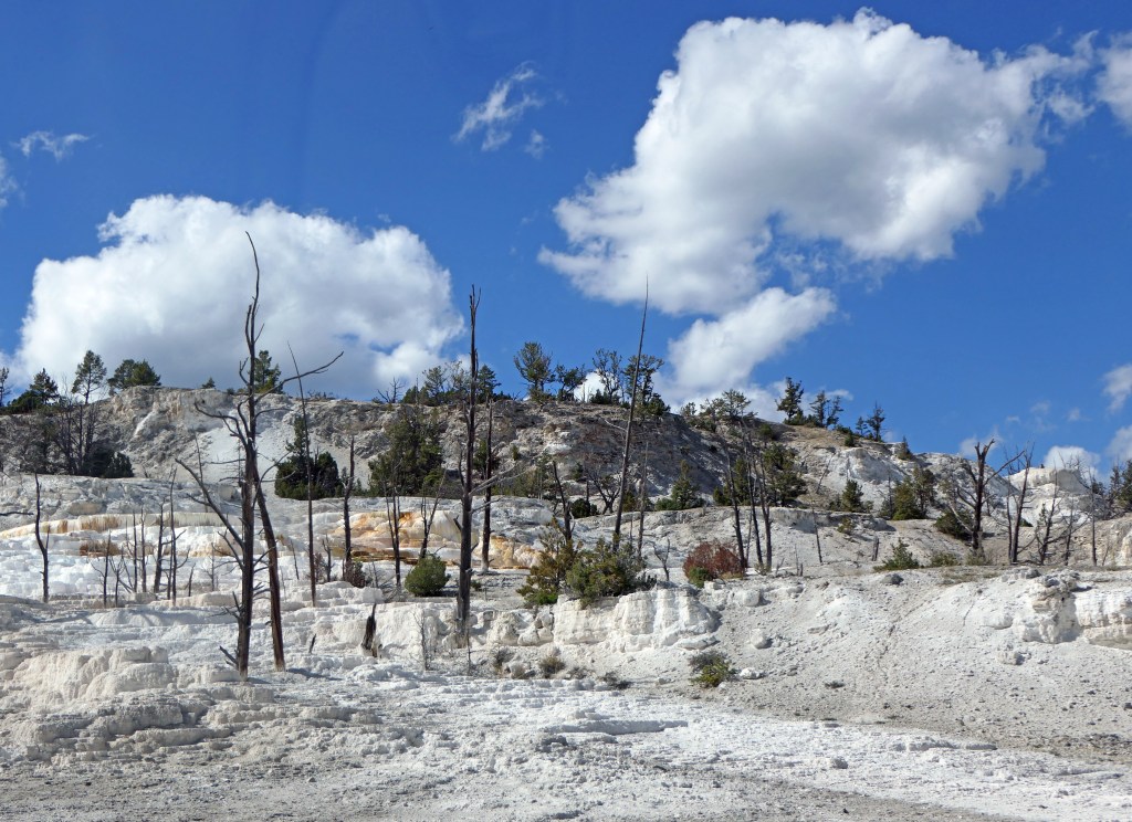
Last was Mammoth Hot Springs (a series of hot springs and travertine terraces) and Fort Yellowstone, which was home to the Army when it ran the park from 1886 to 1916 and is now the park headquarters.
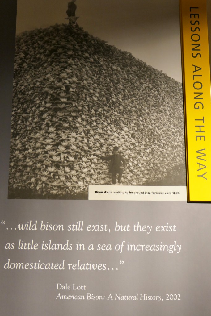
This picture in the visitors center of a mountain of bison skulls struck a cord with me. The bison were slaughtered to control the Native American people, because without the bison, their way of life and culture were forever altered.

Next post – Cody Wyoming, the rodeo, and the Black Hills of South Dakota.