More Glaciers and Wildlife

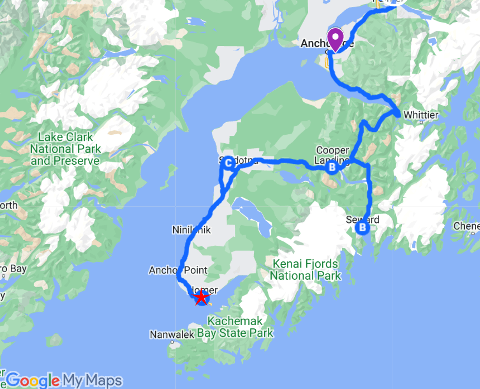
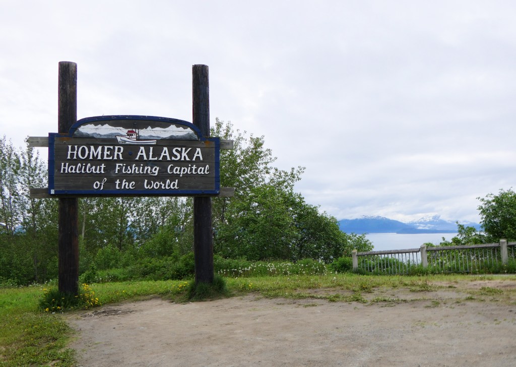
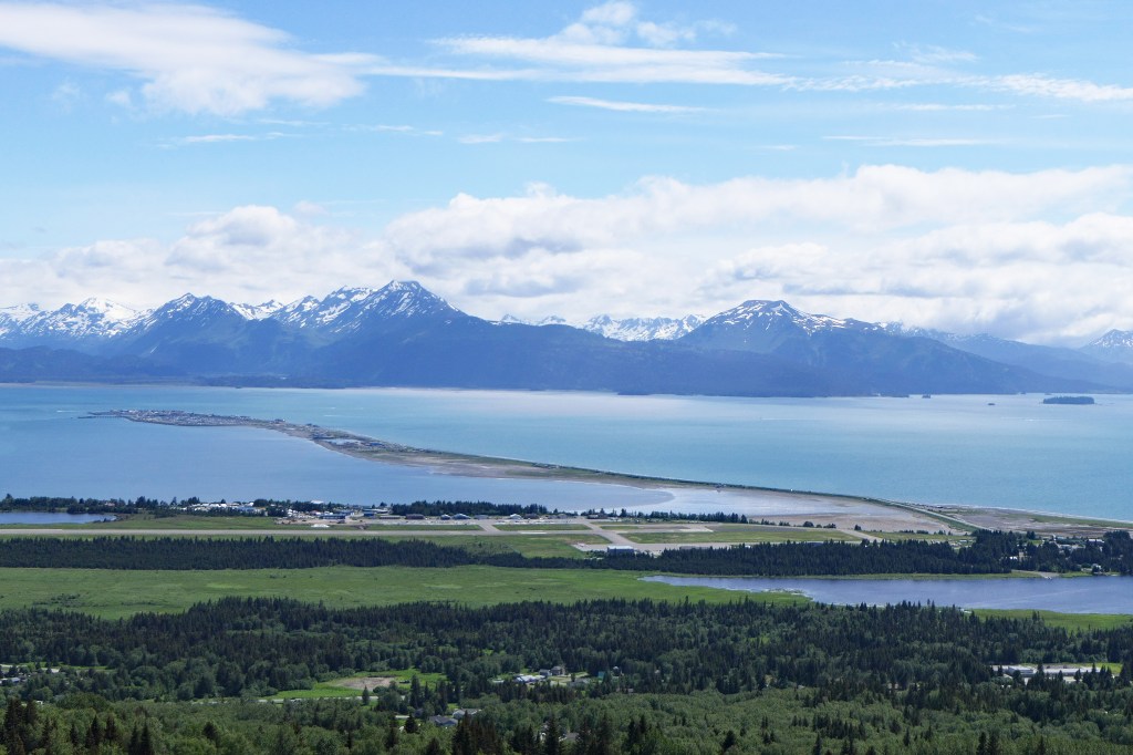
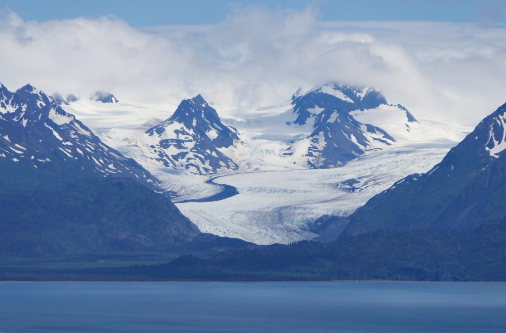
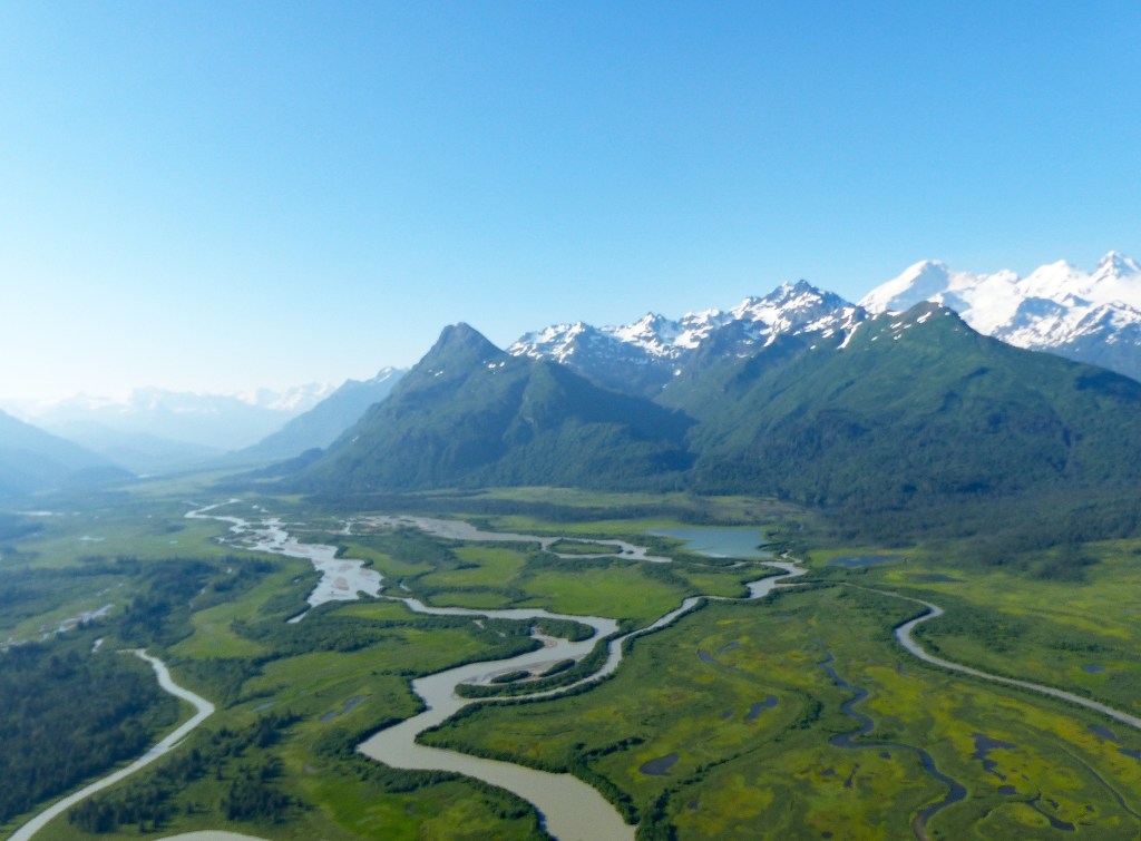
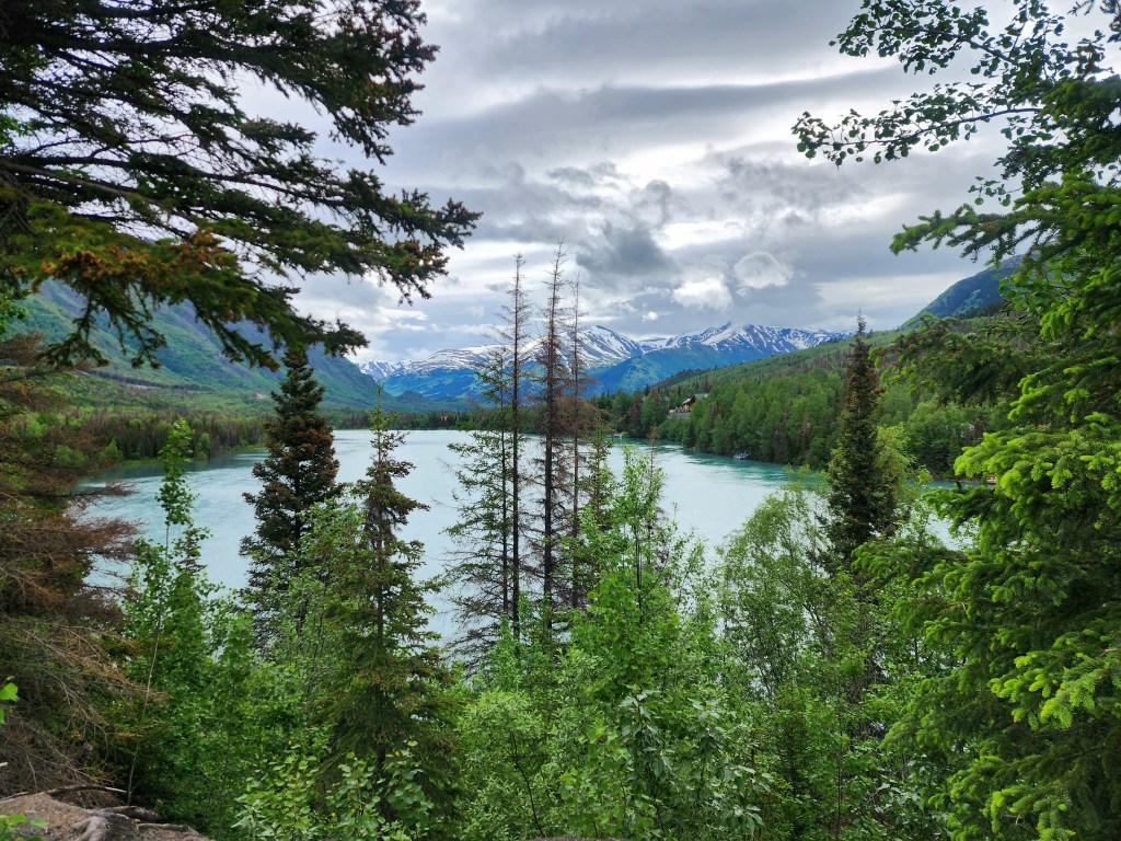
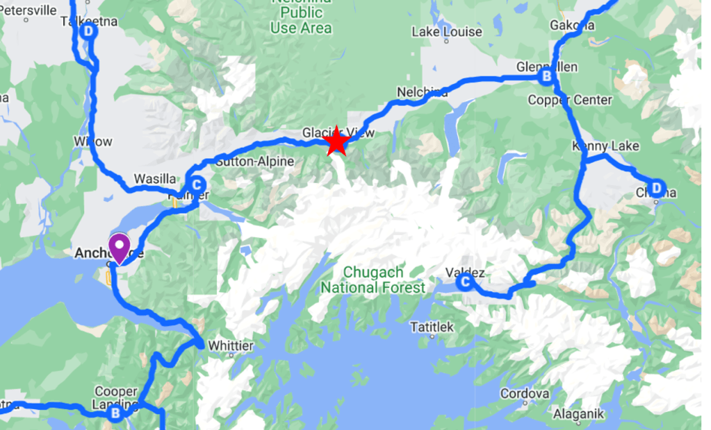
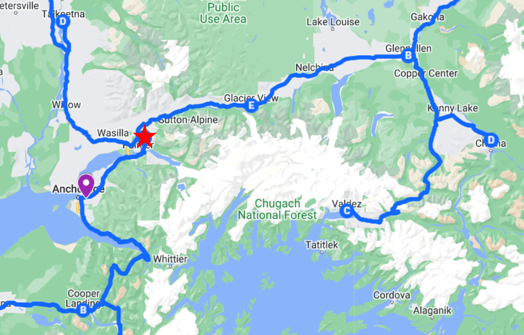
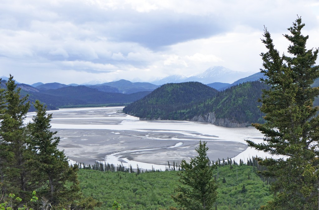
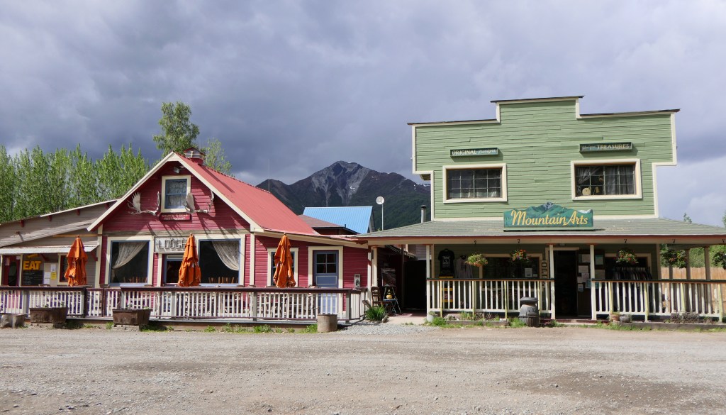
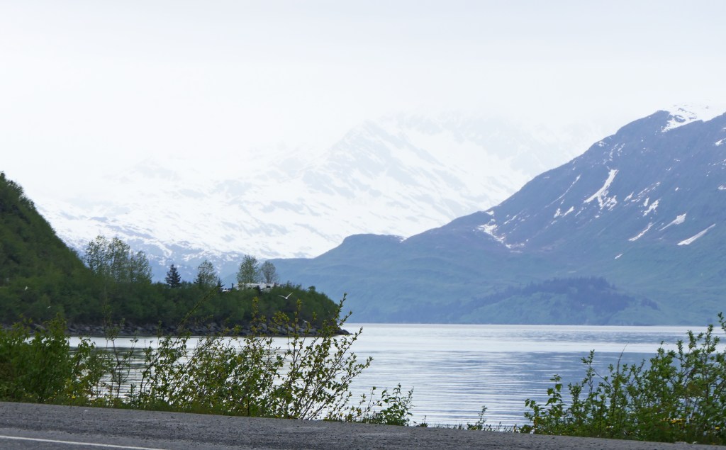
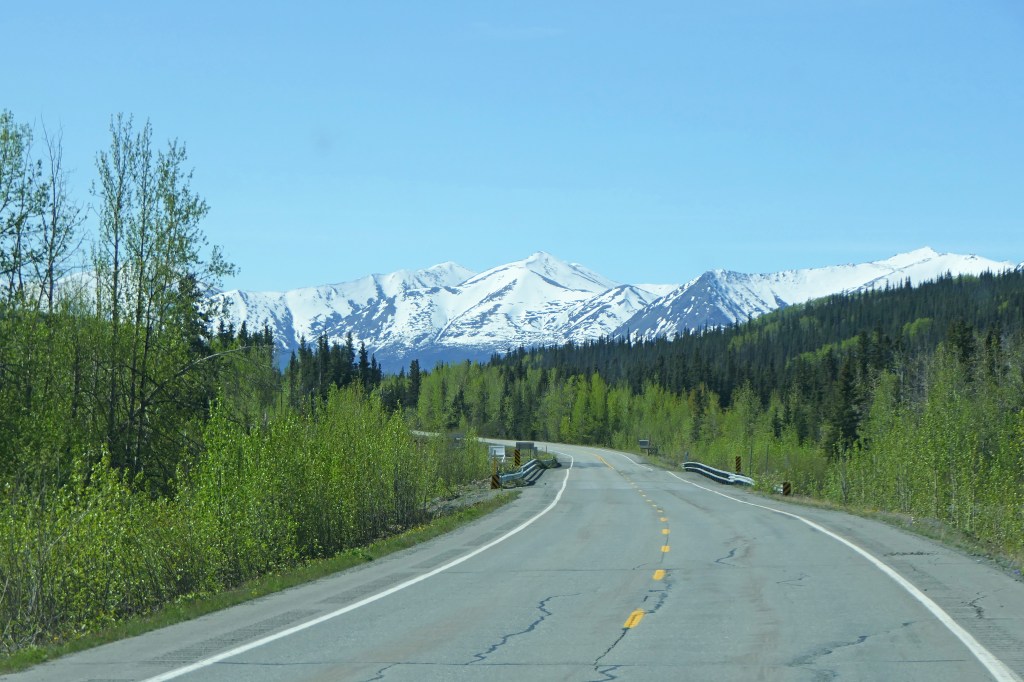
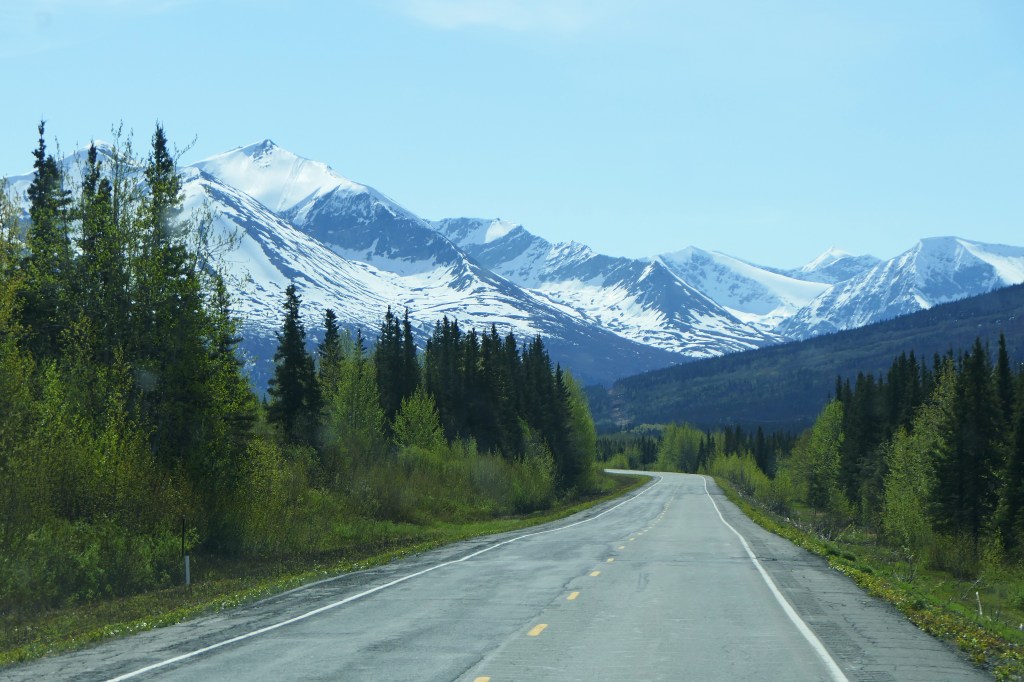
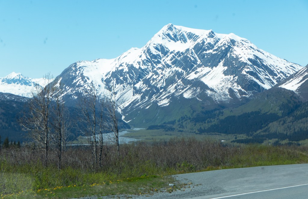
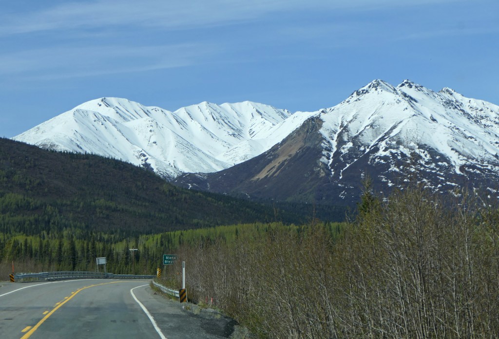
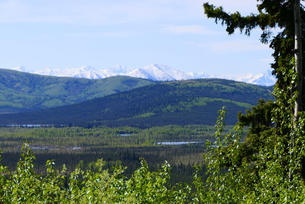
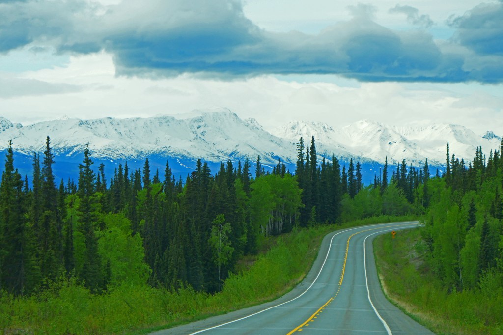
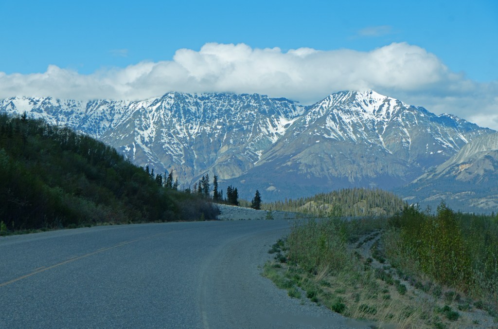
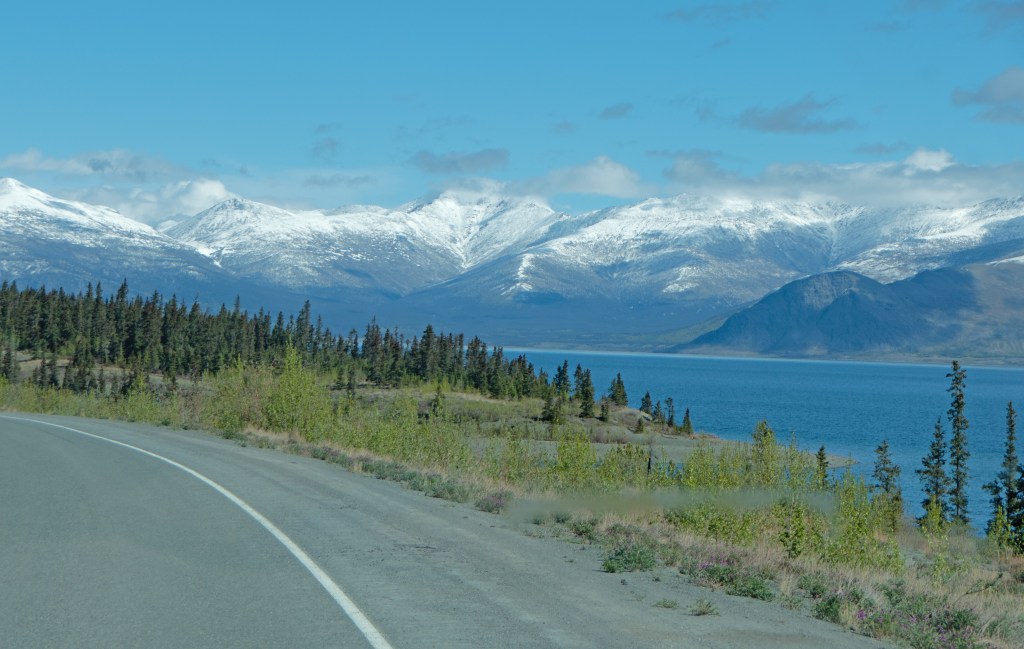
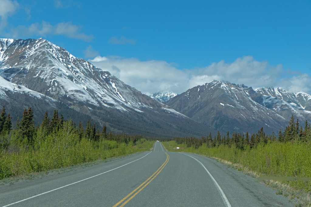
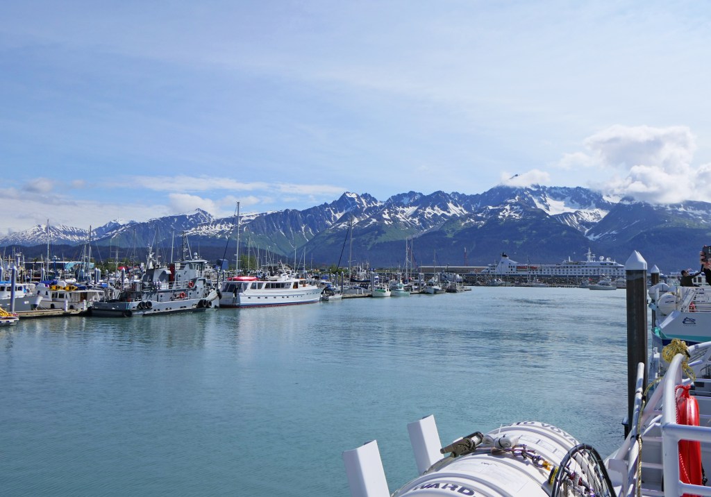
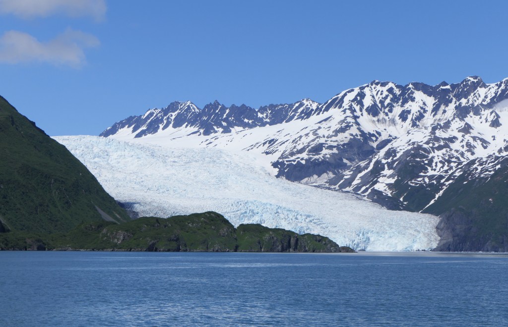
We drove from Homer up to Seward. Seward is the port that most cruise ships begin, end, or turn around in on Alaskan cruises and historically has been a major shipping port as it is the only one here that doesn’t freeze in the winter. The Kenai Fjords National Park is located here, with the Harding Icefield which spawns nearly 40 glaciers, some of which are landlocked and others that go to the sea. The Icefield covers ~ 700 square miles, is over 1,000 feet thick, and receives ~ 100 feet of snow a year.

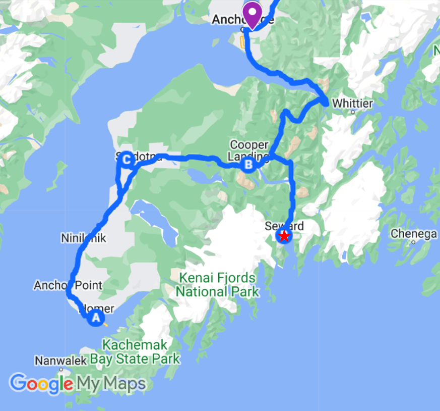
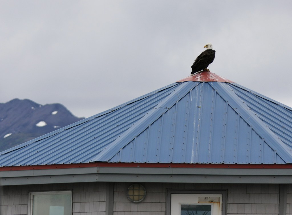
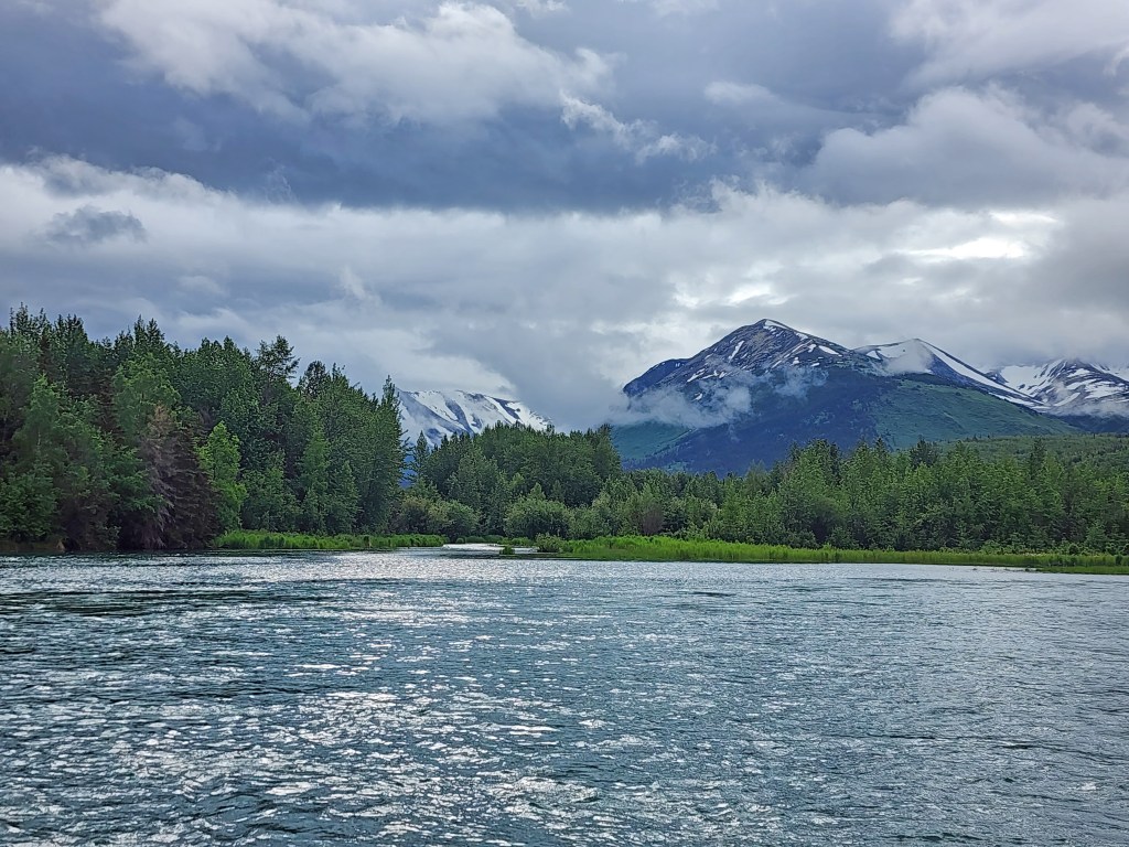
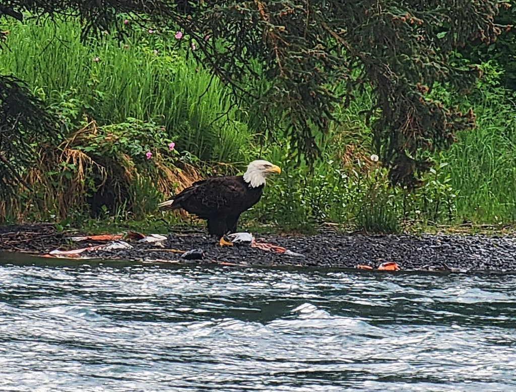
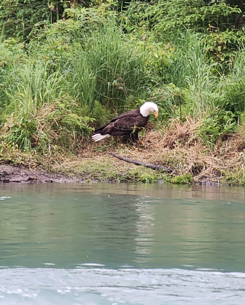
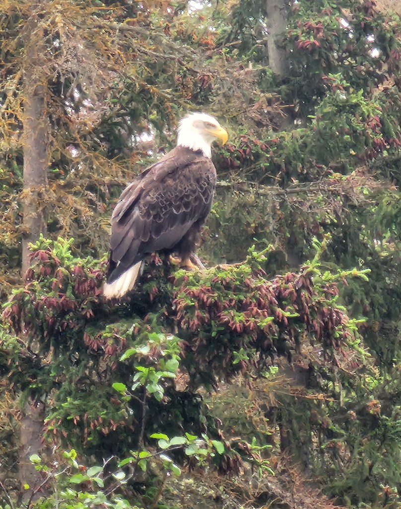
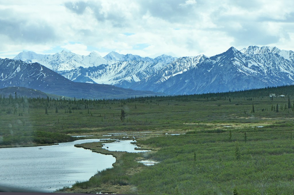
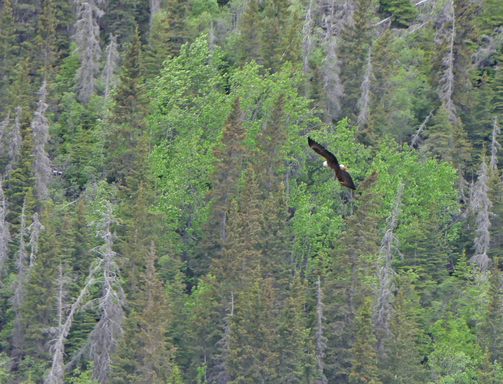
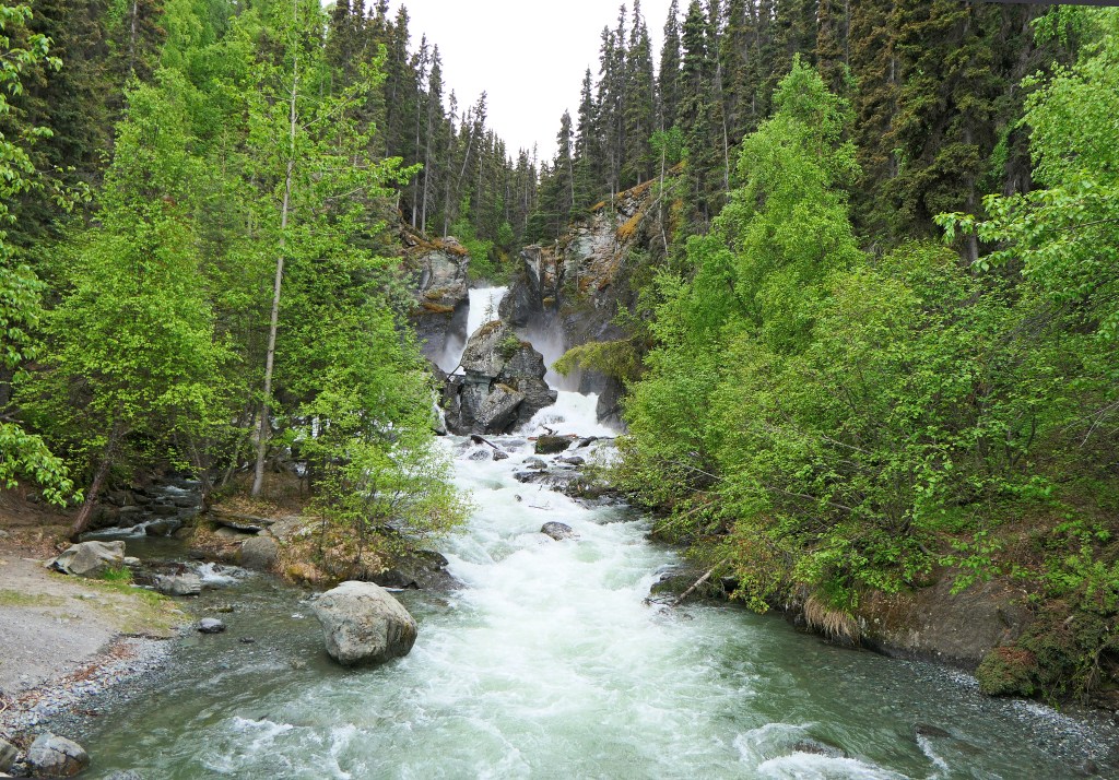
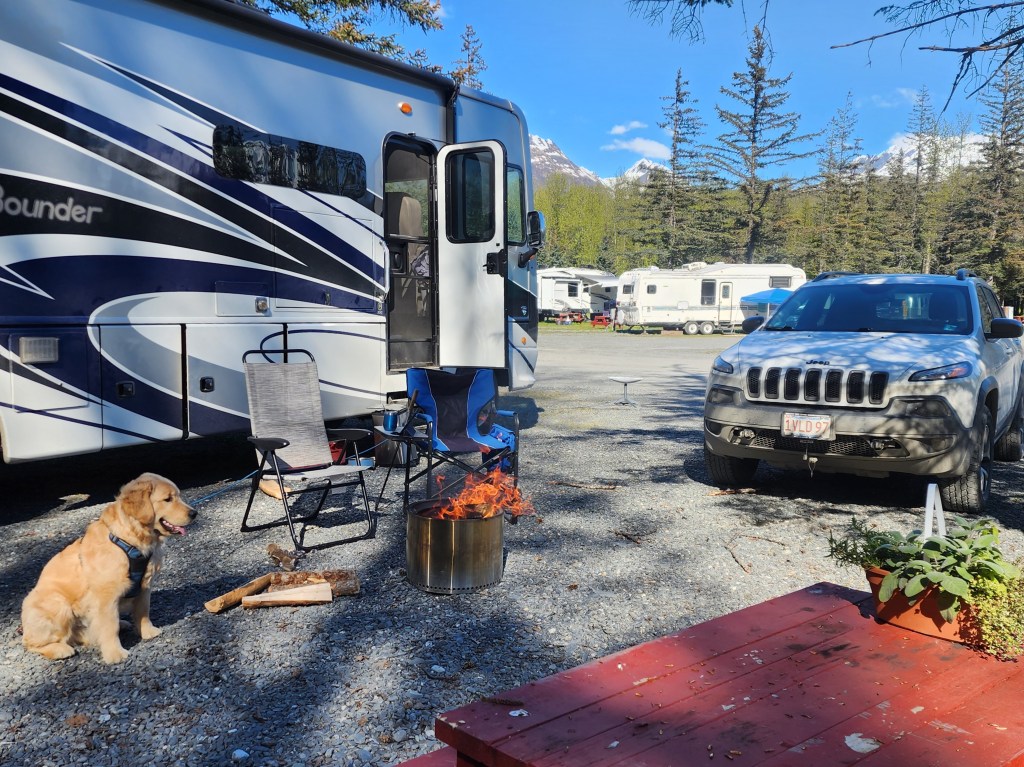
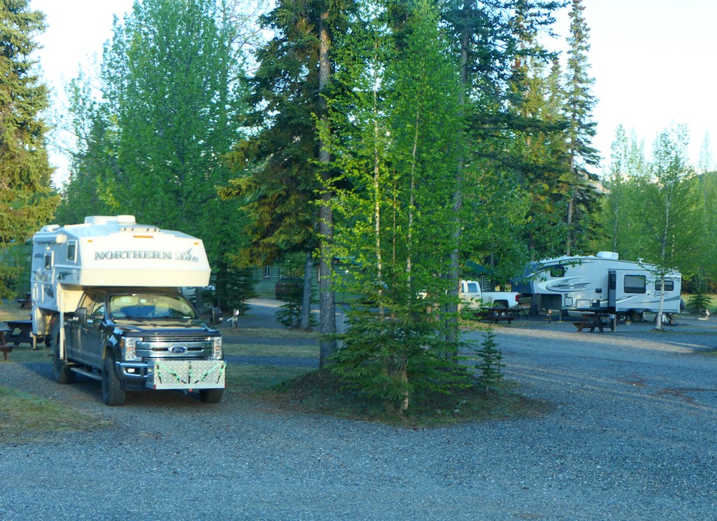
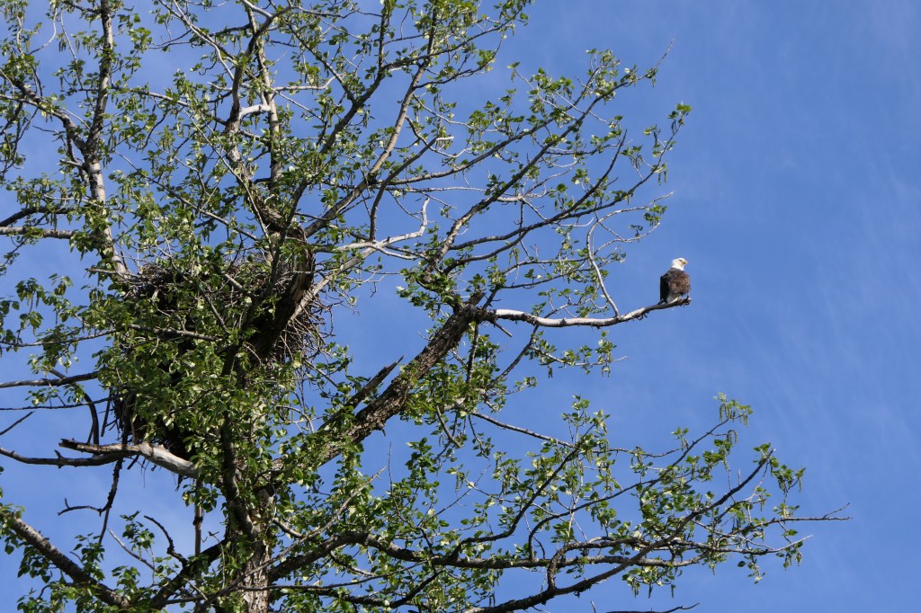
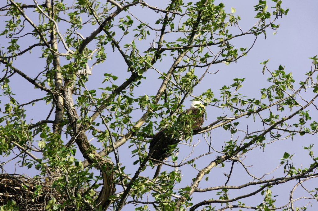
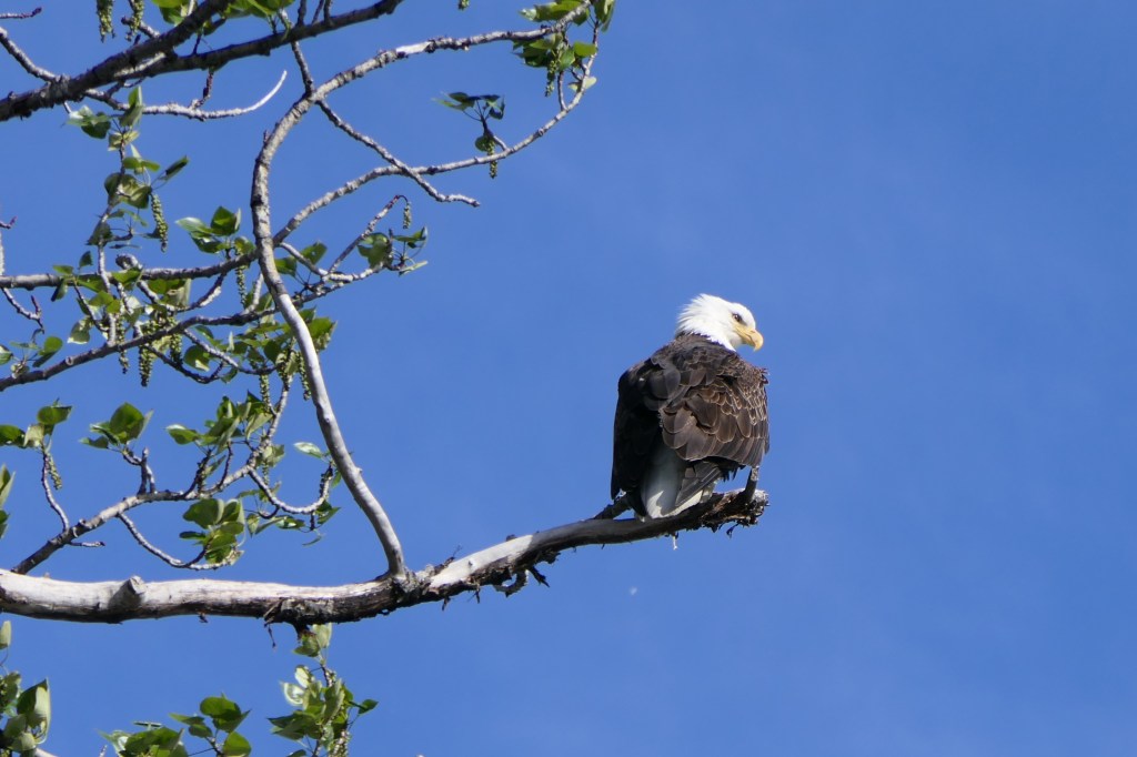
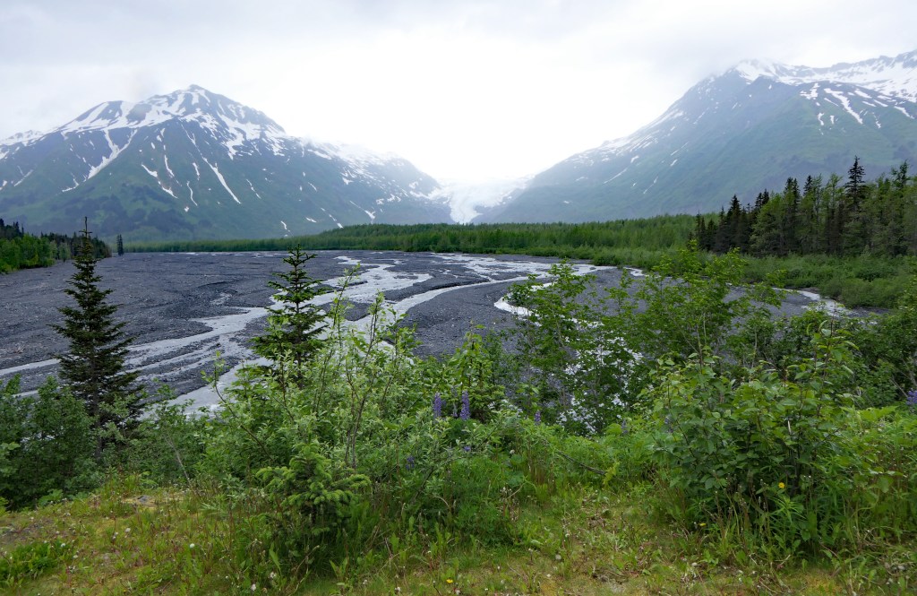
Our campsite is next to the Resurrection River flowing from the Exit Glacier in the park. About 200 feet from our site there is a tree with an active eagle’s nest.

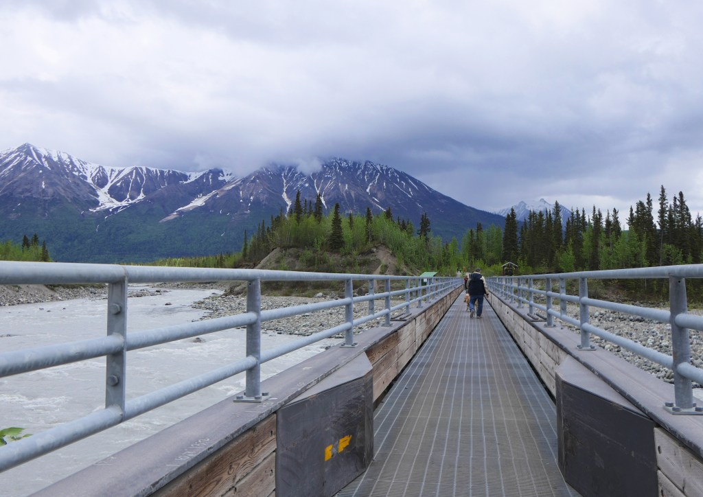
Exit Glacier is the only one that can be reached by road. It is amazing how far it has receded in the past 150 years. In 1815, the glacier covered where I stood to take this picture of it.

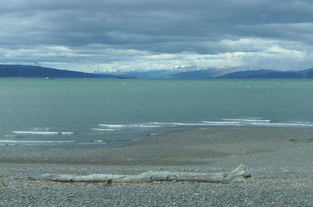
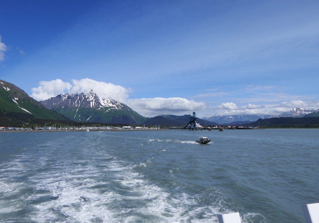
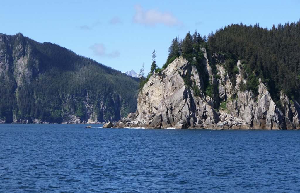
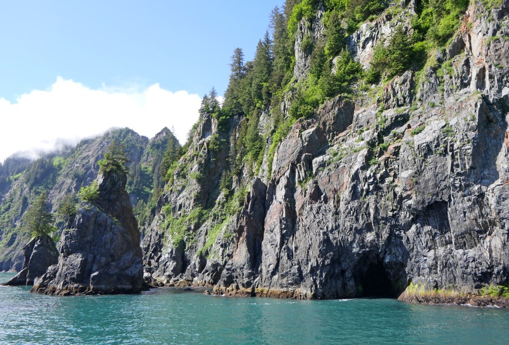
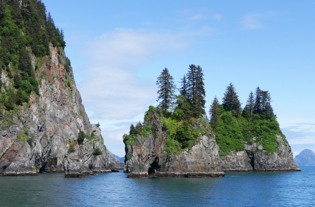
We were fortunate to have an exceptional day Saturday when we took a boat for a 7 hour tour of Resurrection Bay, the Park, and some of the glaciers in it. Resurrection Bay, like the bays surrounding it, are technically fjords. It reaches nearly 1,000 feet in depth and was an important location during WWII when Fort McGilvray was built on the western headland and on the eastern headland floodlights were placed so that the guns at the fort could target incoming enemy forces.

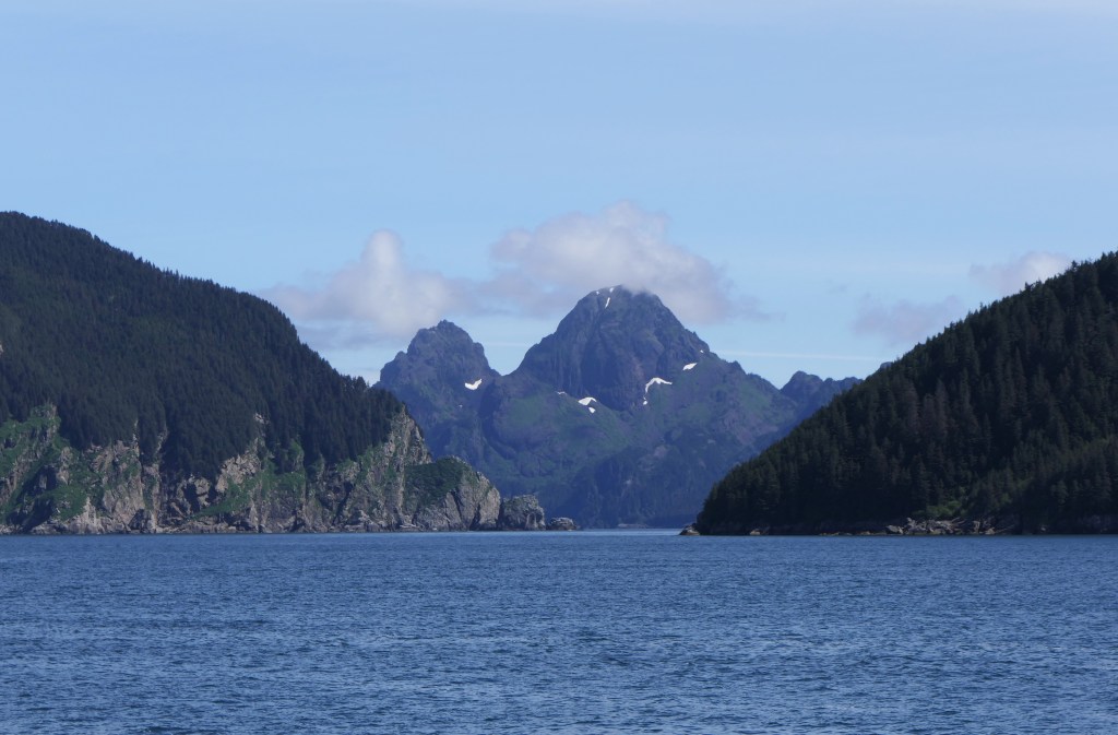
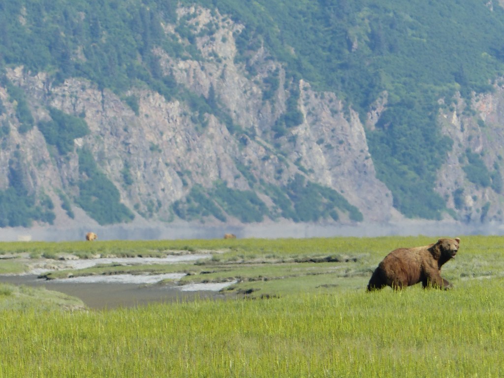
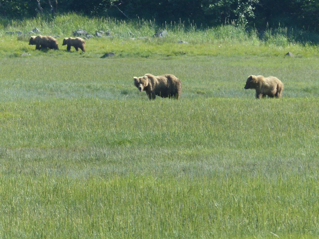
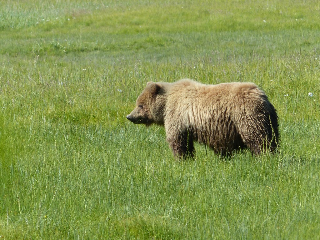
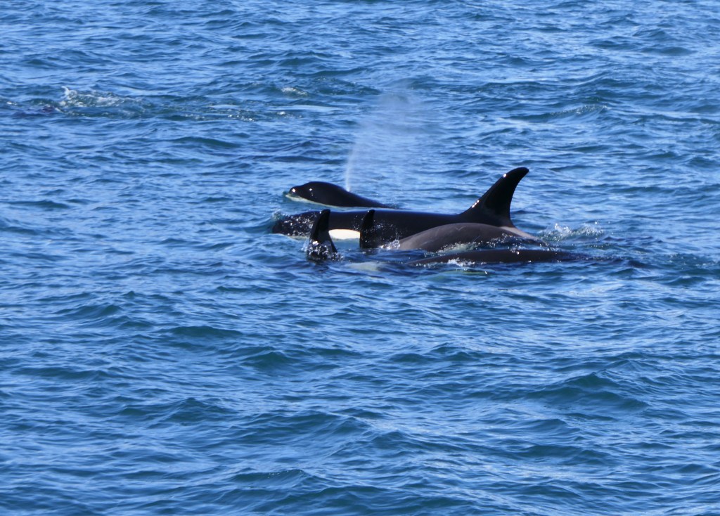
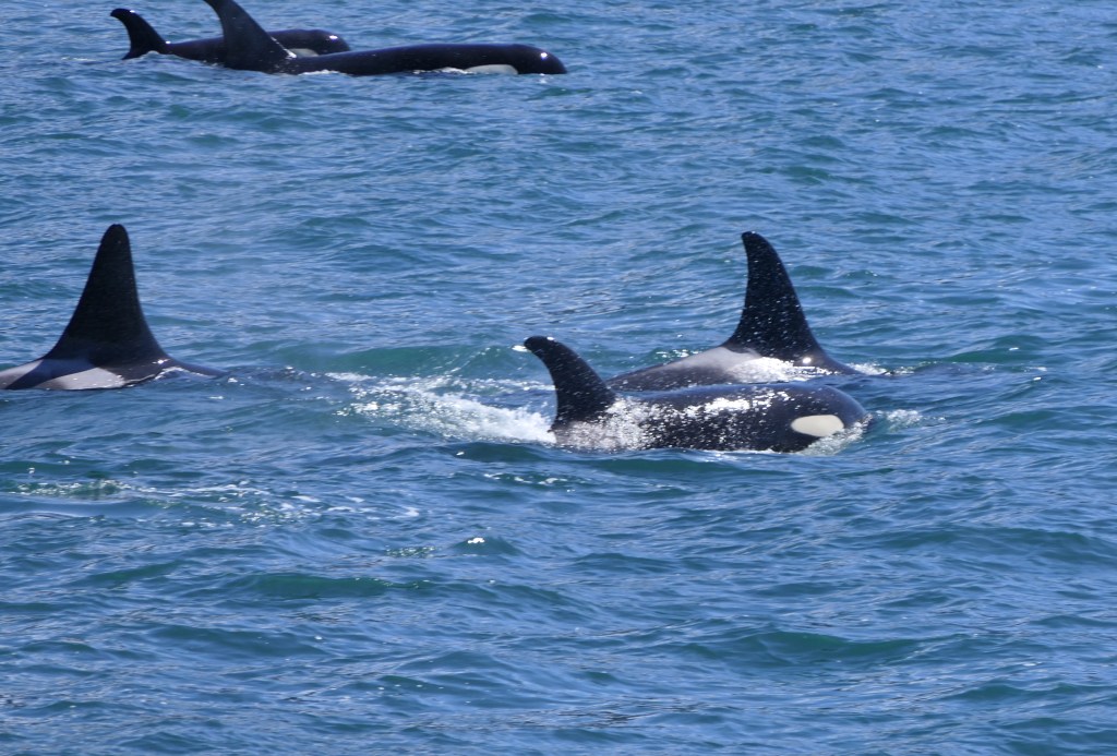
It was a trip to remember – we saw pods of orcas, humpback whales, seals, Stellar sea lions, sea otters, and numerous shore birds.

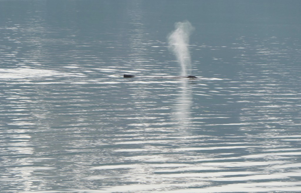
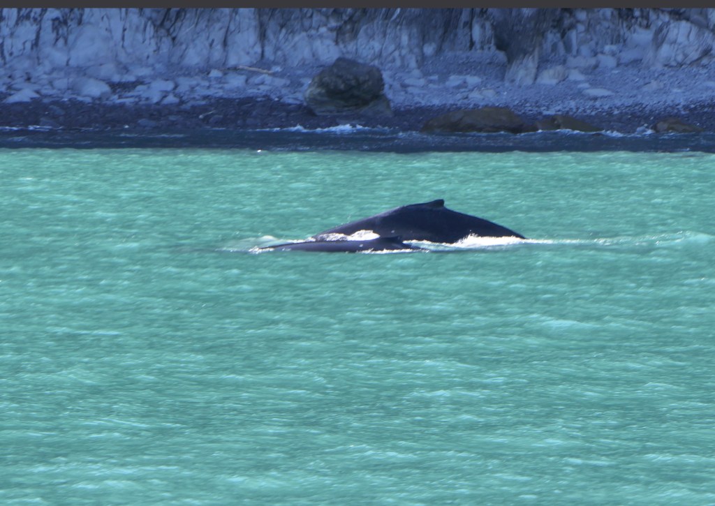
We saw a number of humpback whales, and there was a humpback mother and calf. The calf was active but not mom.

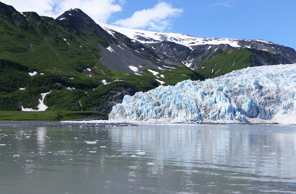
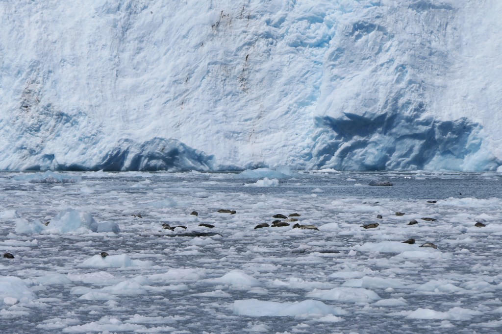
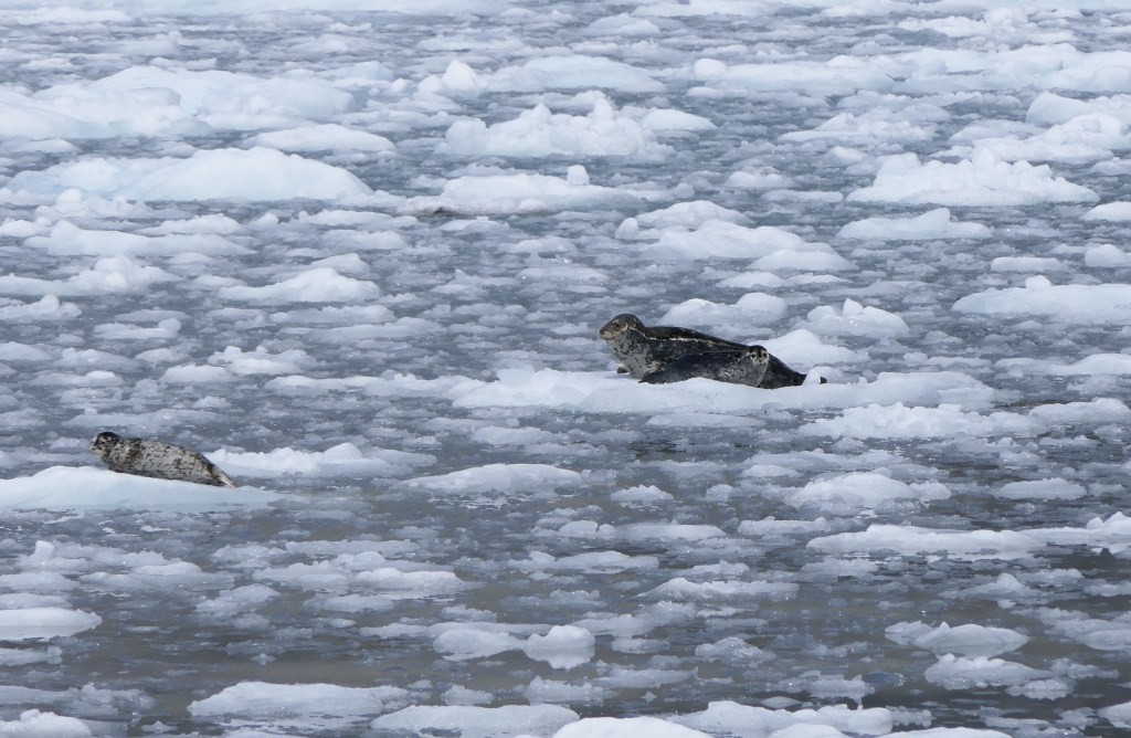
The captain got us up close to the Aialak Glacier and a boatload of seals.

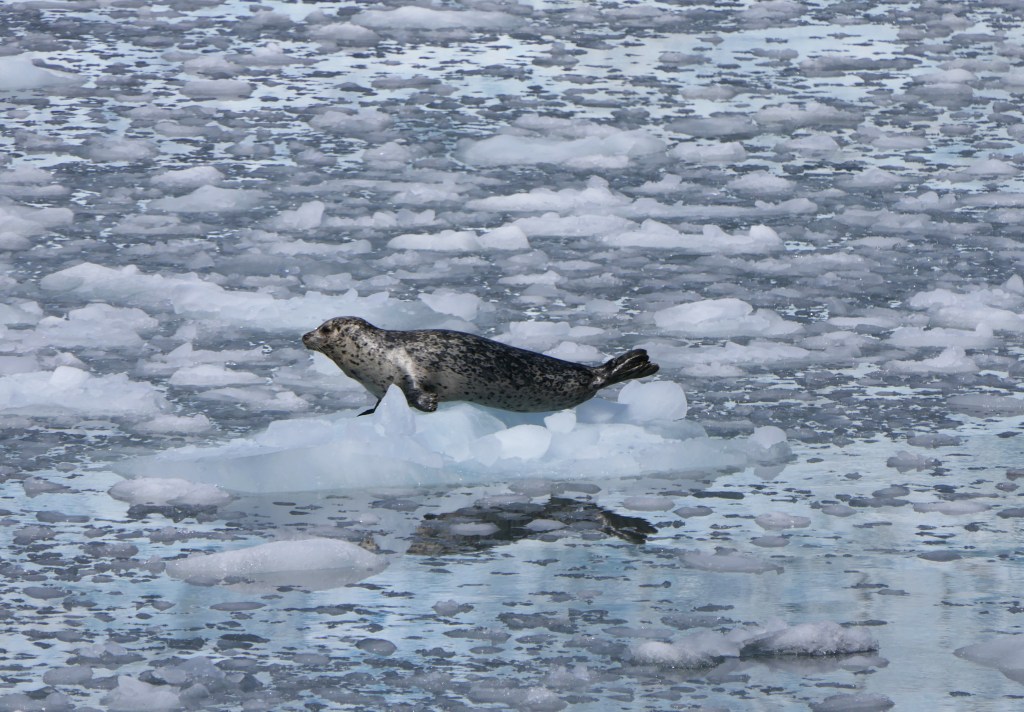
Mom and seal pup, with another pup floating nearby.
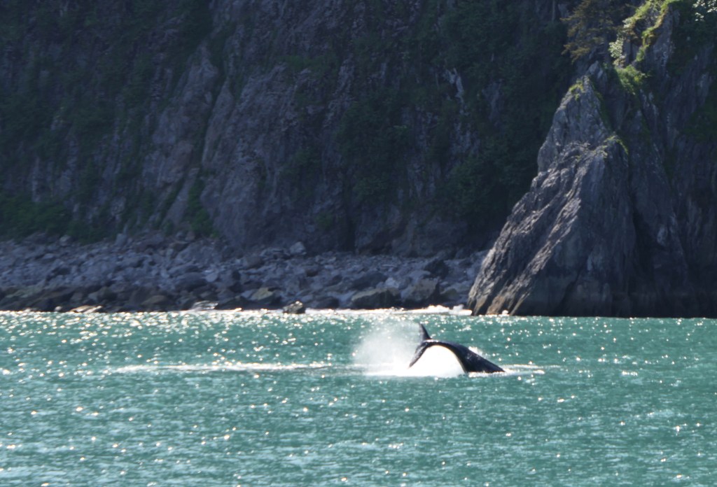
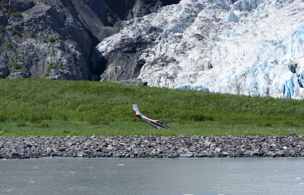
Oops!!!

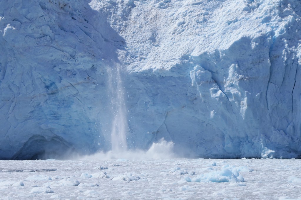
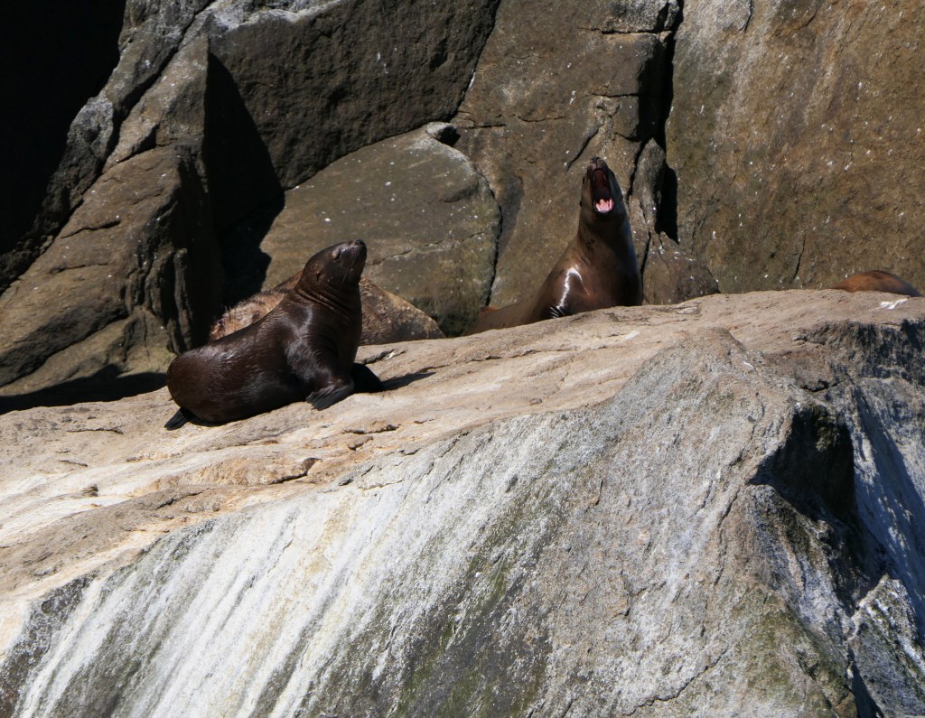
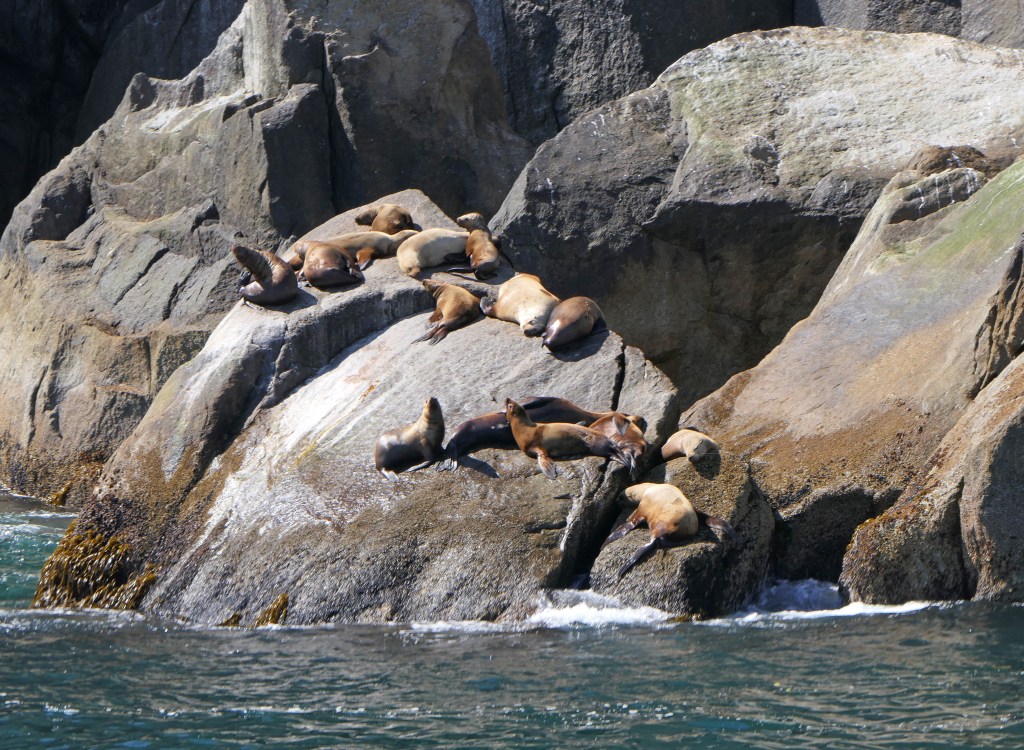
It is hard to say what made more noise, the glacier calving or the Stellar sea lions! The males can weigh 2,500 lbs. The colony had a number of pups with their moms.

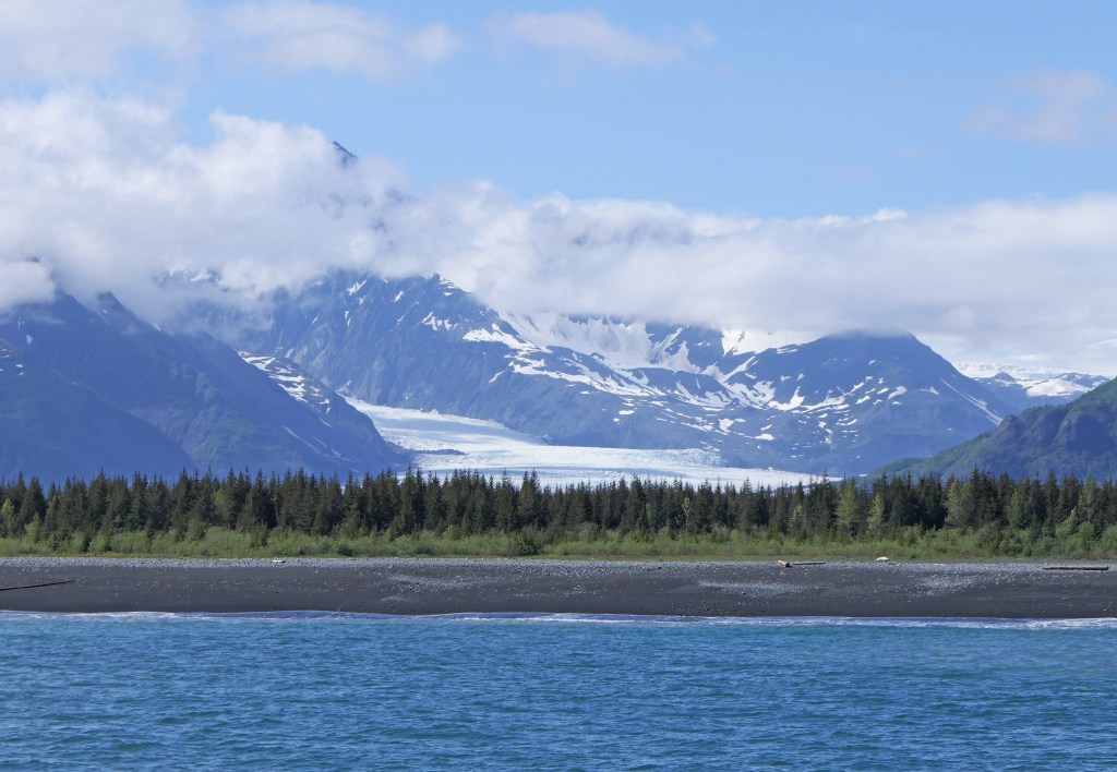
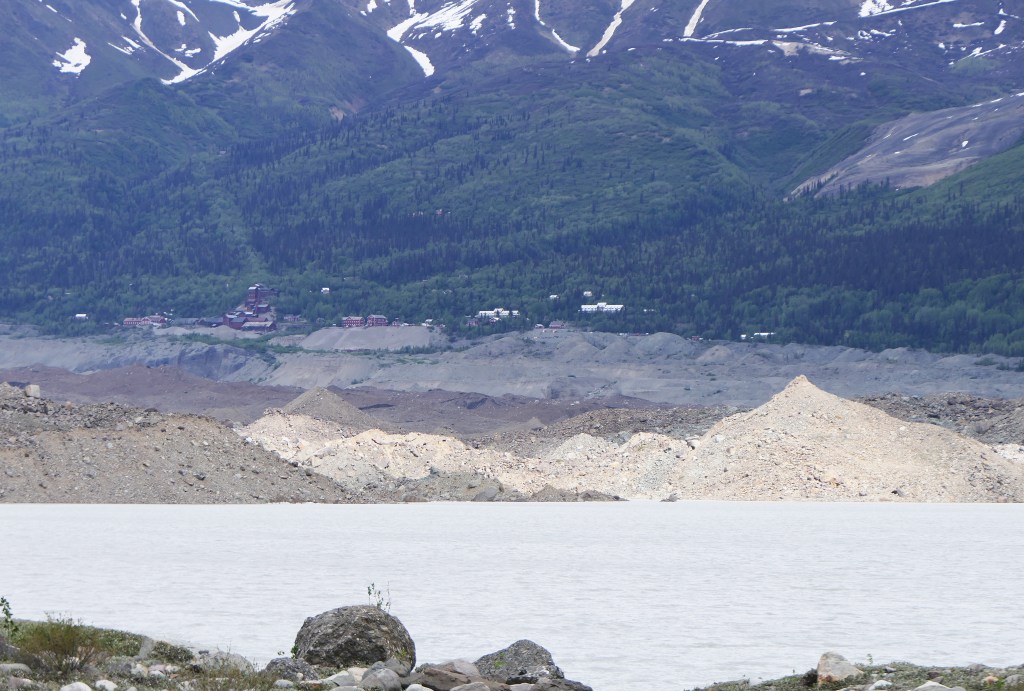
Towards the end of the trip we went by Bear Glacier. This glacier ends in what is called a terminal moraine (a buildup of the material that is created when the glacier grinds down the rock from the mountains) which is the beach you can see in this picture. It was cool to see the icebergs floating behind the beach in the glacial lagoon.

More fish, more rain.

We’ve been spending the week in Homer. Once again the weather has not cooperated and we haven’t been able to do all of the things we were hoping to do. Most days have been cold and rainy.

Homer is at the southern end of the Kenai Peninsula, and if you are familiar with the TV series Alaska:The Last Frontier on the Discovery Channel, it is where the Kilcher homestead is located and the series is filmed. UPDATE: When we went to dinner tonight before we leave tomorrow, guess who I met? Otto Kilcher, what a great guy! Had a really nice conversation, saw lots of pics of his horses and grandkids 🙂

We are staying down on Homer Spit, with a site right on the water. I took this shot of the Spit today which was the only day the sun really came out.

There is a glacier across the bay, the Grewingk Glacier. We were able to see it today when the clouds lifted.

Earlier in the week Christian went out deep sea fishing. He got 3 cod (~18 lbs. each), 2 halibut, and a pink salmon. We ended up shipping another 24 lbs. of fish home!

With the rain we looked for things indoors to do. The Alaska Islands and Oceans Visitors Center for the Alaska Maritime National Wildlife Refuge had some great exhibits, however most of the refuge is inaccessible via normal means. This dory was the last one used by biologists for the refuge and it was built in Massachusetts. An interesting exhibit told the story of the Battle of Attu, the 2nd most bloody battle in WWII when the Japanese landed unapposed in the Aleutian Islands after invading Kiska.

credit – Wikipedia

We visited a winery here that makes wines both from traditional grapes with fruit added (on the left) and also solely from fruit (on the right), and a number of them were excellent, far better than the fruit wines we have sampled at home!

We also squeezed in a bath for Beau at the local dog wash. He wasn’t a fan, but he smells MUCH better 🙂

One thing that loves the rain – the lupine are blooming everywhere.

And because I can’t resist, four years ago this week we were here, the weather was much better, and we took a helicopter to Lake Clark National Park to see the brown bears. We landed in a vast marsh and somewhere around 40 could be seen at one time. We wanted to do it again, but the weather didn’t cooperate and the price tripled.

ggg

Salmon Fishing!

We’re in Coopers Landing, the central hub of the salmon fishing on the Kenai River. Bad news was the dismal weather has settled back in again, cold and rain.

Yesterday we went drift boat fishing for sockeye salmon (“red” salmon) on the Upper Kenai River. We fished this four years ago in the midst of the huge fire on the Kenai Peninsula that burned 170,000 acres. The burn area is vast. At that time when we drove through the fire area towards Homer, we had to wait four hours as they closed the road.

credit Alaska F & G

This is the early run of sockeye on the Kenai, and ends in the next few days. Alaska F&G manages the fishery intensely, doing counts of the migrating salmon and adjusting the daily limit on the fly. The usual limit is 3 fish per angler, however today we had a limit of 6 fish, and tomorrow – the end of the run – they increased the limit to 9 fish because the monitoring of the run has indicated that the goal for the fish not captured of 22,000 to 42,ooo will be exceeded.

We had an excellent guide Adam, the owner of Five Dogs Fishing and had a great boat mate David, an avid fly fisherman from Montana. After a 3:30 wake up call to make a meet up at the boat at 5 am, Adam put us on a spot were the fishing was HOT!

OLYMPUS DIGITAL CAMERA

It became obvious quickly why we had such an early start because by mid-morning, the river was wall-to-wall anglers at the spots accessible on foot. They call it “combat fishing.” I didn’t get a picture of the utter chaos we saw on drive back upstream.

Our guide Adam.

Boat-mate David.

Our group landed eight large (~ 7 lbs.) salmon and had a number of escapees, as well as rainbow trout and Dolly Varden char which were released. Quite the day!

There were a lot of “anglers” there of a different species too.

And a mama and baby moose.

Glaciers and sun

We had a couple of days up in the middle of the mountains on the way to Anchorage. It was beautiful, but for most of the time the weather didn’t cooperate.

This was the view from the place we stayed at around 10 pm when the clouds broke for a bit.

Moved down to a spot still in the mountains just outside of Anchorage and the weather continued to be cold and rain until yesterday afternoon and today.

With the sun today we backtracked back to the Matanuska Glacier to be able to really see it.

This is the view from this campground tonight.

We’re hoping we’ll have better weather going forward so we can do things!

Wrangell-St. Elias National Park

We’re parked in Chitina, about 60 miles from McCarthy, the town that is an inholding within the park and that is 5 miles from the Kennecott Mine. Chitina is right by the confluence of the Copper River with the Chitina River.

What they call the Copper River delta is a huge delta of glacial silt deposits and braided riverbed. The scale of this can’t be captured in a picture.

It is an important spot for salmon fishing. Above the bridge, dip netting and fish wheels are allowed. We saw this but couldn’t get a good picture.

credit – Alaska.org

Eagles soar above the fishermen and also wait patiently for a catch.

We didn’t have great weather again, the locals say it is abnormally cold, rainy, and windy. But we did see spectacular views.

The gravel road from Chitina to McCarthy was originally a railway to move the copper ore from the mine at Kennecott to Cordova where it was loaded onto ships.

This was the location of a rail bridge, and now is a road. Over 6,000 men constructed the rail line beginning in 1907 over four years.

There is a remnant of the original wood rail trestle that can still be seen.

On the way down the road we surprised a moose so here is a pic of a moose tush on the run 🙂

The town of McCarthy is an experience. To get there you have to park and walk across the bridge where you can get a shuttle into town every half hour.

The copper ore mined at Kennecott yielded over a billion dollars profit in today’s dollars. In addition to being a National Park historical site, it is also a Superfund site.

Unfortunately, after we took another shuttle the five miles from McCarthy, the weather turned from bad to worse as heavy sleet, so we didn’t make it to the ghost town of Kennecott. In the forefront of my picture are the huge mine tailing piles.

credit – NPS

There is a beautiful waterfall at Liberty Stream on the drive.

Rain and more rain…

We were so lucky to have a beautiful day for the drive to Valdez, because after that the weather went downhill for the remainder of our stay here. So no halibut fishing or glacier cruise as planned. The folks here say they have had record rain and cold this month.

One day there were some breaks in the rain and we toured around the small town. Traveling by the fjord in Prince William Sound, we followed a humpback whale as it leisurely traveled along. You could hear every breath from the shore.

And some sea otters…

There is a fish farm just offshore by the hatchery.

The berries are in bloom by the harbor, and there are bear caution signs all around.

There is a viewing area for when the salmon are running. Beau found it very interesting! What a dirt-head 🙂

This is all there was of the Valdez Glacier Lake.

You’ve heard of she-sheds…

On to Valdez!

The move to the next stop in Valdez was great on a warm and sunny Monday.

We had some phenomenal views along the drive. Some say that Switzerland is the Valdez of Europe 🙂

And the inevitable road construction stops. The Highway Department works nonstop on the roads here in the warmer months. Not a bad place to spend a day at work!

At the top of Thompson Pass (elev. 2,805′ – it is the snowiest place in Alaska, getting an average of 500″ of snow a year) is Worthington Glacier, which you can walk to when there is less snow on the ground.

Beau thought the snow was the best!

Keystone Canyon, which is about 15 miles from Valdez, has a number of spectacular waterfalls, including Bridalveil Falls.

Big Peeks

Traveled down from Tok halfway to Valdez to Glenallen. The views of the Wrangell mountains along the way were breathtaking. Unfortunately the campground we were supposed to spend a couple of nights at just changed hands and they found that a lot of the water pipes had burst as well as the sewer lines because the previous owner hadn’t winterized everything. So tomorrow we are going right to Valdez. Here is where we are tonight.

This is a shot of Mt. Sanford (elevation 16,237 ft/4,949 meters), one of the 10 highest peaks in Alaska.

And other views along the drive…

Sorry about the blur, we were driving and came up on the moose quickly as he was exiting stage left 🙂

And Pasque flowers grow wild here.

We made it to Alaska!

Yesterday we crossed the border from Canada to Alaska. The internet connection hasn’t been stable enough for me to get this up before now.

The frost heaves have no nationality, they don’t discriminate between Canada and the US. For a taste of the drive, take a Dramamine and watch this short video clip. https://youtu.be/wEAT99T2Dz8

On both sides of the border there was a lot of road work going on to do the repairs, and even some research into how to best combat the freezing and thawing of the permafrost due to climate change and the effects on the road.

credit – Laval University

However, the views of the Wrangell mountains were incredible along the drive.

Unfortunately the clouds moved in as we headed north, making it difficult to tell between the snow-capped mountains and the clouds.

But the long days are pretty awesome, this was our campground at 11:30 at night.

Sunshine!

It was a chilly 35 degrees F this morning! But the sun was out and the day warmed up. Our drive up here to a spot by the border of the Yukon and Alaska had some stunning views. Tomorrow we’ll cross the border back in to the US.

This is a pic as we approached the south end of Kluane Lake, which is 50 miles long.

As we drove up the west side of the lake, around every turn the view of the mountains changed.

But while the view was beautiful, the Alaskan Highway through this stretch was not. The frost heaves were like nothing I’ve seen before. The road crew here was ripping up the old pavement in a spot that couldn’t be patched anymore.