We leave Whitehorse tomorrow for a spot just outside of Alaska for a couple of days. The weather hasn’t improved much, still cold, windy, and damp – and we are looking forward to a change of scene.
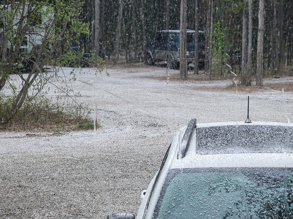
We had some hail storms yesterday.
Conditions improved enough for us to go to the MacBride Museum. It had some wonderful exhibits on the 14 First Nations, the Gold Rush, and Yukon ecology and geology.
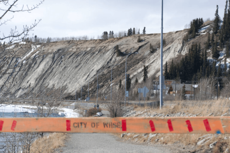
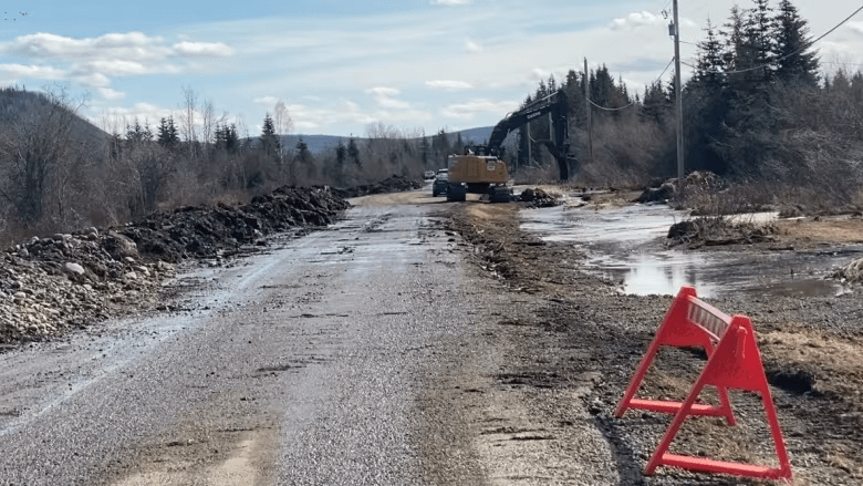
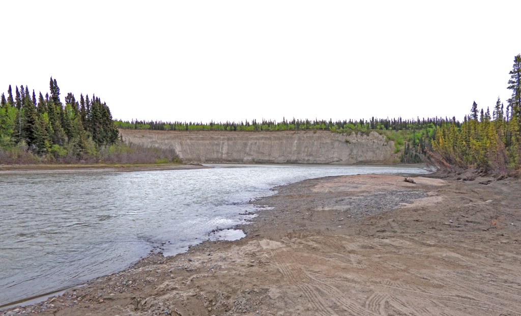
It’s pretty amazing how the embankments of the Yukon River are so unstable, there have been three landslides so far this spring affecting one of the major roads into town.
credit – Yukon News
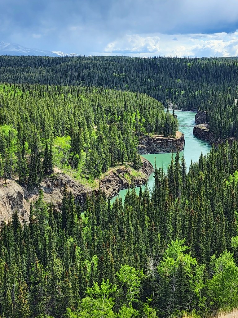
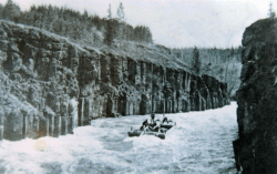
Afterwards we went up to Miles Canyon on the Yukon River. It played a major role during the Gold Rush of 1897 as a treacherous stretch of water that was the death of many prospectors dreaming of reaching Dawson City . It’s supposedly the most photographed spot in the Yukon, and it’s hard to imagine steam boats traveling through the canyon, or the hundreds of handmade boats of greenhorn prospectors, many of whom died trying to navigate it.
credit – MacBride Museum
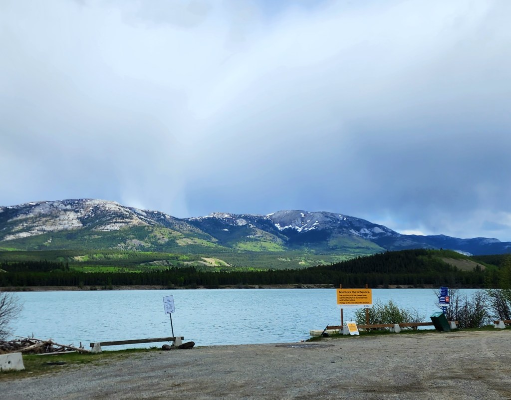
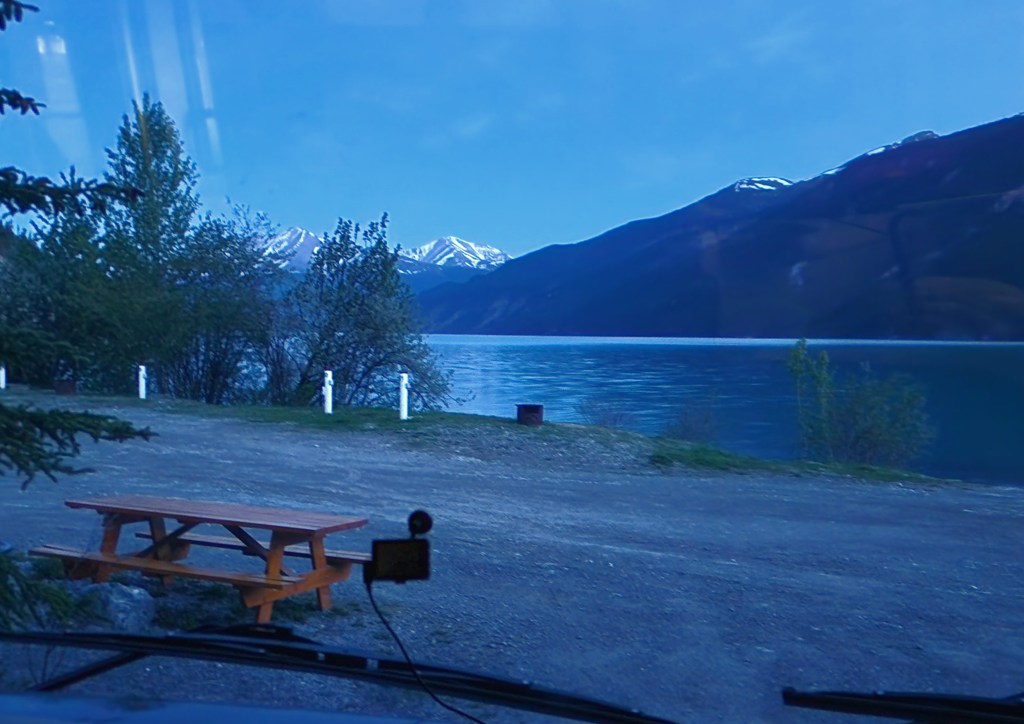
The lake below the canyon serves as a floatplane base, but being so early in the season few planes were there. The lake is formed by a hydroelectric dam with the longest wooden fish ladder in all of Canada. By the time the salmon get there they have traveled over 2,000 miles.
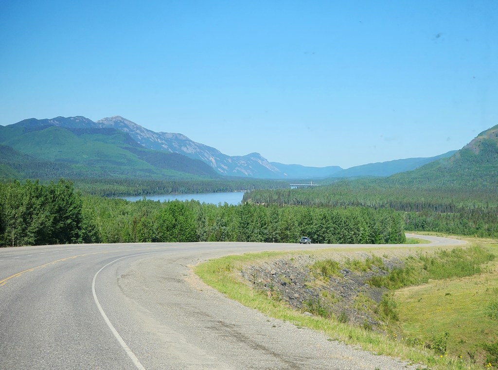
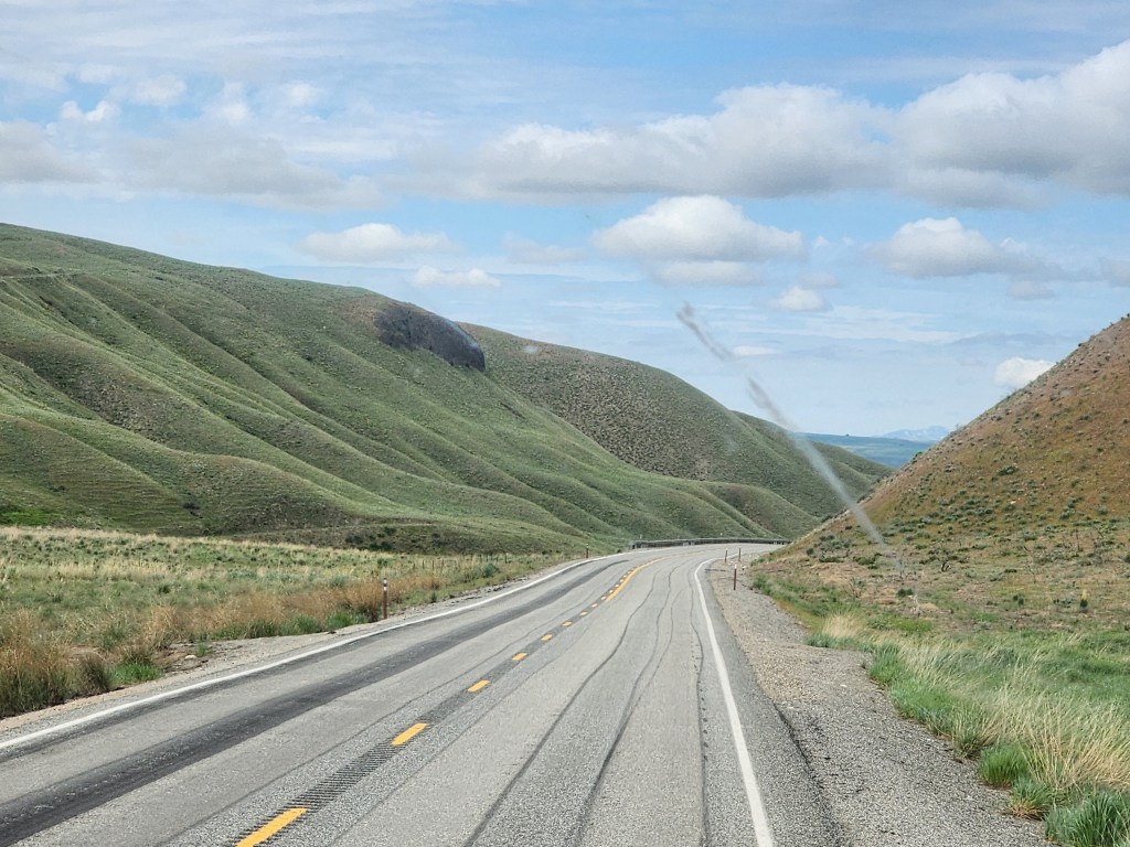
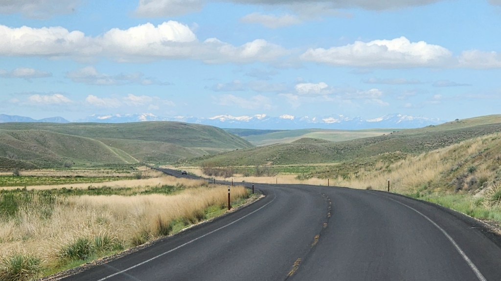
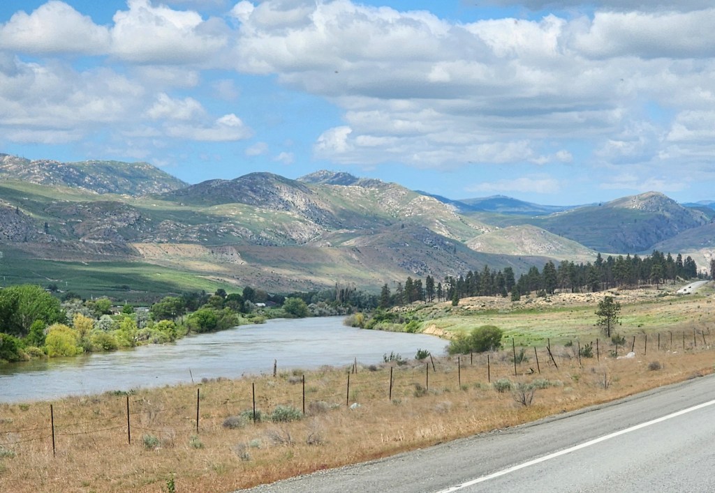
We’re here in Whitehorse (the capital of the Yukon Territory); arrived on Friday. Some parts of the drive were very nice.
But once we got here the weather went downhill quickly.
I decided to check the future road conditions and the customs office along the Top of the World Road which we were going to take to get into Alaska after a few days visit in Dawson City (if you watch the TV show Gold Rush, that is where most of the gold mining takes place). Thank god I did, Nope – Not Happening.
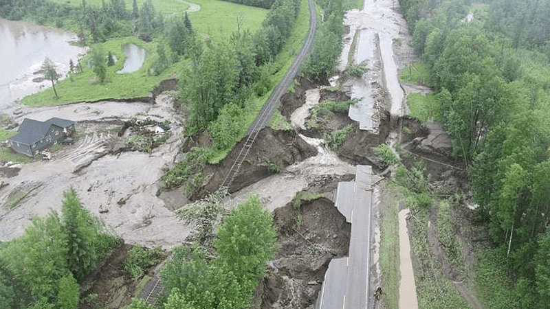
It turns out that there was record flooding in Dawson City (our next planned stop) due to ice jams previously followed by melting snow and record rain on the Yukon River, so the border crossing and road (which requires a short ferry ride across the river) are shut down.
Credit – CBC News
Credit CTV News
Rather than redo all the campground reservations, here we sit (with a few other folks in the same boat) in cold and rainy Whitehorse, re-routing to drive up the Alaskan Highway to Tok, AK (which would have been our return route). We’ll leave on Wednesday for a couple of overnights along the way. Meanwhile, most of the cool things here to see are closed atm, and of all places – the Starlink internet here is shaky (I’m having difficulty posting the pics for this, but we did get to see the Celtics take Game 6!). We couldn’t even get Sirius in the car when we were driving around.
Incredible erosion along the Takhini River.
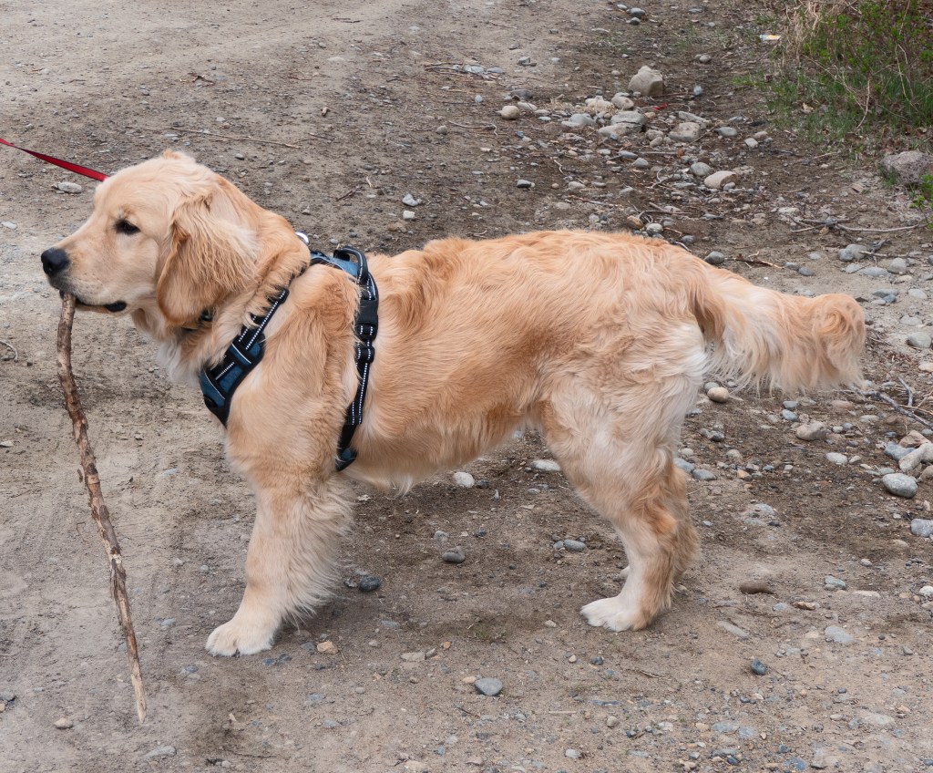
But someone is happy with his stick:)
Even with our longer stay we can’t find an RV tech to fix the problems we are having that remain after they were supposed to be fixed by the manufacturer, there are four businesses here and they are all booked. Meanwhile, we have the sous vide cooking some prime steak and we’re warm in our little traveling house.
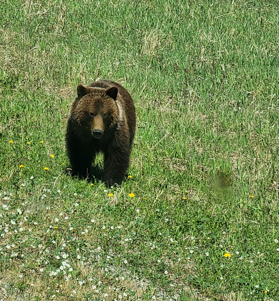
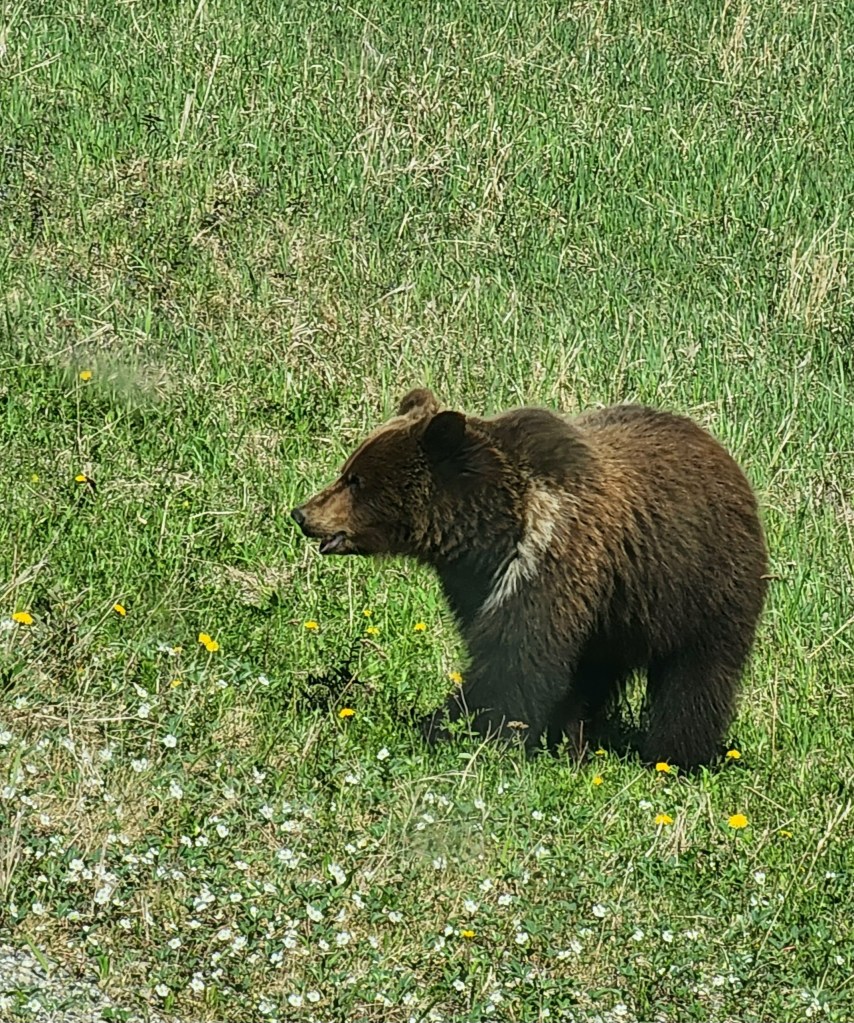
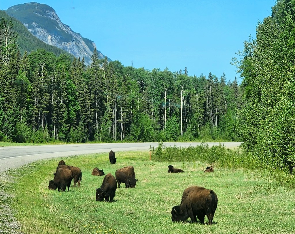
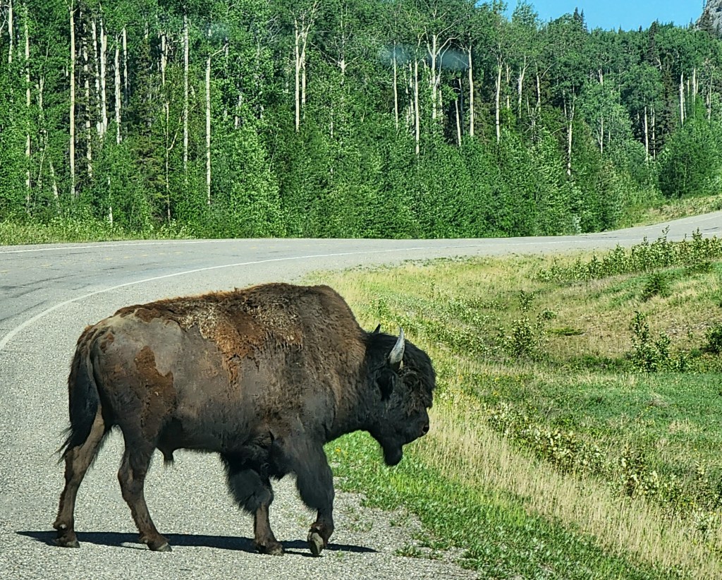
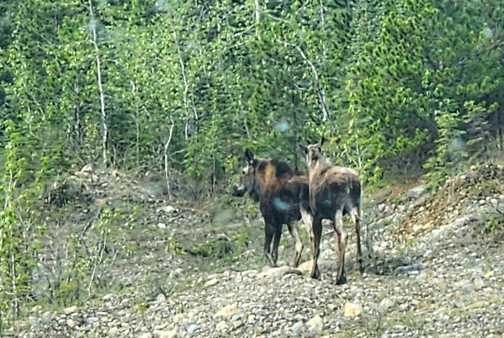
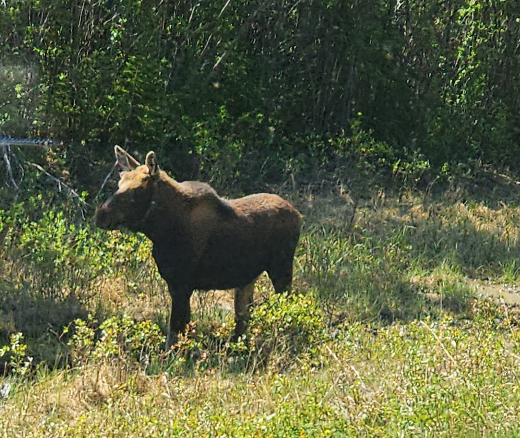
We left British Columbia behind today for the Yukon Territory. It was a day of wildlife sightings. Three moose, three black bears (one alone and a mother and cub), a young grizzly, and a ton of bison! It is difficult to get a lot of good pictures because the turnouts are rarely where the great views or the wildlife are, and traffic – while sparse – is moving along at highway speeds.
The bears like to eat the dandelions by the road at this time of year.
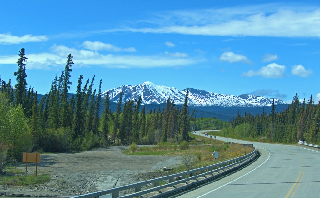
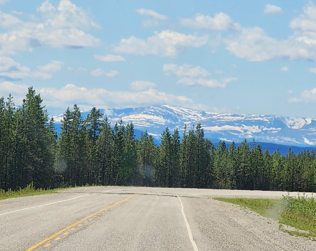
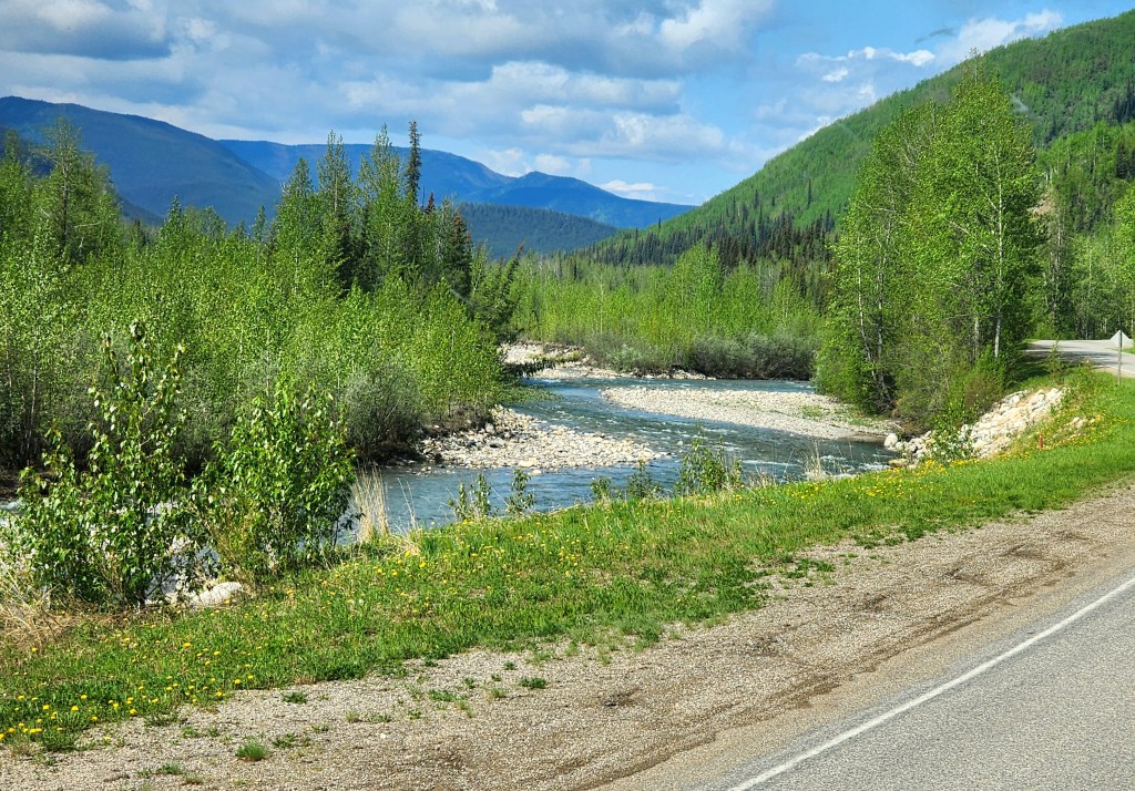
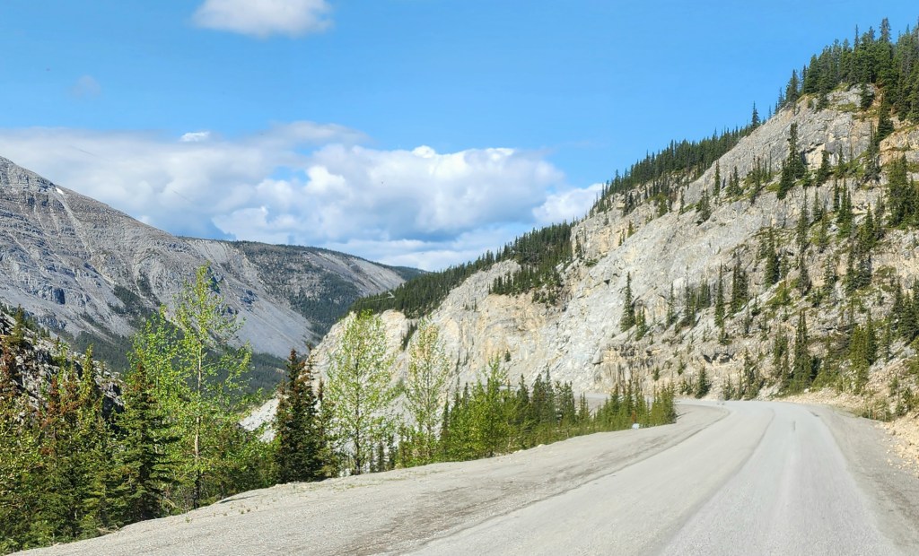
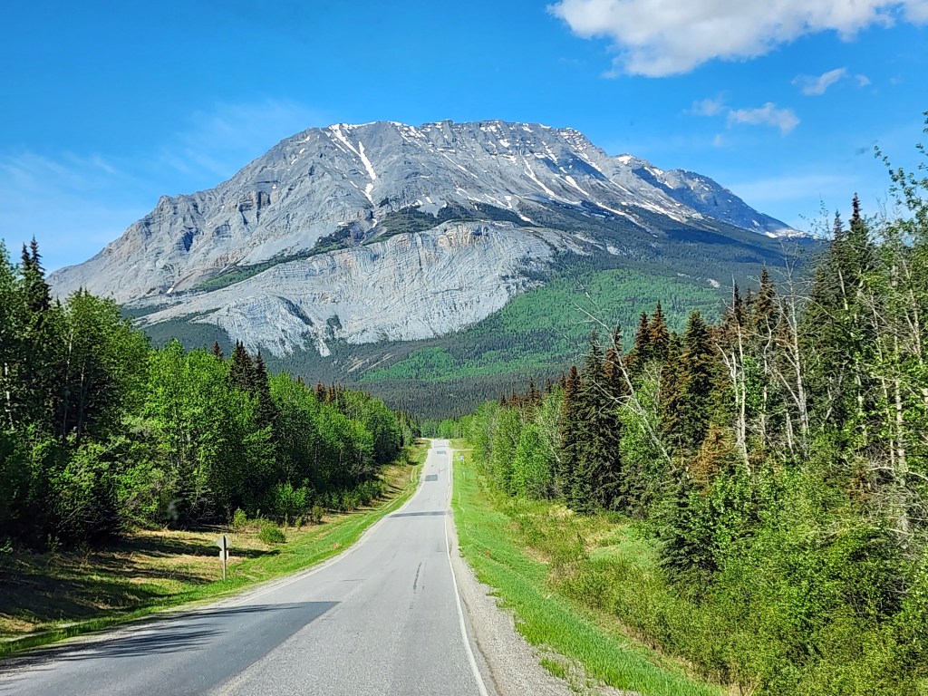
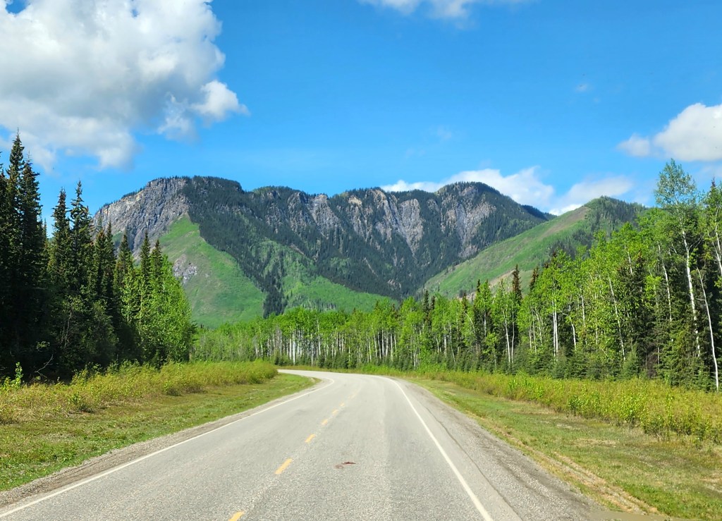
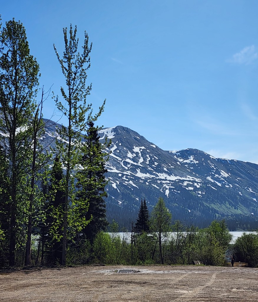
It was an absolutely beautiful (and short) drive today through the Northern Rockies in British Columbia.
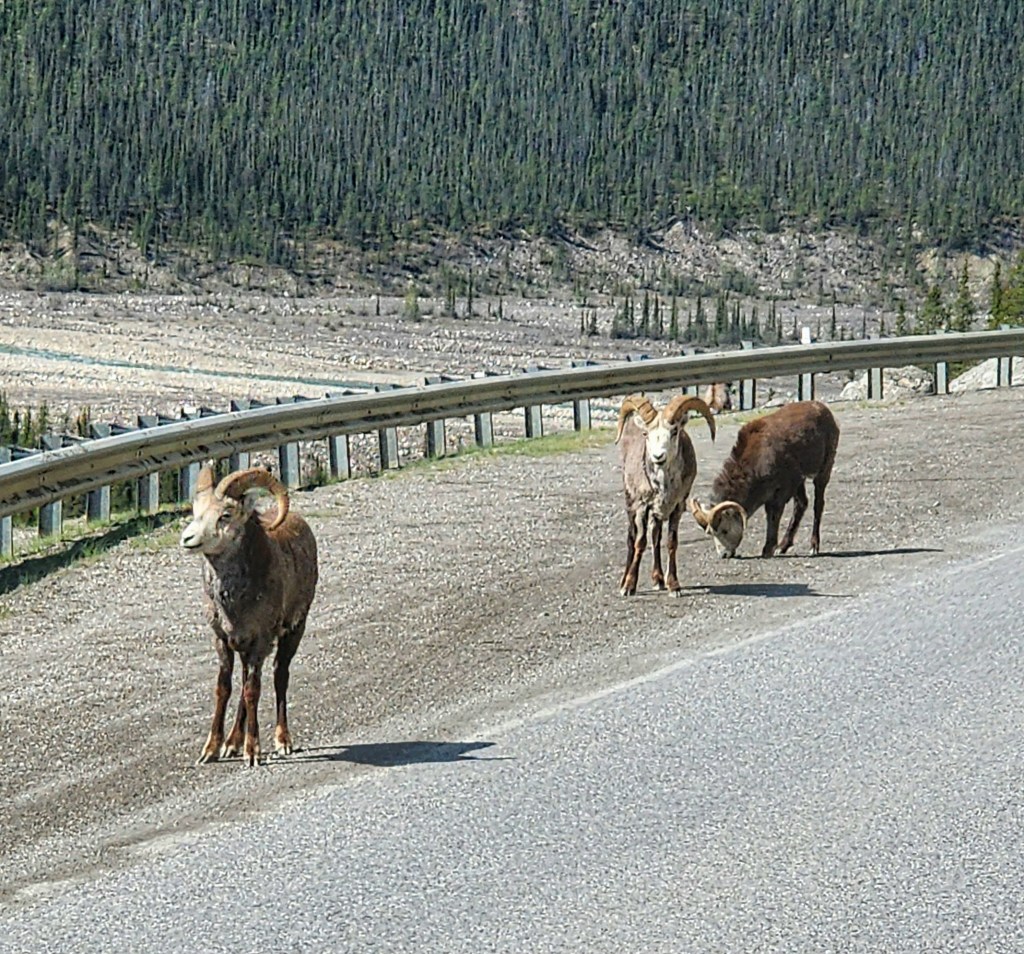
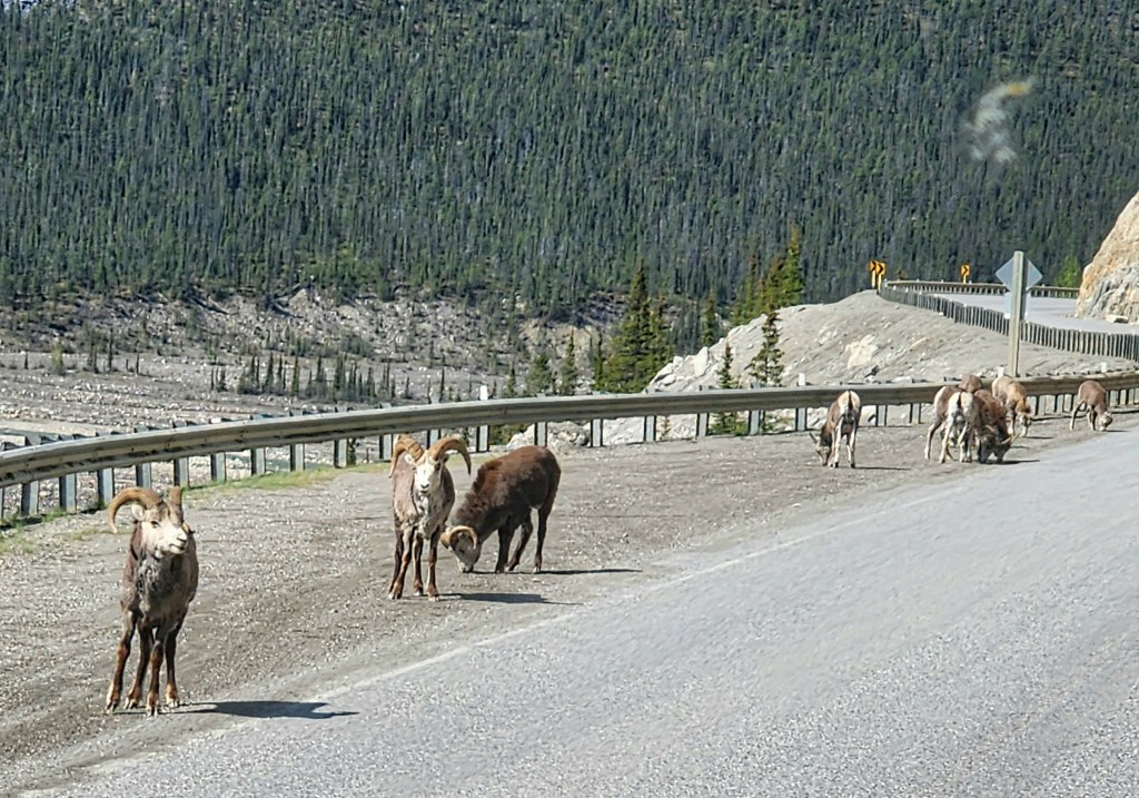
We saw another black bear, deer, 3 moose, and a herd of bighorn sheep.
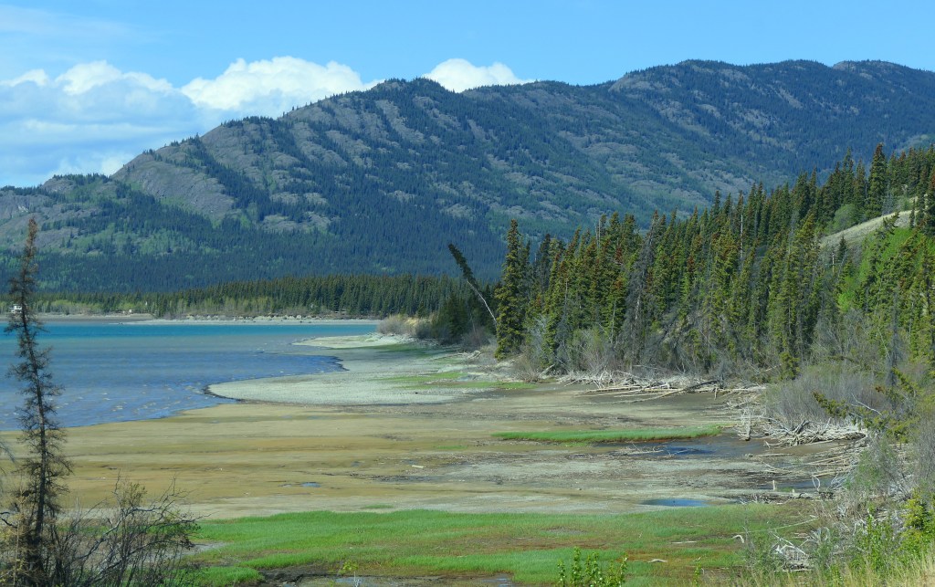
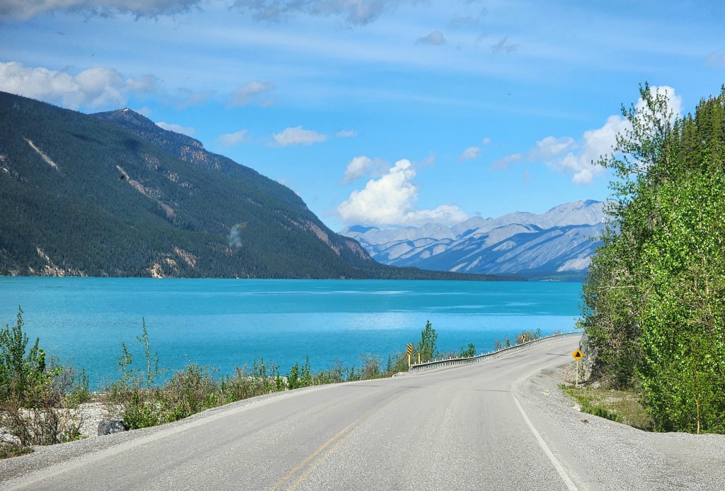
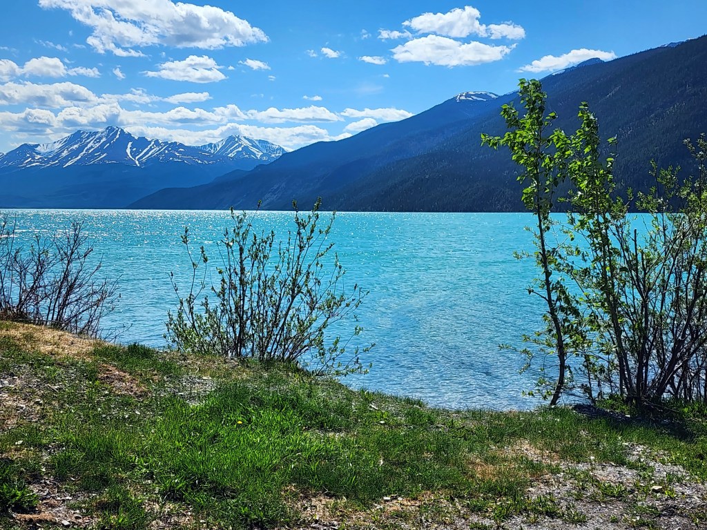
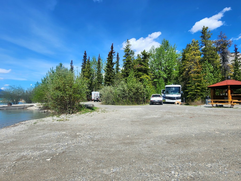
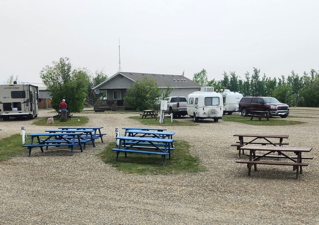
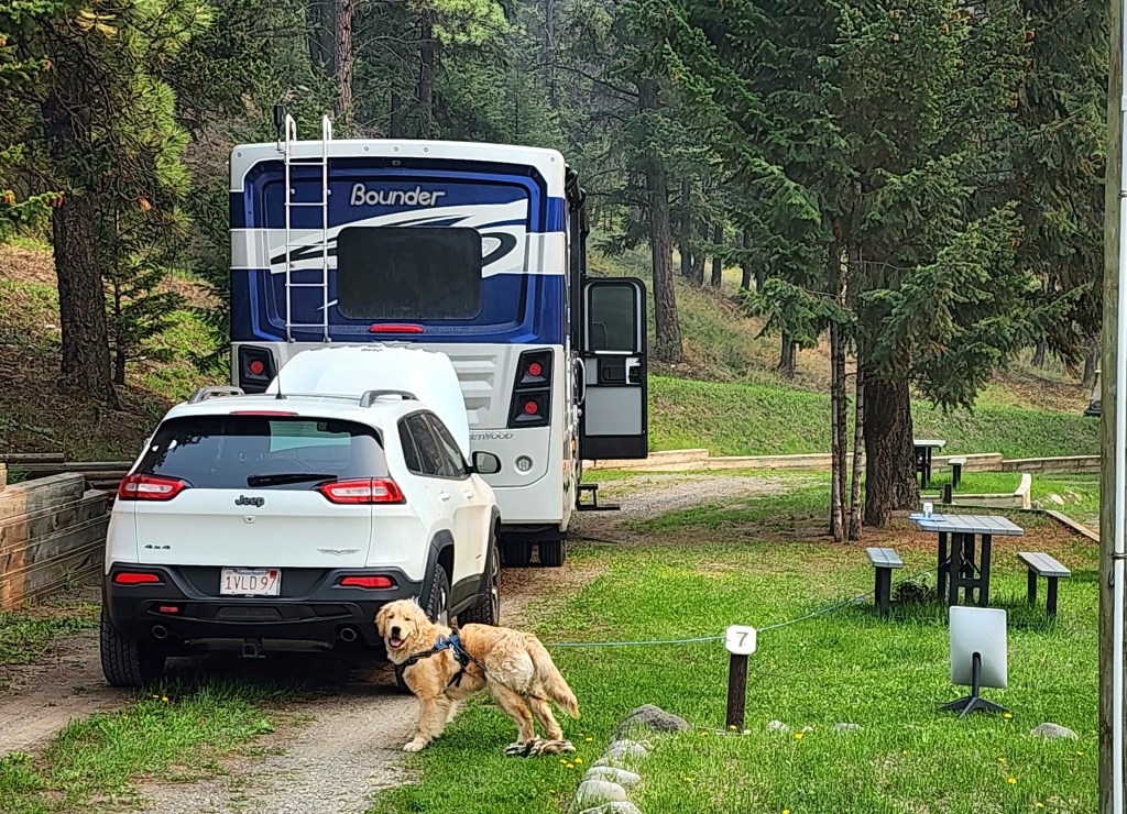
Yes, the lake really is that incredible shade of blue. We have a layover day here tomorrow when we plan to check out the nearby hot springs, and let Beau have a few more swims. Our site is right overlooking the lake, doesn’t get much better than that! On the down side, we’re having technical difficulties (again) with the leveling system that was supposedly fixed during the extended repair session since last June.
This post covers the last couple of days which have been a bit eventful. During our travels yesterday we started out with a beautiful day and no smoke. We left Prince George, an interesting city with the Fraser River running through it. The river seems as large as the Mississippi, and with all the snow melt it was raging. The roads here don’t have a lot of places you can safely pull over so no pictures. I would have tried for windshield shots but the bugs were so thick, all it looked like were a bunch of black dots 😦
The first spot we could stop was at Azouzette Lake which still hadn’t thawed. But smoke returned as we headed further north.
That day we saw 4 black bears by the side of the road, but no ability to stop. The smoke picked up again shortly after I took this picture and stayed with us until Dawson Creek at our campground (remember, there are no clouds, this is all smoke). We had to keep the RV closed up for the smoke.
Unfortunately, during the drive that day Beau decided to cause some mischief and chewed my laptop power cord which I found when we stopped for the night. Double-unfortunately, Dawson Creek did not have a Costco or Best Buy (which we had the day before and there are none in our future), and my laptop takes an unusual charger. I had to get a new laptop at a small computer store to tide me over until I can get a charger delivered in 3 weeks. Needless to say, loading a new PC is a PITA, particularly as all of our trip information was on it! Really just getting normal reconnections tonight.
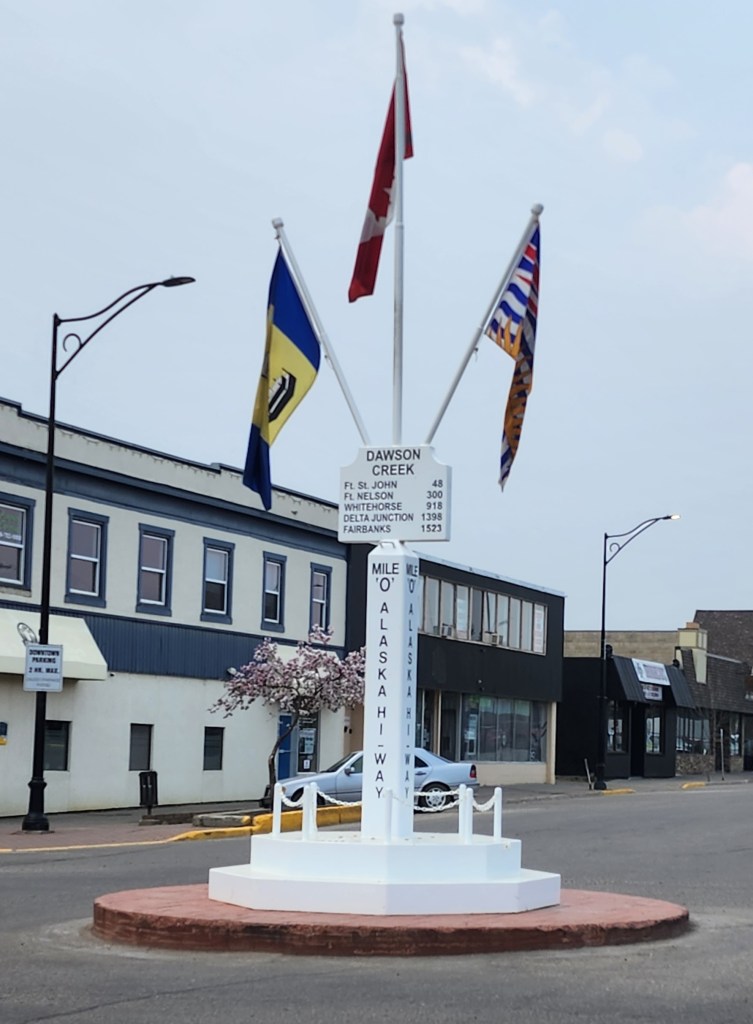
Today we headed further north from the bginning of the ALCAN Highway. Here is the infamous Mile Marker 0 in Dawson Creek.
The ALCAN was constructed in 1942, starting in March and ending in October, over 1,523 miles and took 10,000 US troops. It was built in response to the bombing of Pearl Harbor, to link numerous US airfields supplying Russia, and as a response to Japanese attacks on the Aleutian Islands.
Canada switched to the metric system in the mid-1970s, at which time the mileposts formally were changed to the metric system. However, tradition remains and since then commemorative “mileposts” have been placed. Everything along the highway is referenced by this system (for example, “the next gas station is at Mile 235.3”).
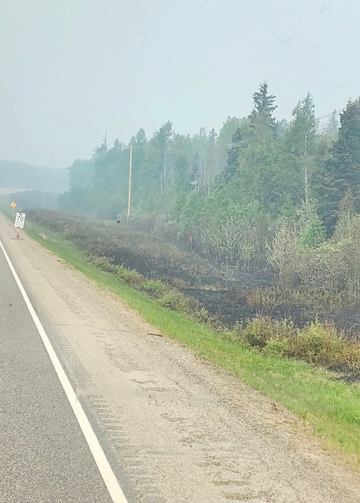
However, soon after we got going the smoke became terrible and then we were at one of the fires right by the side of the road.
Fire fighters were actively fighting the fire which was still burning by the roadside, I have no pictures because getting through those spots was pretty tense. Tonight we are at the Sikanni Chief River, a very pretty spot. Fortunately there was a corker storm that came through after we made camp and provided some much needed rain. We hear tomorrow that things will be clearer and given the great BC Fire app on my phone, we shouldn’t have more fires – smoke maybe.
The Starlink mobile system continues to be awesome. In locations with no cell signal we get enough speed for solid internet, to watch movies and the news, and have wifi call capability on our phones – which for safety is a good thing.
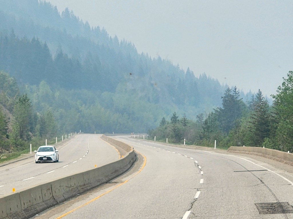
There was an incredible amount of smoke from the British Columbia wildfires. We couldn’t see much beyond the road. Apologies, the photos aren’t great.
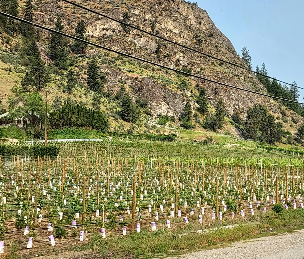
As we started into BC, there were still miles of fruit trees, but also a huge number of vineyards. A lot of them looked newly planted on old orchard land.
A bit further down the road, a gorgeous day.
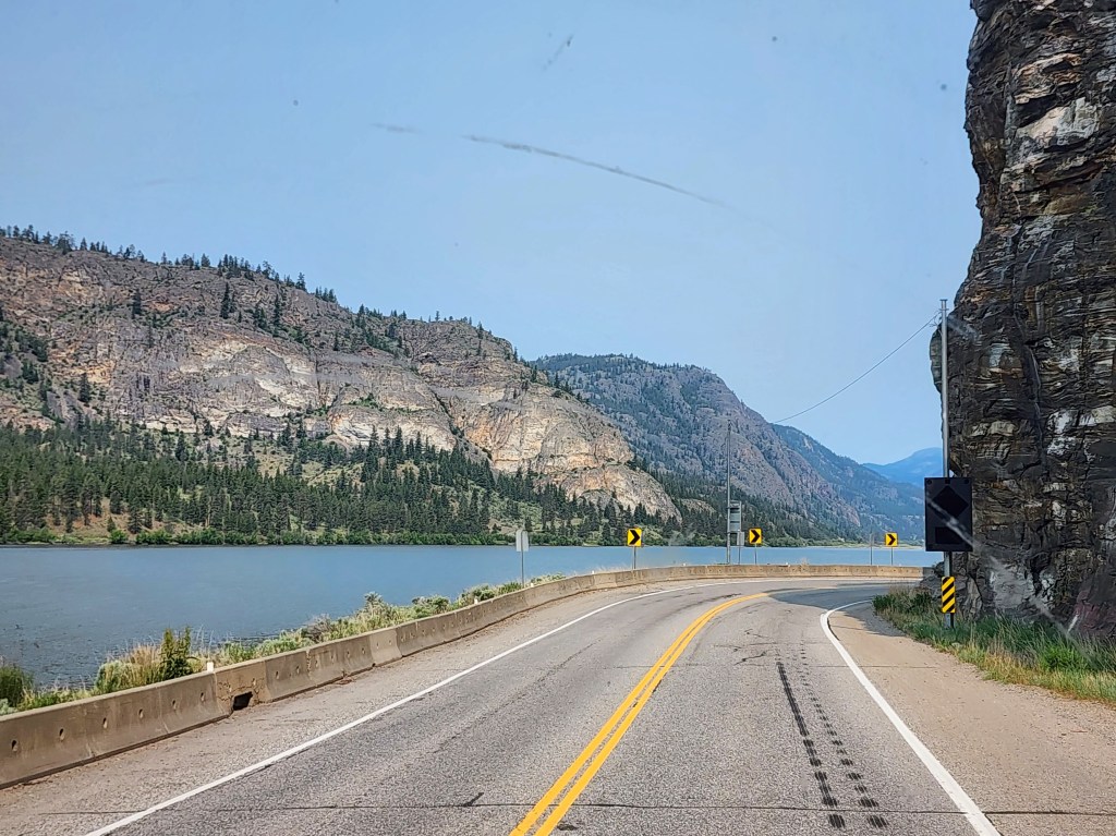
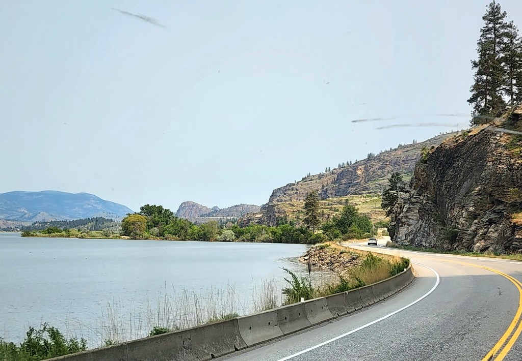
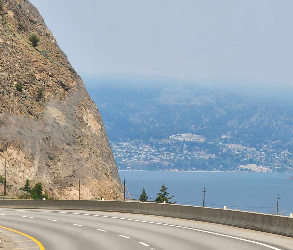
But things went downhill quickly with the smoke as we progressed north up the west coast of Okanagan Lake which was pretty incredible. It is 84 miles long!
Then the visibility and air quality got really bad. I’m sure given the terrain and the (terrifying) dropoffs that the views would have been phenomenal.
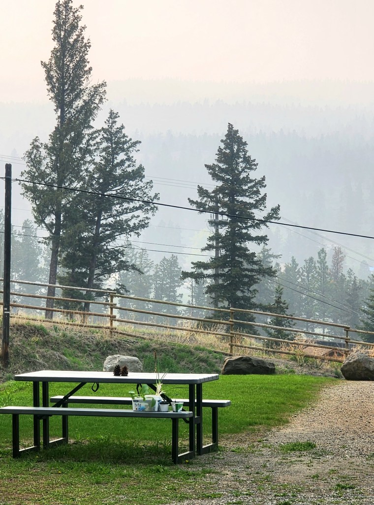
This is the view from tonight’s campsite at a lovely spot. Luckily the winds made the air relatively good at the site – because it is very warm here (high 80’s F) and it was nice to be outside for a bit.
Tomorrow we are headed further north towards some active fires, keep your fingers crossed for us! There aren’t a lot of ways to detour up here, once you commit to a route, it is pretty much it. So hoping there are no new road closures tomorrow.
We’re staying tonight one mile from the border with Canada. Gas tank is full (gas prices in Canada are high!) but still no bargain here – $4.49/gallon.
Traveling here from Spokane the terrain was really different, and there were fruit trees for miles – cherries, apples, pears, and peaches.
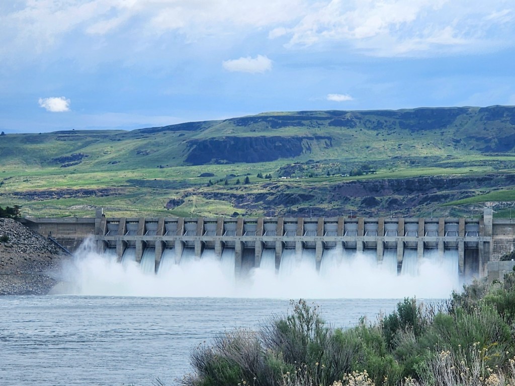
We weren’t able to pull over to take pictures of the Grand Coulee Dam, but we were able to stop at the Chief Joseph Dam. Chief Joseph Dam is the second largest hydropower producing dam in the United States. The powerhouse is over a third of a mile long and holds 27 house-sized turbines. It produces enough power to supply the whole Seattle metropolitan area.
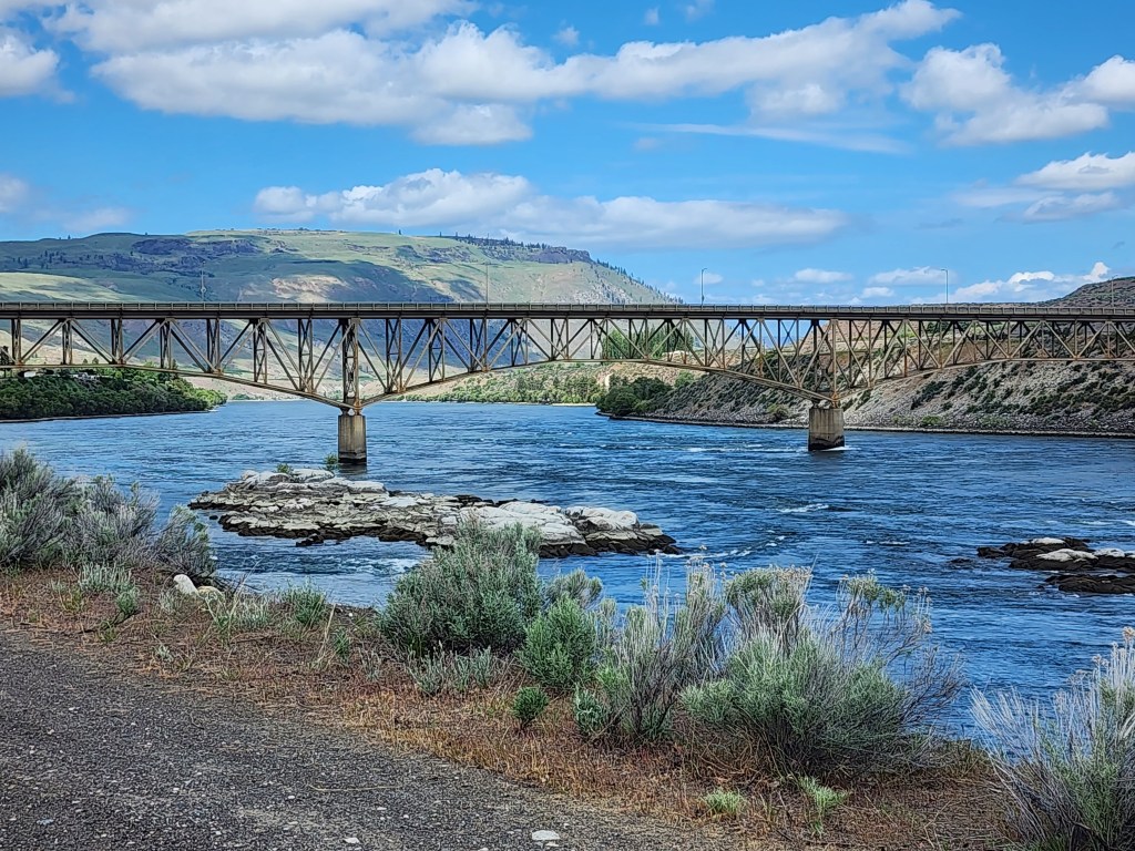
This is the view downstream of the dam of the Columbia River.
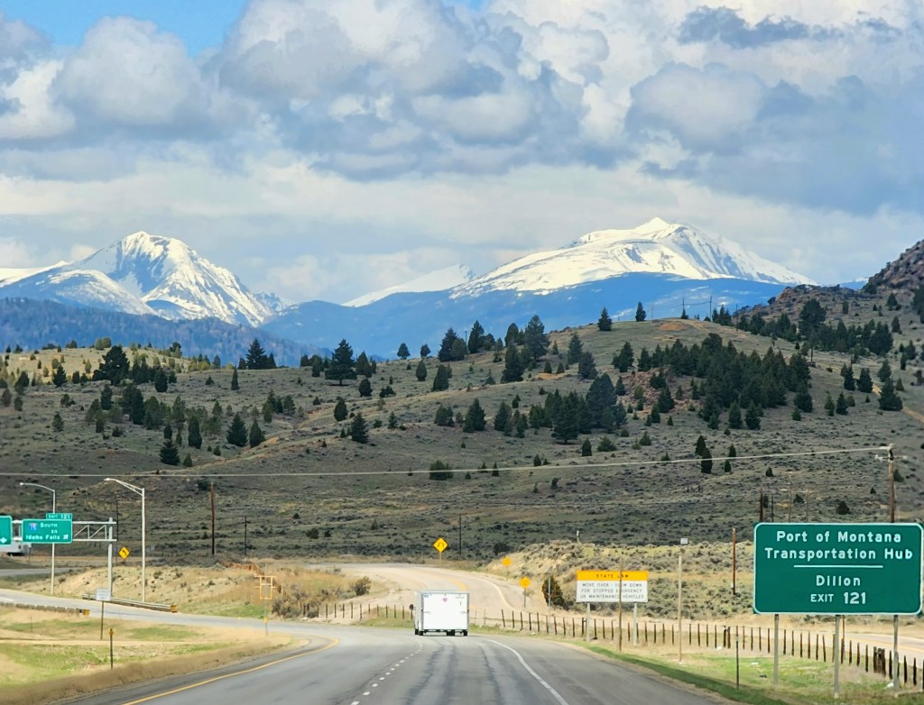
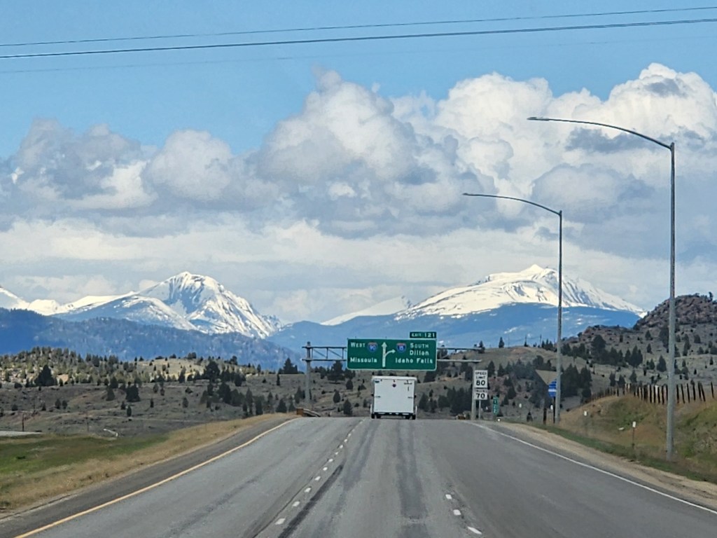
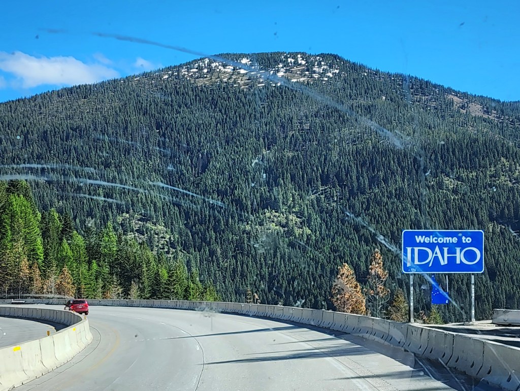
Headed west from Montana through the Idaho Panhandle into Washington. Tomorrow we head north right to the border with Canada. It is really hot here for May. We’re a bit concerned for the road through Alberta with the fires, fingers crossed!
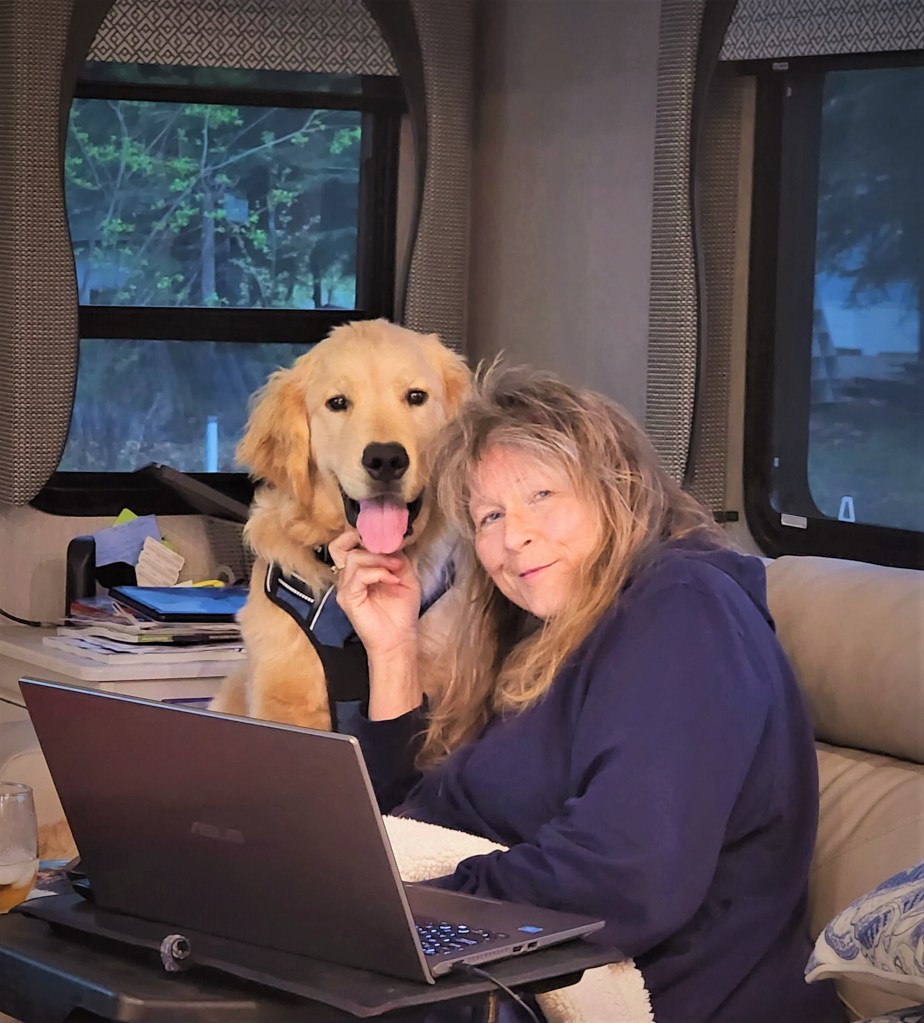
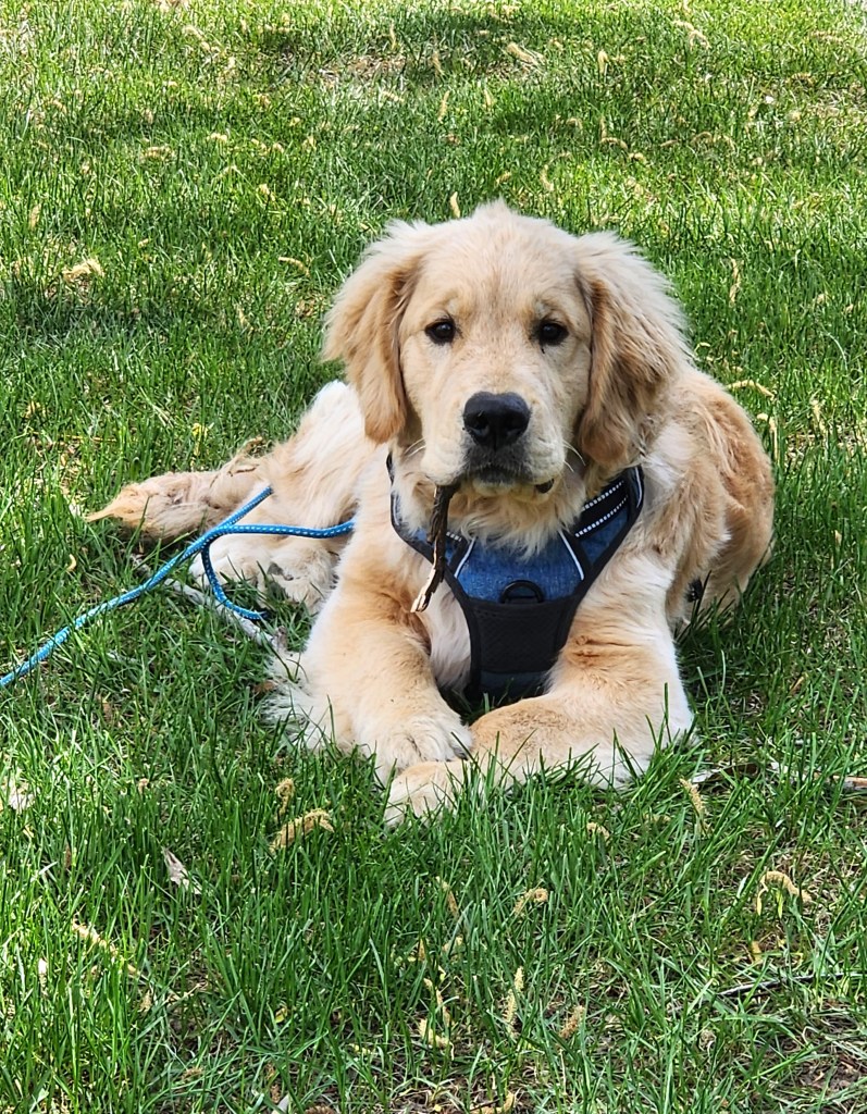
So guess where’s Waldo (Beau) lol!
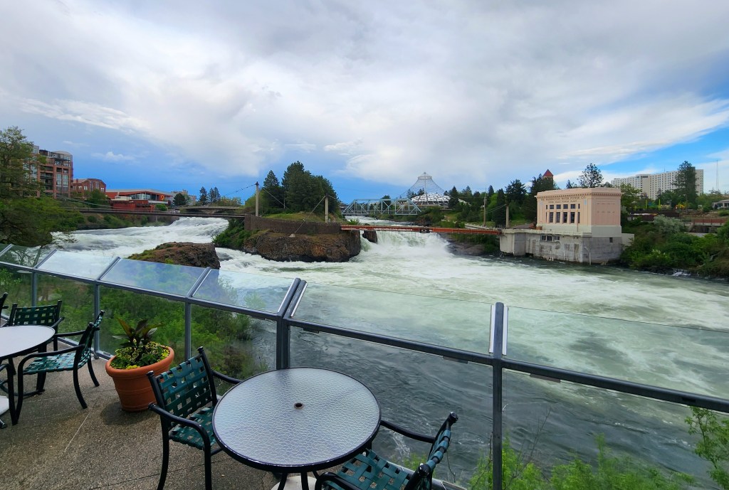
Amazing – the falls on the Spokane River right in the middle of the city!
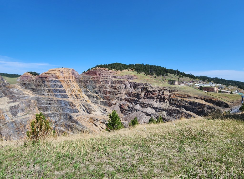
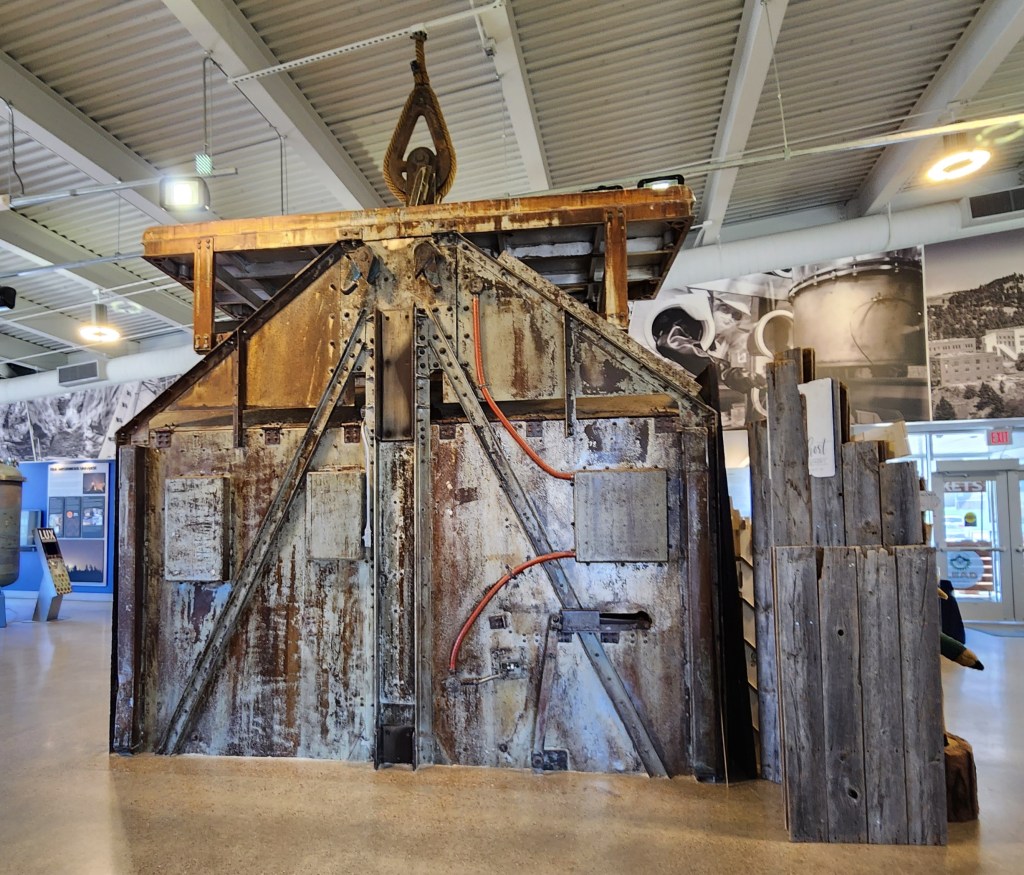
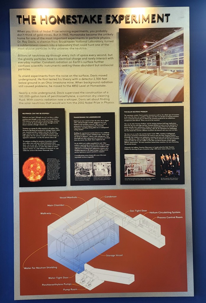
Had a great day! We started out visiting the town of Lead, SD. It is the home of the historic Homestake Mining Company that pulled $41 M of gold from the mine. It has now been reimagined as a deep underground laboratory for advanced physics research by Sanford – it began with an experiment that landed the Nobel Prize.
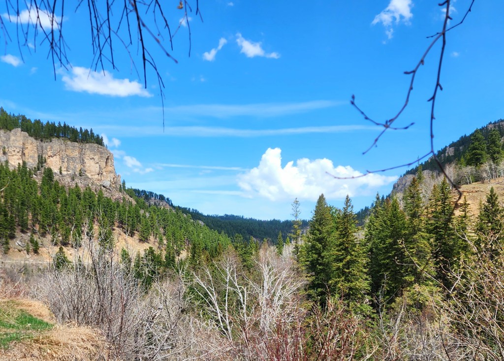
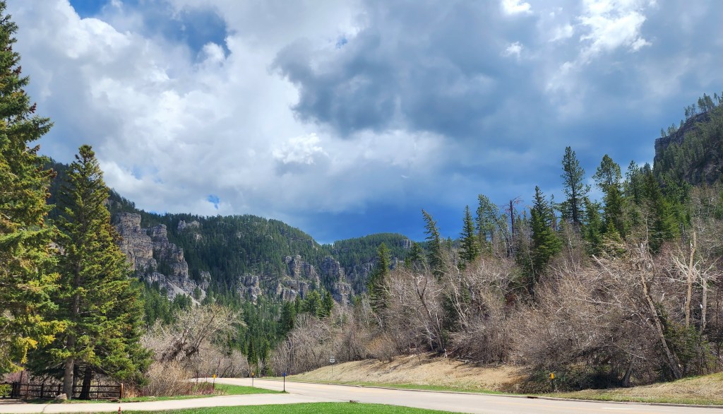
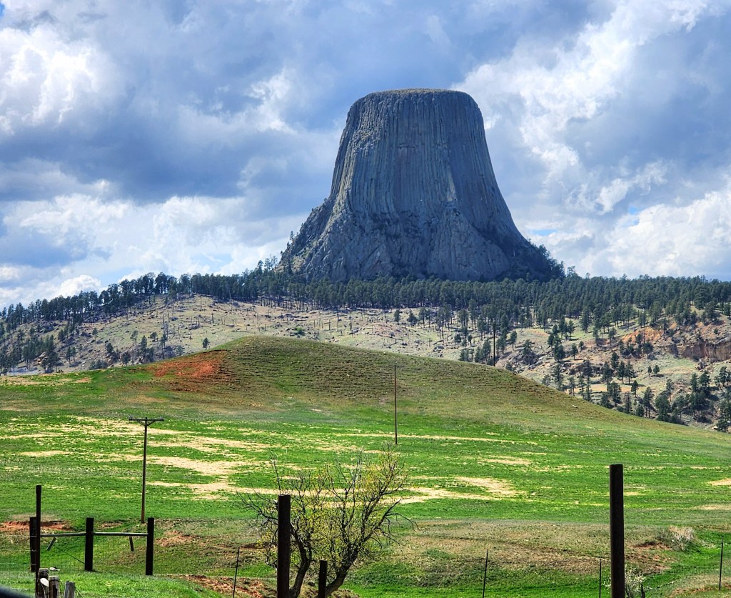
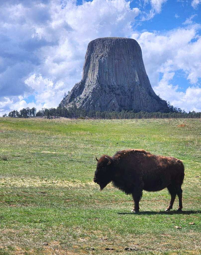
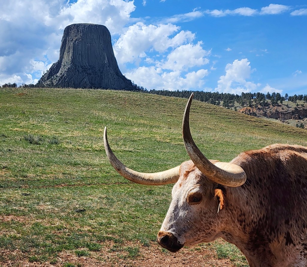
After that, we had a beautiful drive through Spearfish Canyon in SD and then over to Devils Tower National Monument.
Devils Tower was the first National Monument to be designated by Teddy Roosevelt in 1906. It is know by Native Americans as Bear Lodge and the current name is a point of controversy, with many wanting it to return to the Native American name.
There were some interesting visitors taking in the view too.
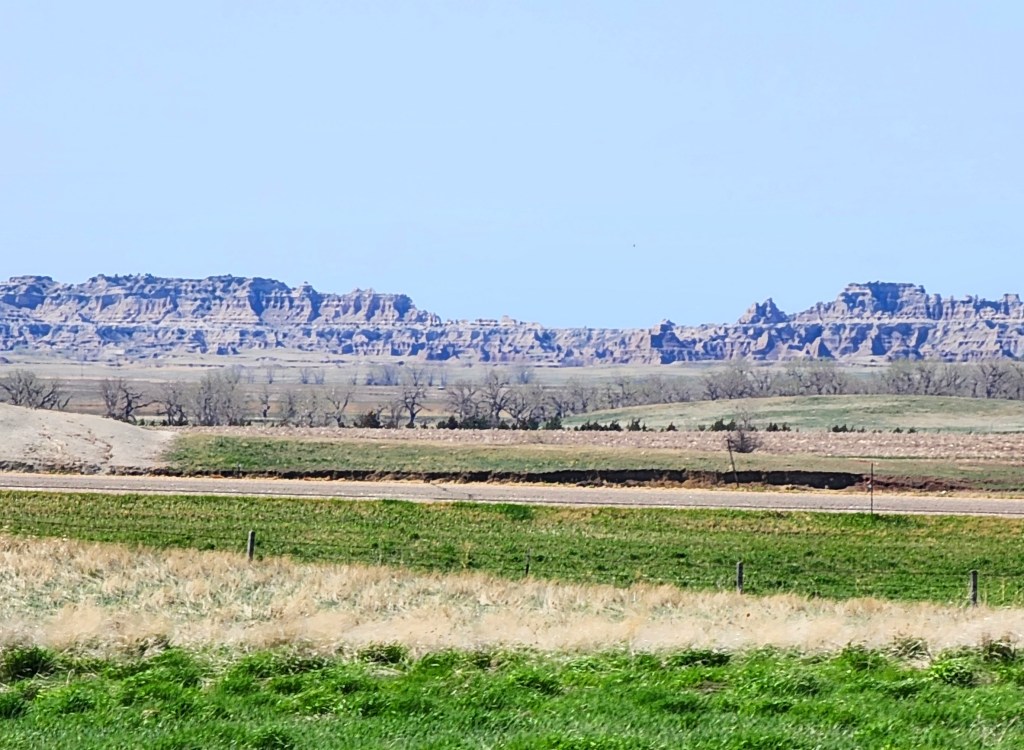
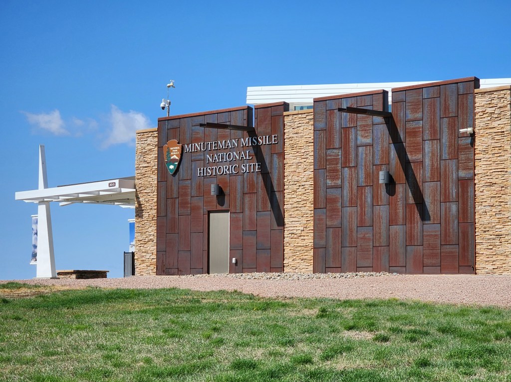
We started out east of the Black Hills at the Minuteman Missile National Historic Site. Here is a view looking over to Badlands National Park which we will visit in September on our way back.
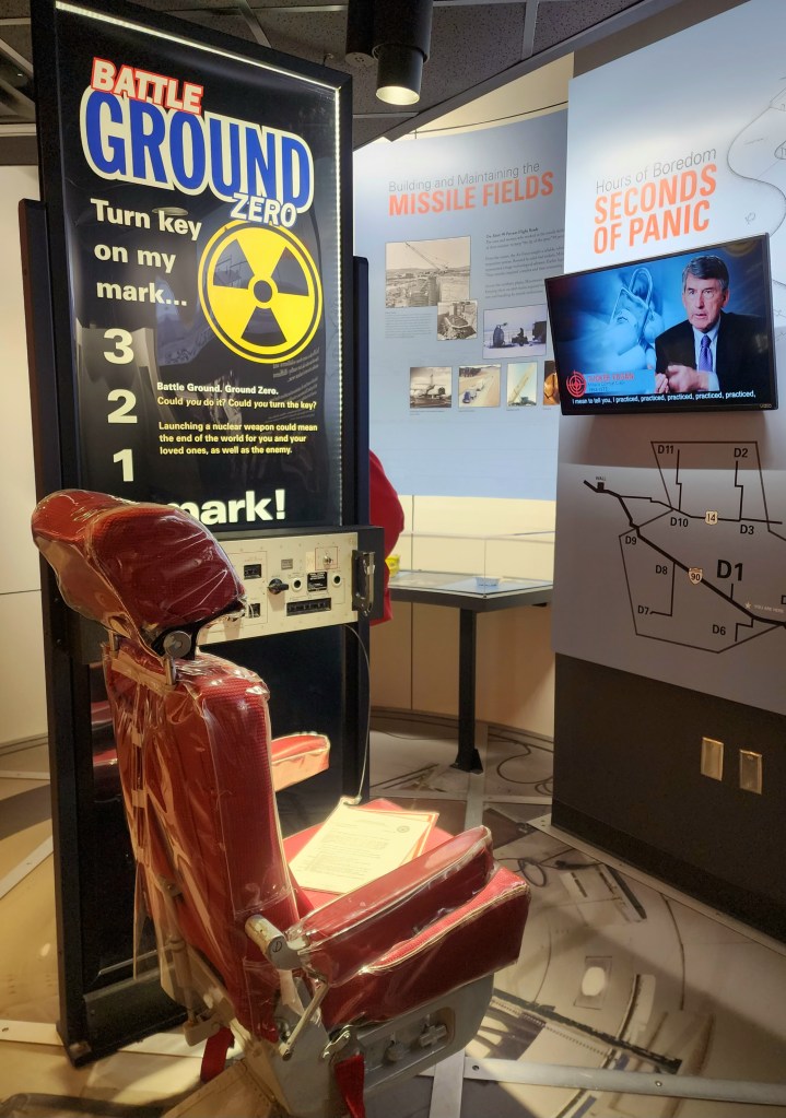
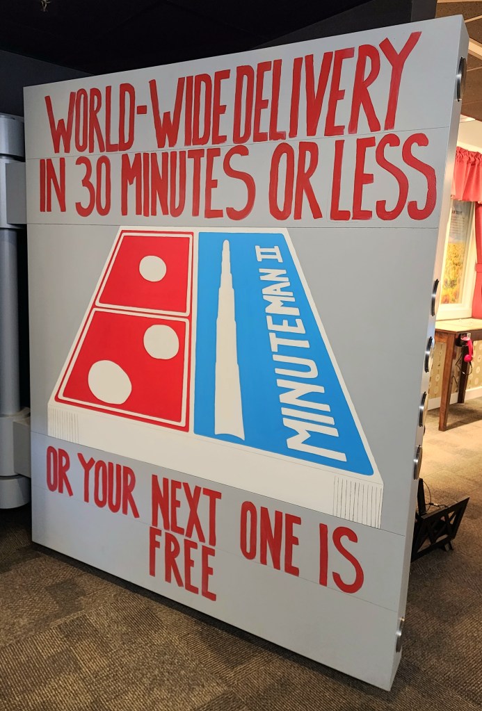
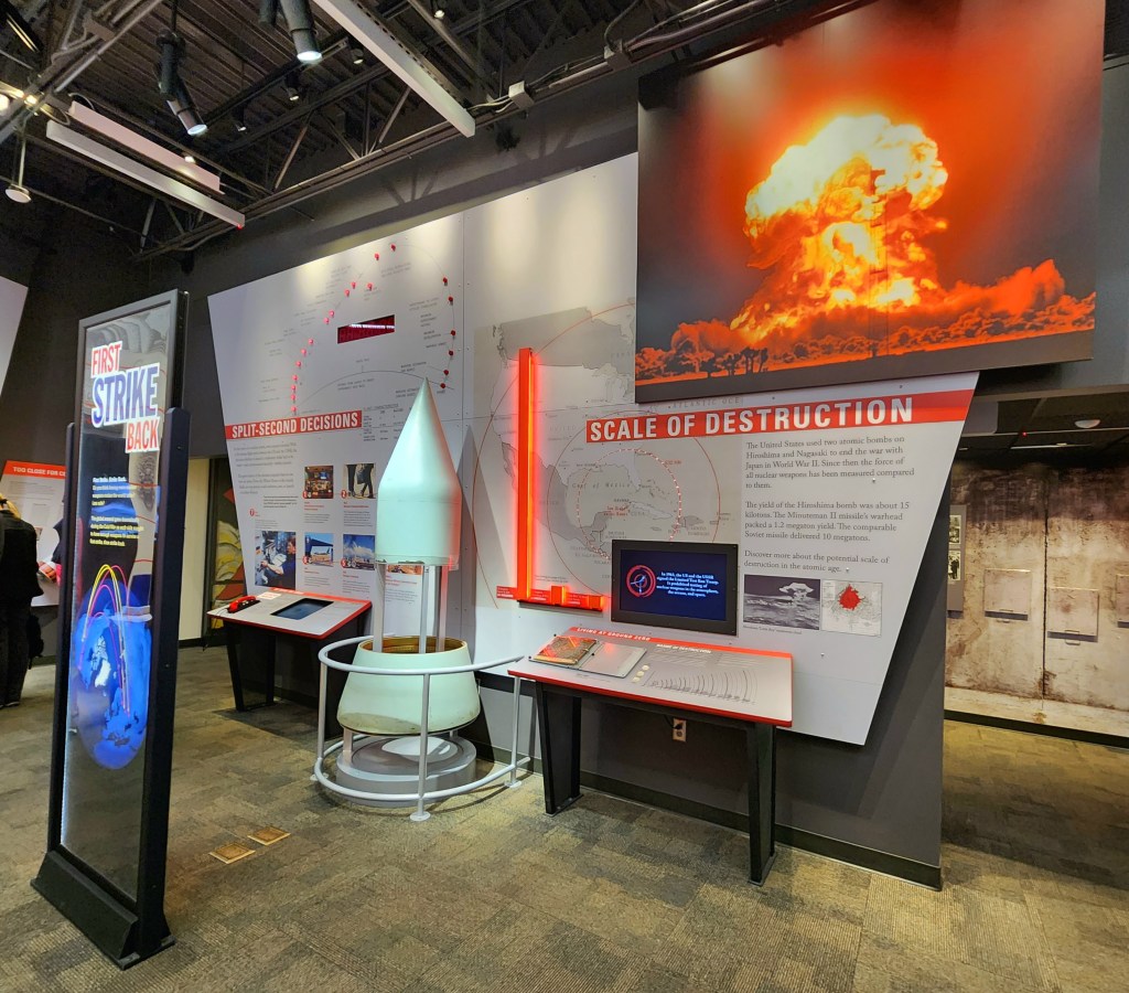
Minuteman Missile NHS tells the story of the International Continental Ballistic Missiles (ICBMs) that were built and armed with nuclear warheads following WWII through the Cold War. After seeing the story of the development of nuclear war weapons when we visited Los Alamos last year, it was a very powerful follow-on.
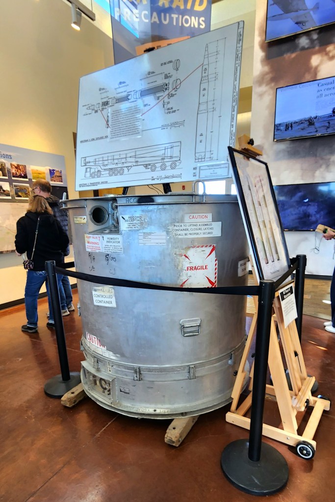
This is how they packaged the components of the ICBMs in transit.
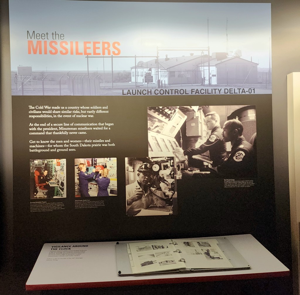
The Visitor Center tells the story of the men and women in the bunkers that were trained and prepared to launch the missiles to Russia at a moments notice over the North Pole, and the amazing feat to hide these missile bunkers in plain site in the remote plains and the effects on the local folks. I am too young to remember the Cuban missile crisis, but this made it all so real.
The incredibly frightful thing was the number of incidents were nuclear war was almost triggered due to errors on both sides. There are over 400 of these silos still operational in the remote areas of the midwest.
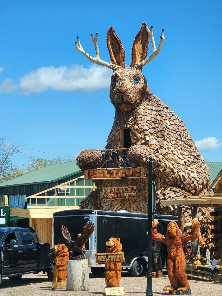
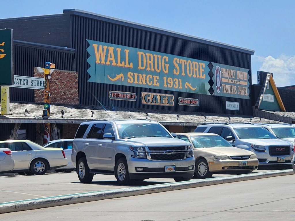
Shortly after we left, we stopped at the legendary Wall Drug. It is on the level of South of the Border, road signs for miles, and incredibly tacky when you get there 🙂 It’s original claim to fame was free ice water and 5 cent coffee, which they still offer to travelers.